Information
- Distance: 3 miles
- Grade: Gentle
- A GPX route of this walk is available: Download GPX
- Directions to Car Park
- What Three Words
beep.ruler.finest
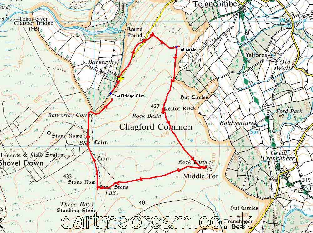
Map
Introduction
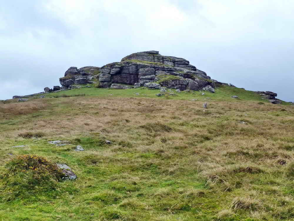
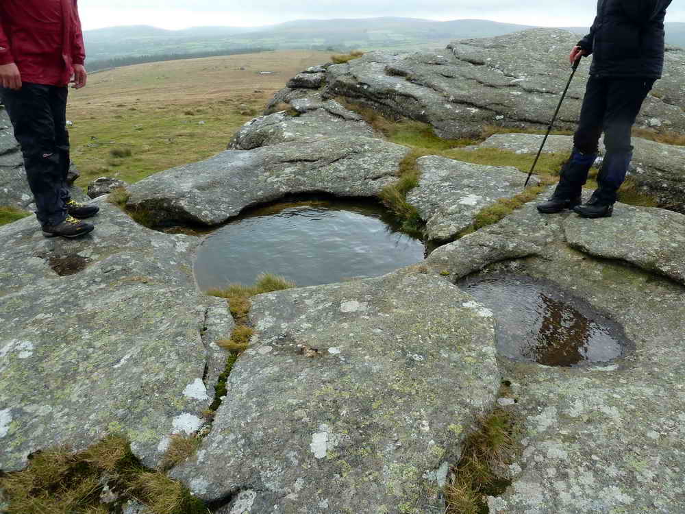
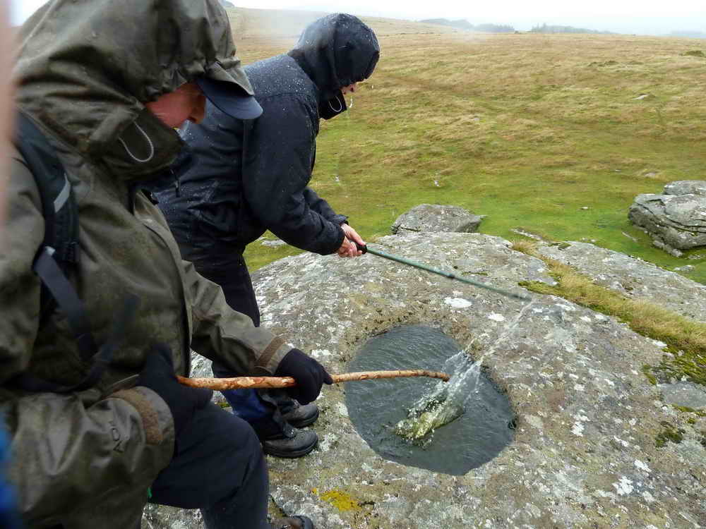
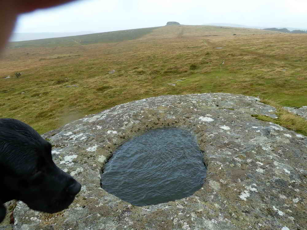
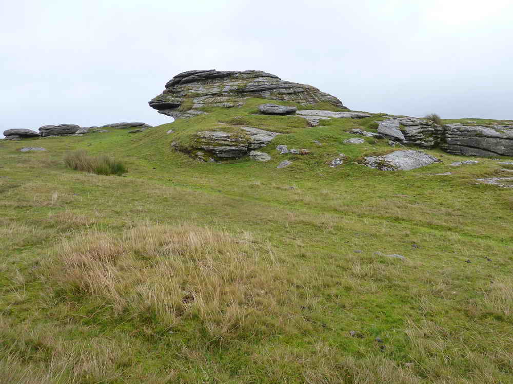
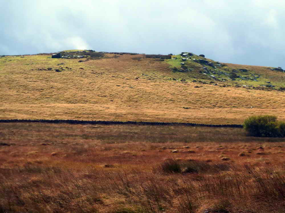
The area around Batworthy, covering both Shovel Down and Chagford Common, is unusually rich in ancient history, even for Dartmoor. Even though this walk is relatively short, and has only gentle inclines, we’ll encounter a lot of bronze age remains, starting with one of the best and largest hut circles on the moor. There’s also two tors included, one of which has some very well formed rock basins.
Road access is quite narrow and so we include some driving directions at the end, although a Satnav will generally find the way.

Round Pound
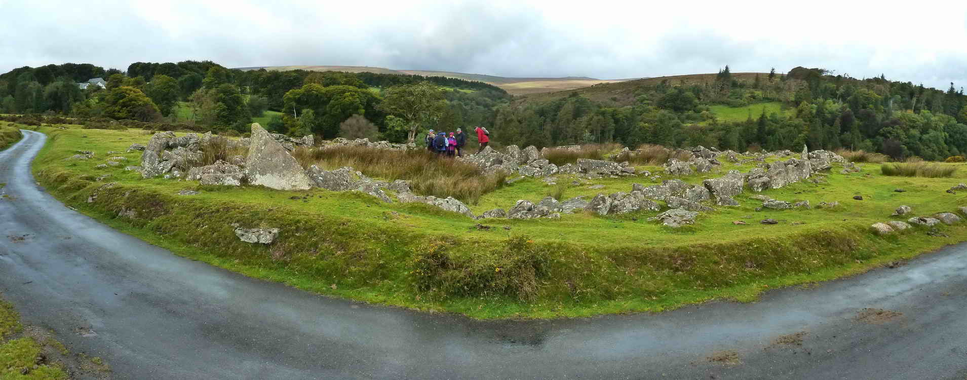
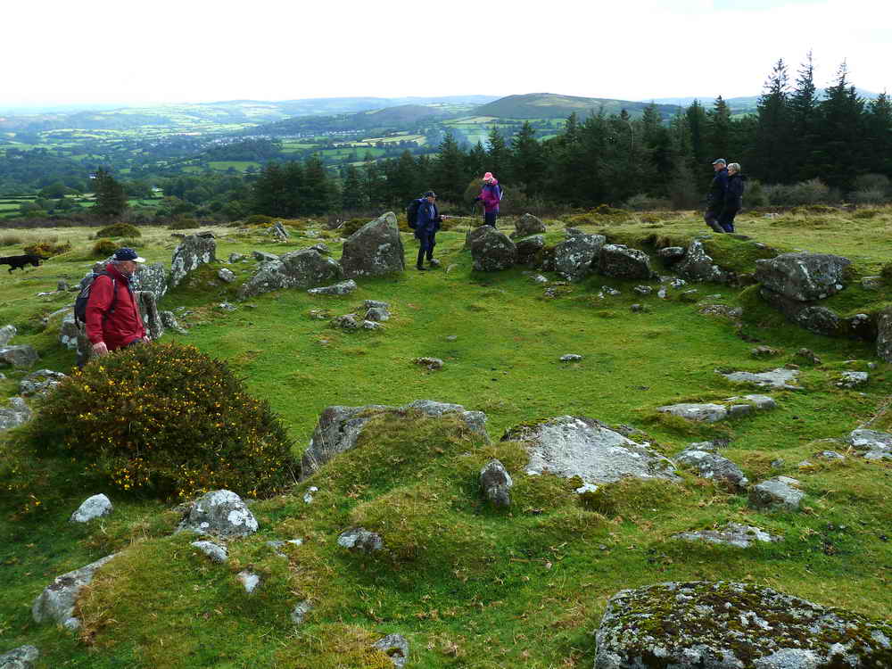
Round Pound enclosure and hut circles at SX 6638 8684.
The outer stone walls, which are up to 4 metres wide and 2 metres high, are made from unusually large rocks and were used to enclose cattle at night to protect them from predators.
Inside the circle, which occupies 0.7 hectares, was a large central hut and another smaller hut. There are also several lower walls radiating out to form separate enclosures within the pound which were likely added during a much later medieval occupation
It’s thought to have been first built in the early Iron Age, around 400 BC and iron smelting equipment was discovered during an archaeological dig in the 1950s. A Bronze Age arrowhead has also been found at this location, and much of the surrounding remains date from that earlier period.
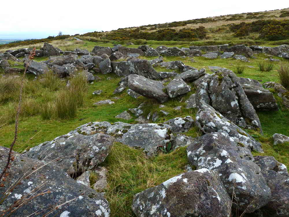
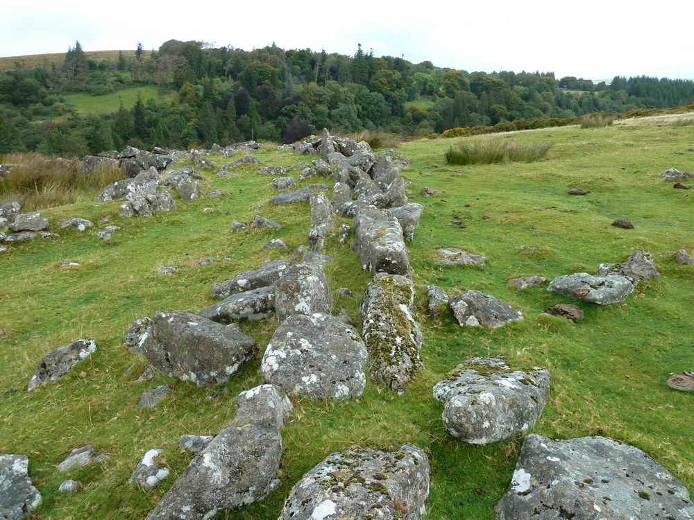
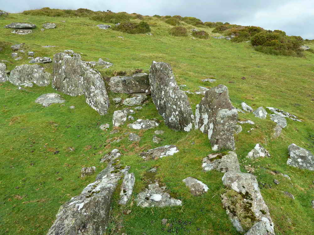
Substantial Hut Circle
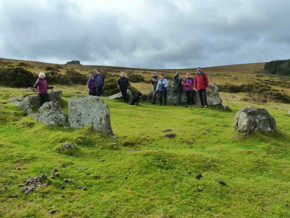
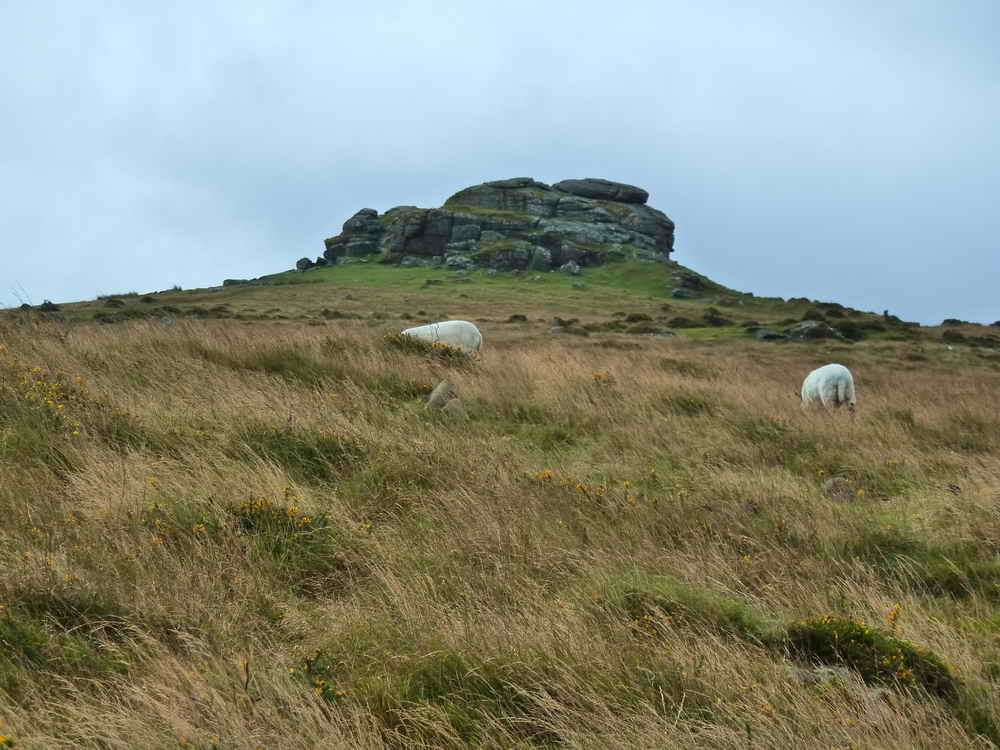
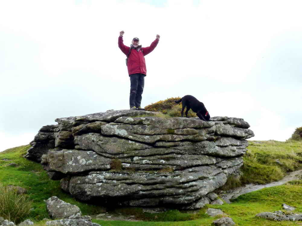
Little Kes Tor
Modern Stone Circle
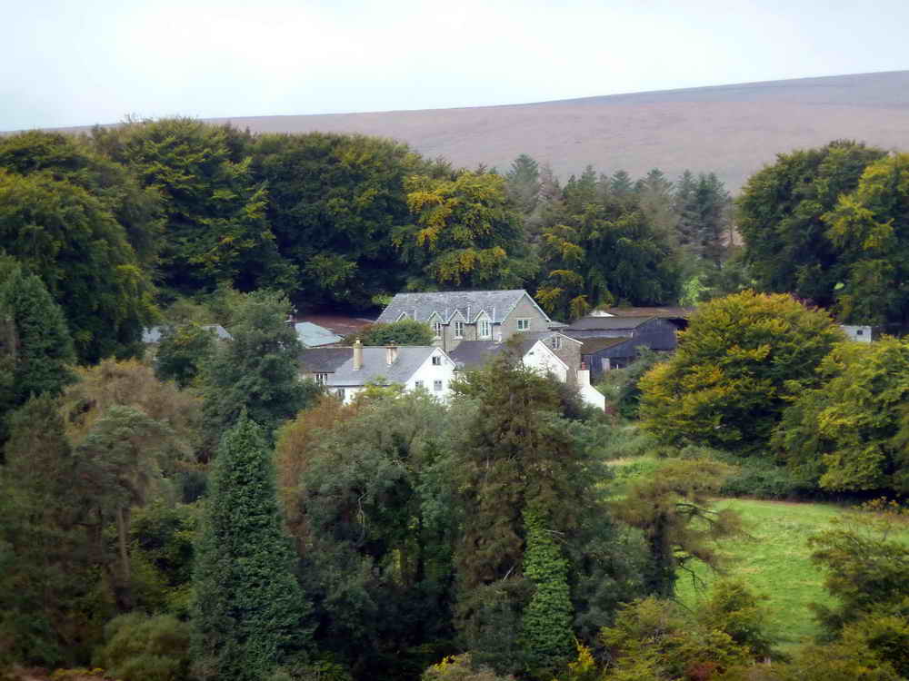
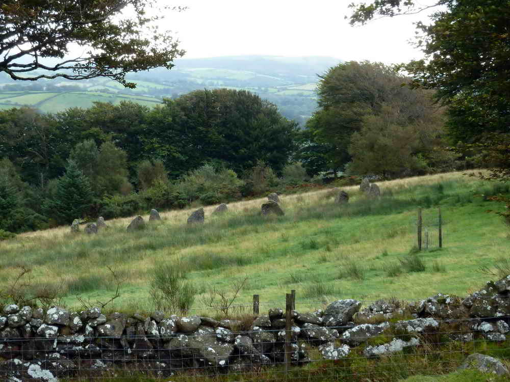
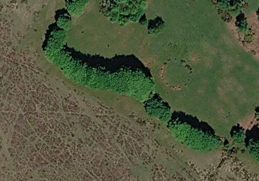
An interesting oddity may be seen in the field to the East of our path. This is thought to be a stone circle built by British comedians Adrian Edmondson and Jennifer Saunders on their land.
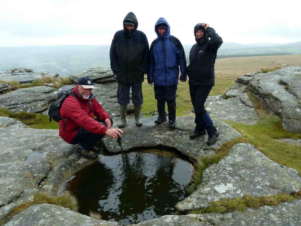
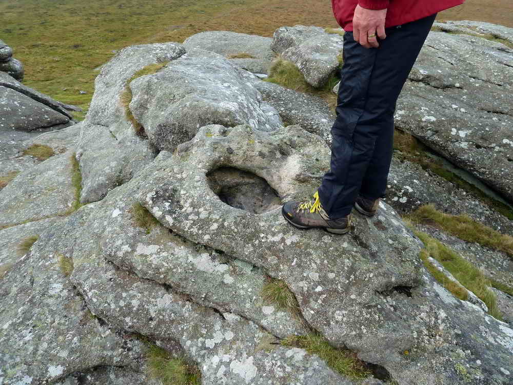
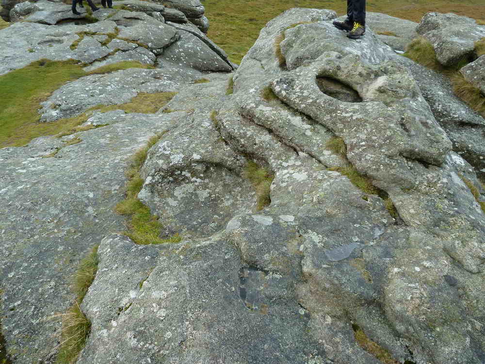
Kes Tor and Basins
Middle Tor
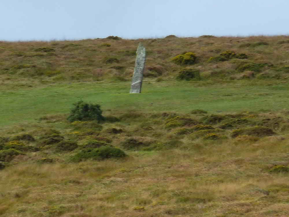
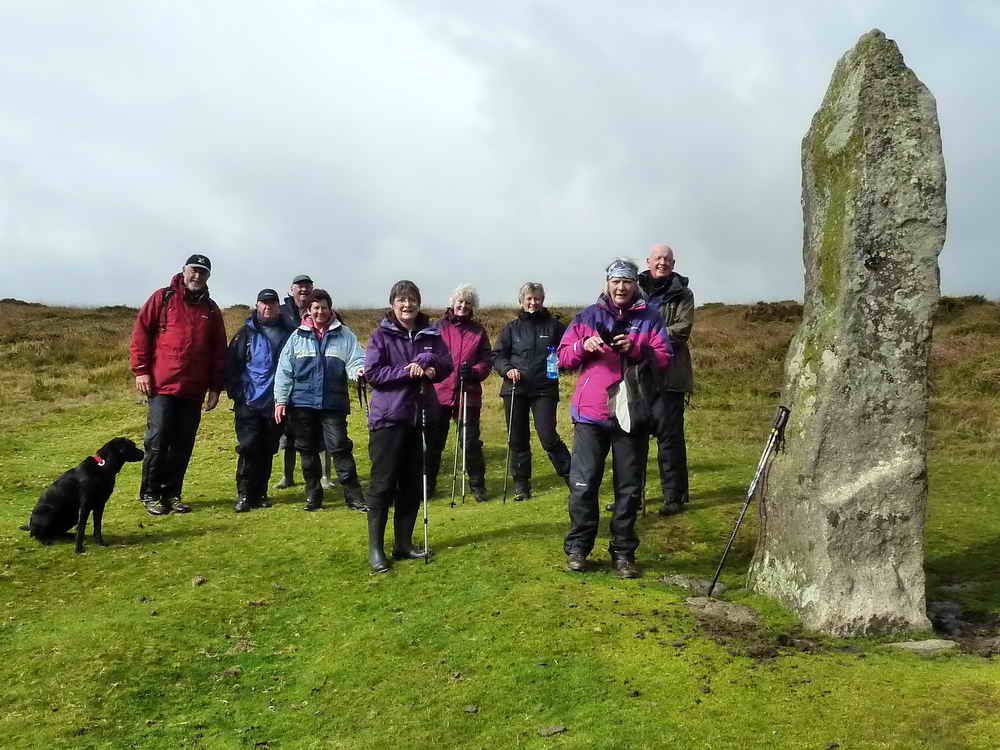
Long Stone Menhir
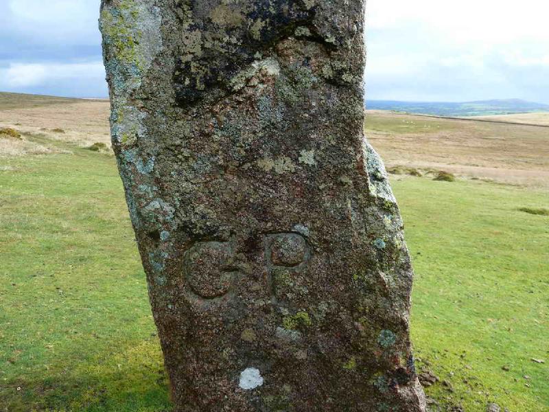
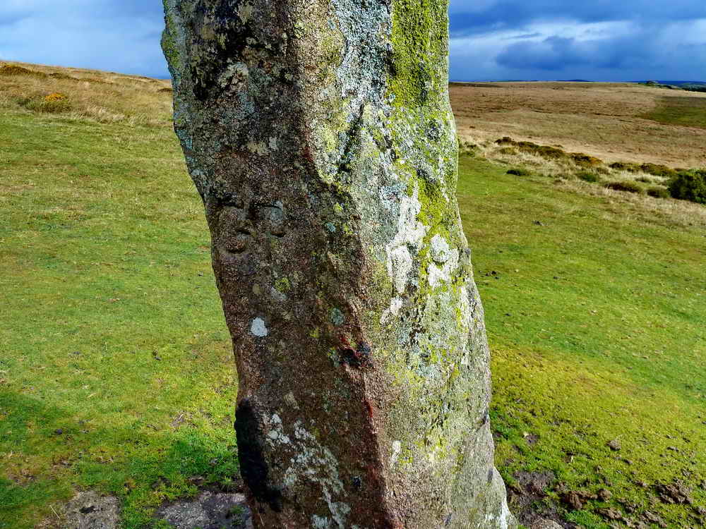
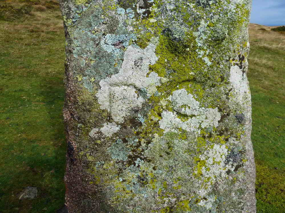
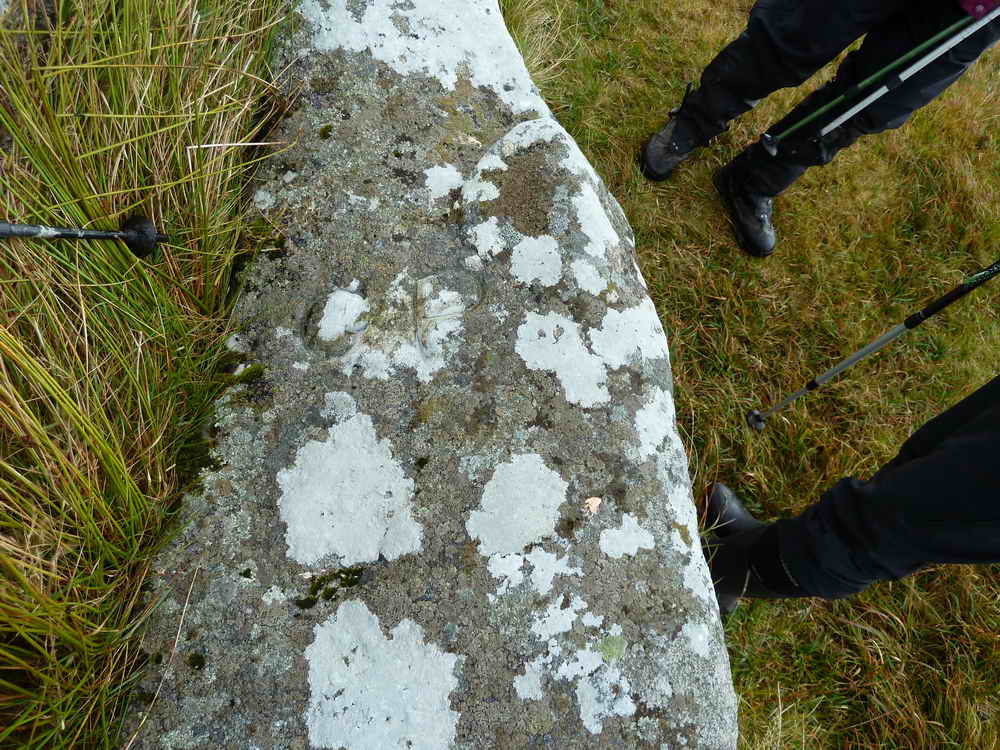
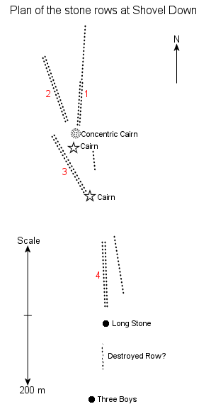
This impressive menhir is known as “Longstone” or “Long Stone” and stands three meters high. It’s linked to several nearby stone rows to the North. There is another smaller menhir a short way sound named Three Boys, but this has fallen. It’s so named as original there were three such menhirs but its brothers are believed to have “been taken for use as gateposts”. Like most of the remains of this walk, this is dated from the Bronze Age, around three to four thousand years ago. The boundary stone carvings imposed upon it are much more recent.
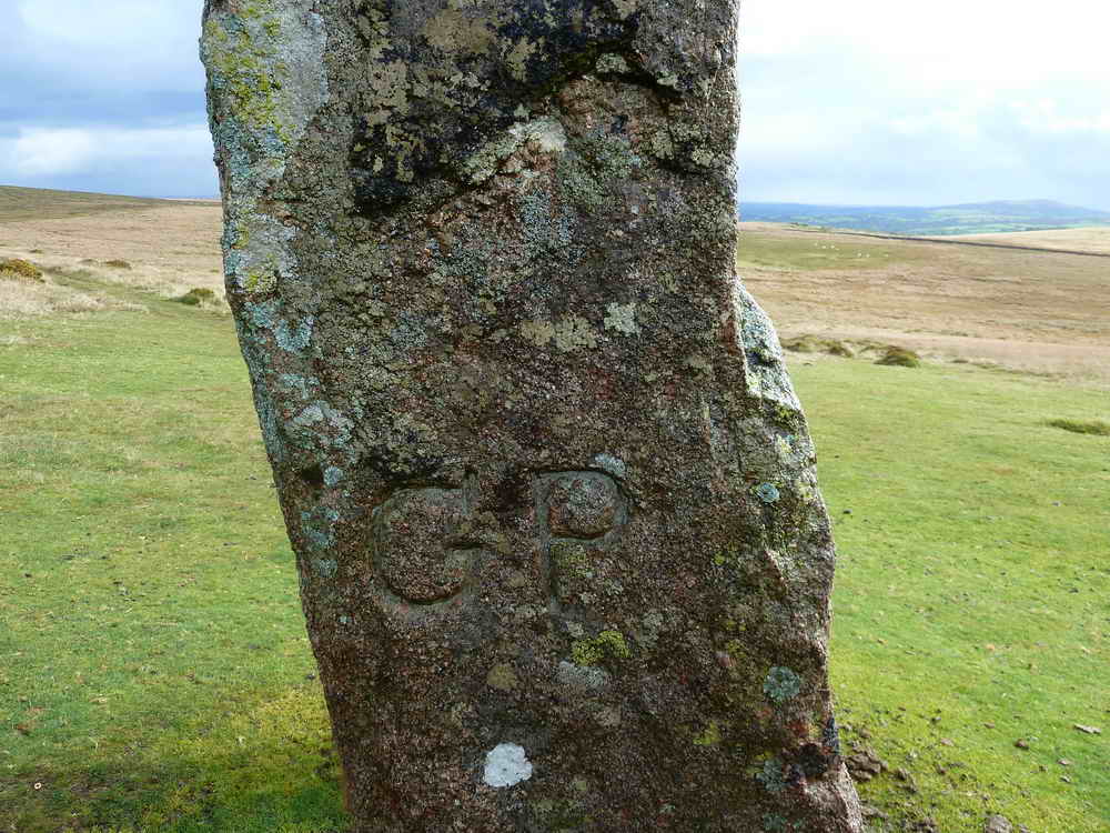
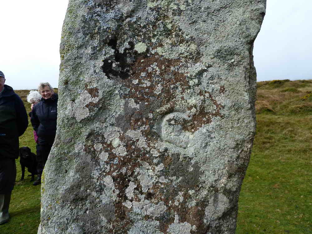
- Heritage Gateway MDV6149: Longstone on Shovel Down
- The Megalithic Portal - The Longstone
- The Megalithic Portal - Three Boys
Double Stone Rows, Fallen Menhir
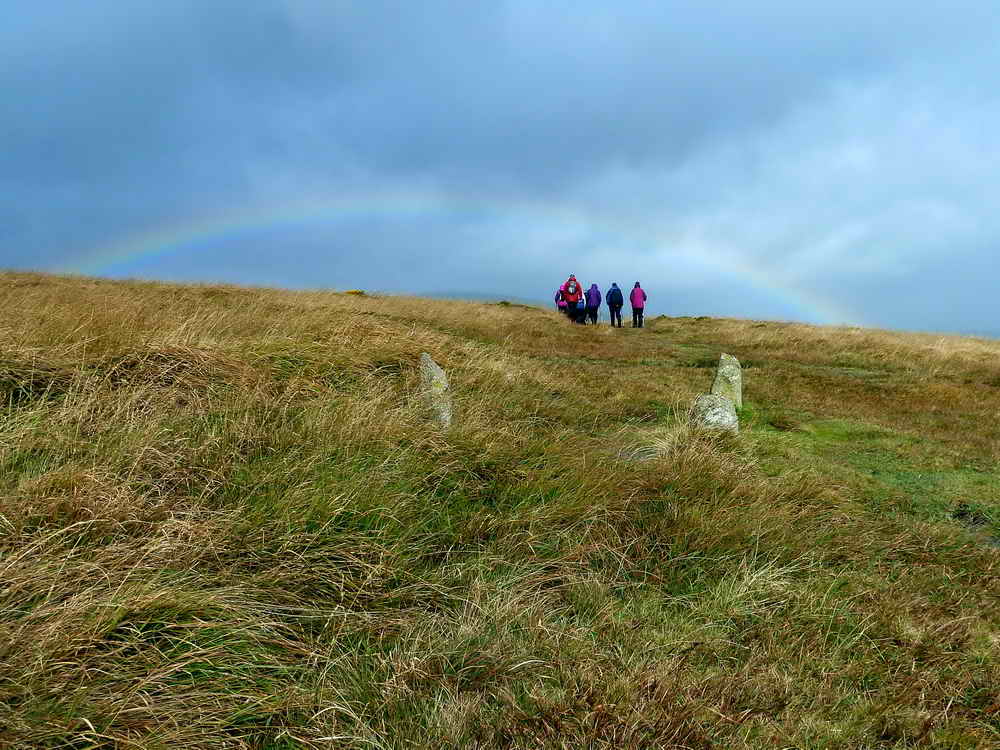
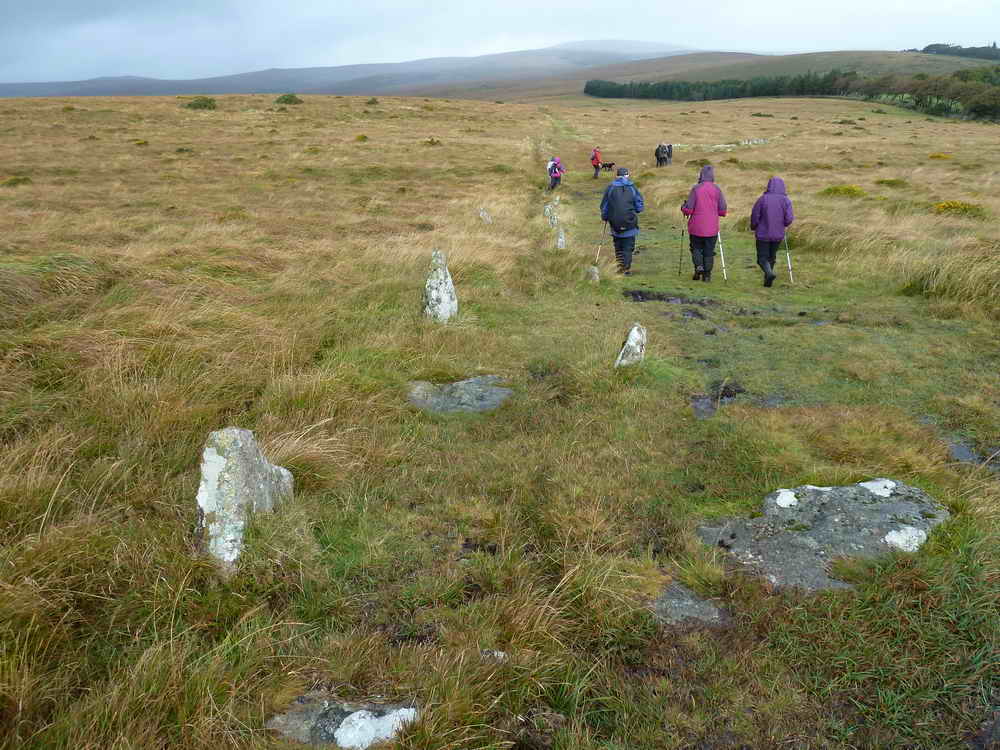
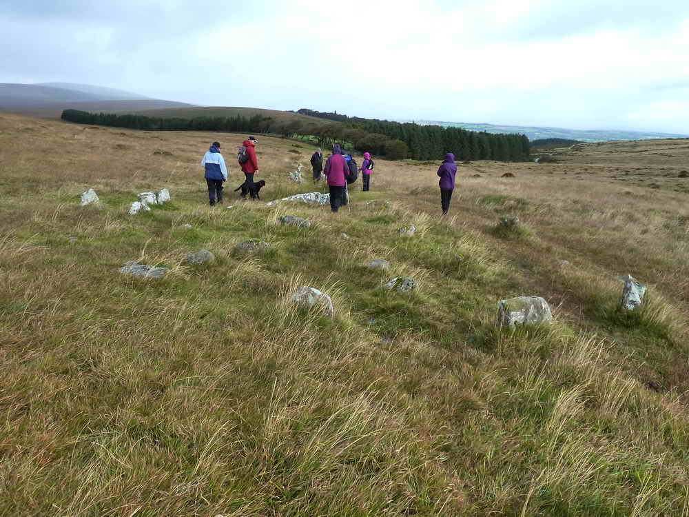
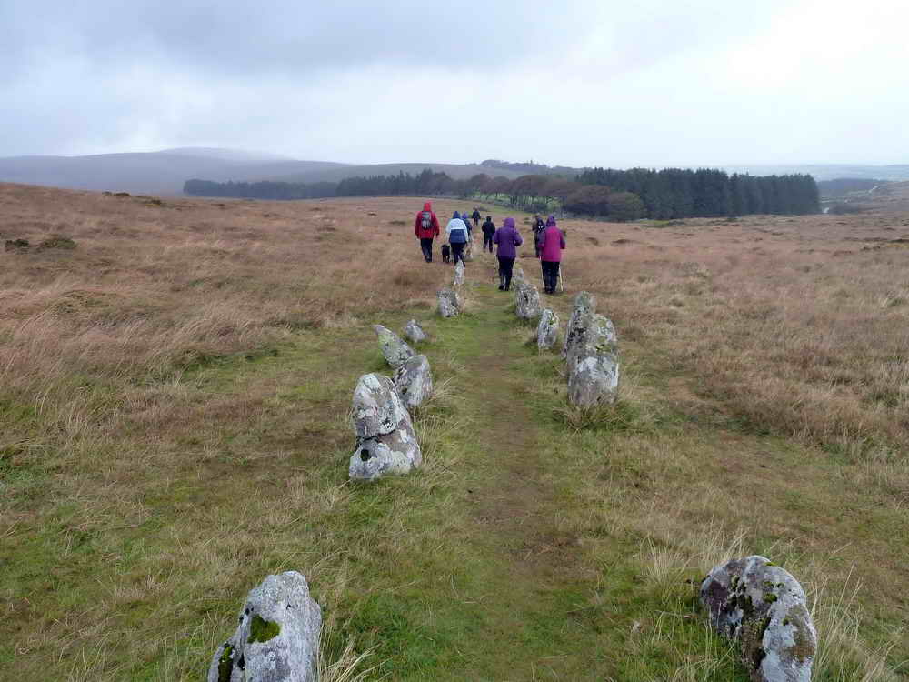
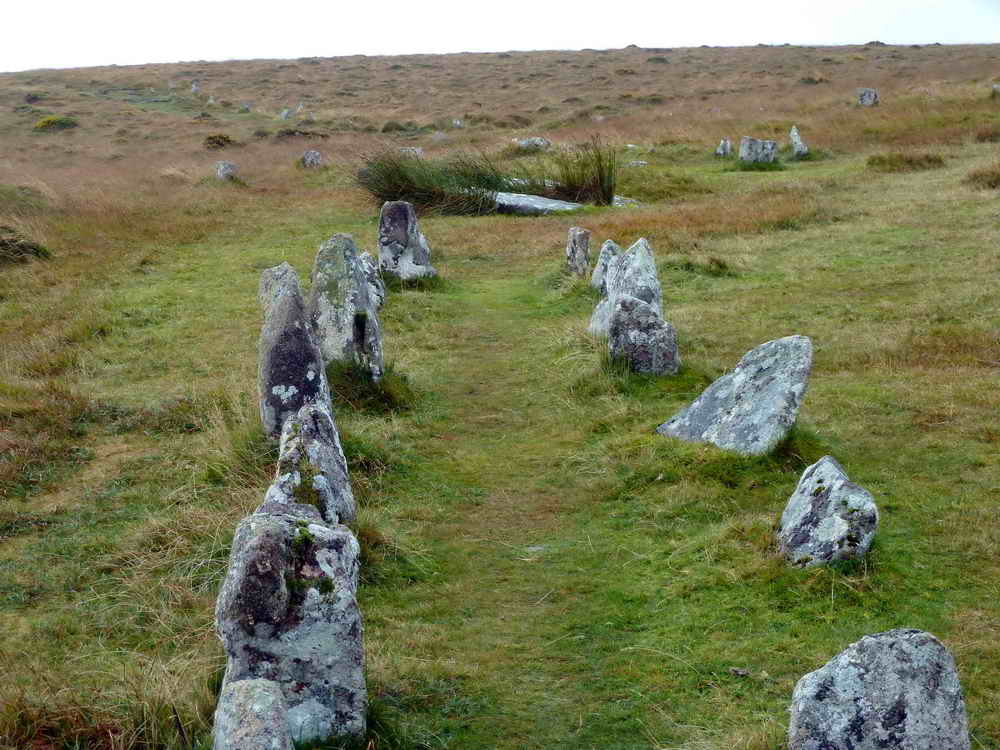
Shortly after leaving The Long Stone you will encounter a double stone row quickly followed by other ceremonial stones, including the “fourfold stone circle” or “concentric cairn” comprised of four stone circles within each other.
Cist
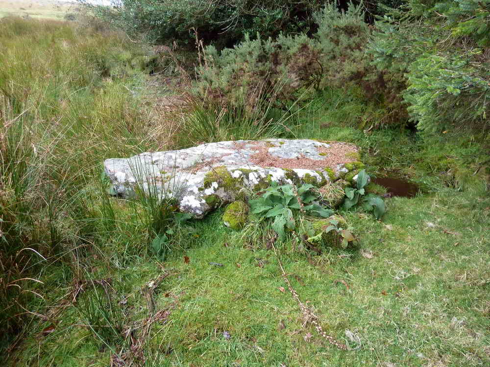
As we approach the woodland, there is a cist at SX 66134 86426
We hope you enjoyed your walk around Shoveldown and Chagford Common.
Road Directions
From Warren House Inn towards Moretonhampstead
The approach roads to Batworthy are quite long and narrow, although rarely busy.
- Postcode for Batworthy is
TQ13 8EU
- Take 1st road on LEFT – route to Fernworthy
- Pass Jurston Farm
- Yellands Crossroads – TURN LEFT
- Pass left turn to Lower Corndon
- Pass right turn and then ttake HAIRPIN LEFT to Fernworthy - use the layby to turn the car!
- Pass a left turn to Higher Corndon
- Take RIGHT turn and pass Collihole Farm, Hole Farm and Cullaton to T-junction, turn LEFT to THORN
- Pass THORN and go to YEO FARM
- At Yeo Farm bear RIGHT to TEIGNCOMBE
- Drive through Teigncombe to the end of the road
- The end-of-the-road car park is marked with the yellow cross.
Parking
There is a small parking area at the given coordinates.