Featured image of post Lower Ashton - River, Road and Rail

Lower Ashton - River, Road and Rail

An easy, short and level walk alongside the River Teign and the abandoned Teign Valley Railway

A gentle 2 mile walk by Simon Avery on Nov 15, 2026
Recorded and photographed by Simon Avery
Added and edited by Simon Avery on Nov 15, 2026

Information

Map

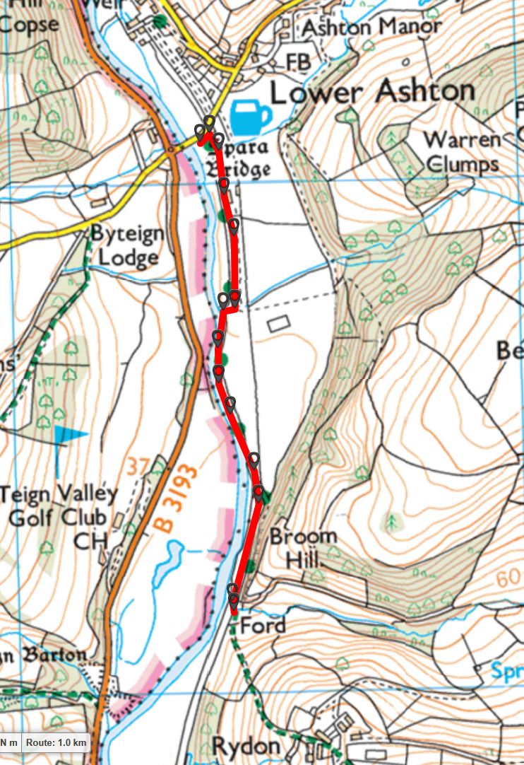
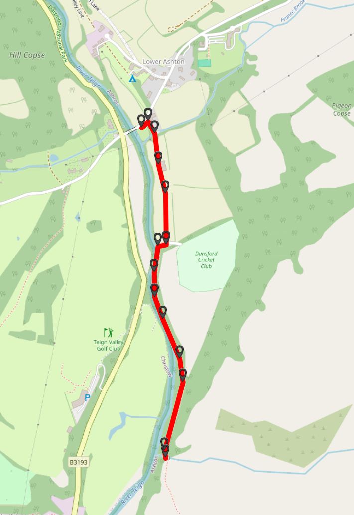
Map of Route -  Crown Copyright -  Ordnance Survey Licence number 100047373

This route is also available on an Openstreetmaps map
Introduction

This is one of my favourite walks and is rewarding in any season or weather. It’s especially colourful during Autumn and offers a nice and quiet walk alongside the river on an ancient track. This walk runs alongside and crosses over the now abandoned Teign Valley Railway - passing by The Station House and the Station Yard. This is a walk “there and back again”, turning around at a gate exactly 1km in, although of course you can continue along the footpath which will take you to the village of Christow. This is just outside of Dartmoor, with the river Teign forming the boundary, but it makes it in here because of its charm.

Station House

The Station House is immediately left of the lane we’ll be taking.
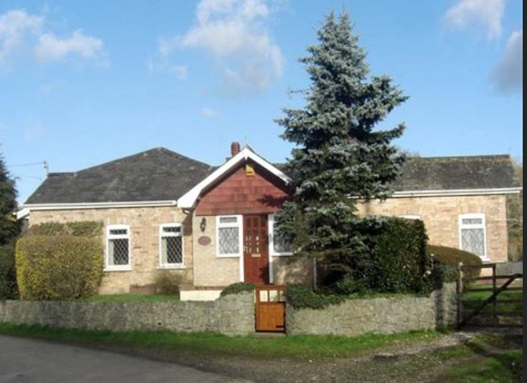
Lower Ashton Station House

This was the Station Master’s residence, who was also responsible for closing the gate across the village road when a train was coming.
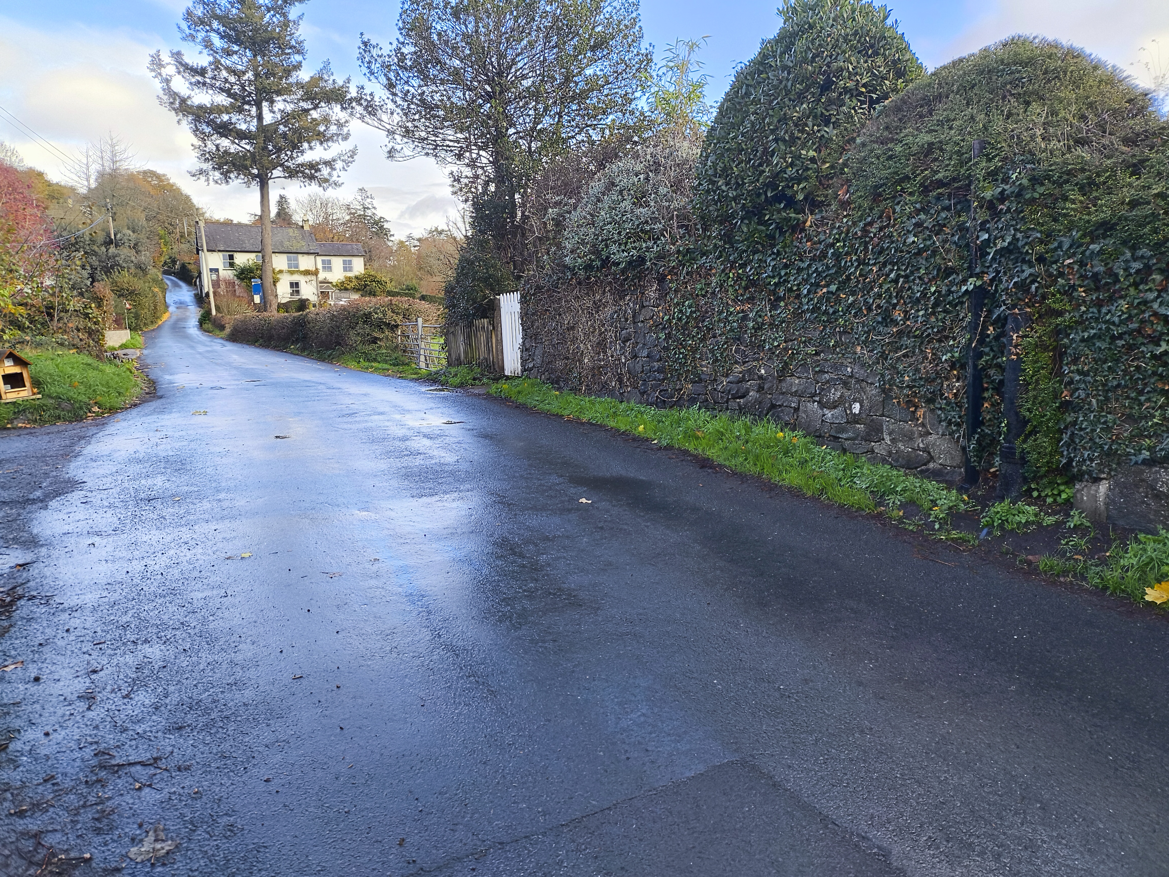
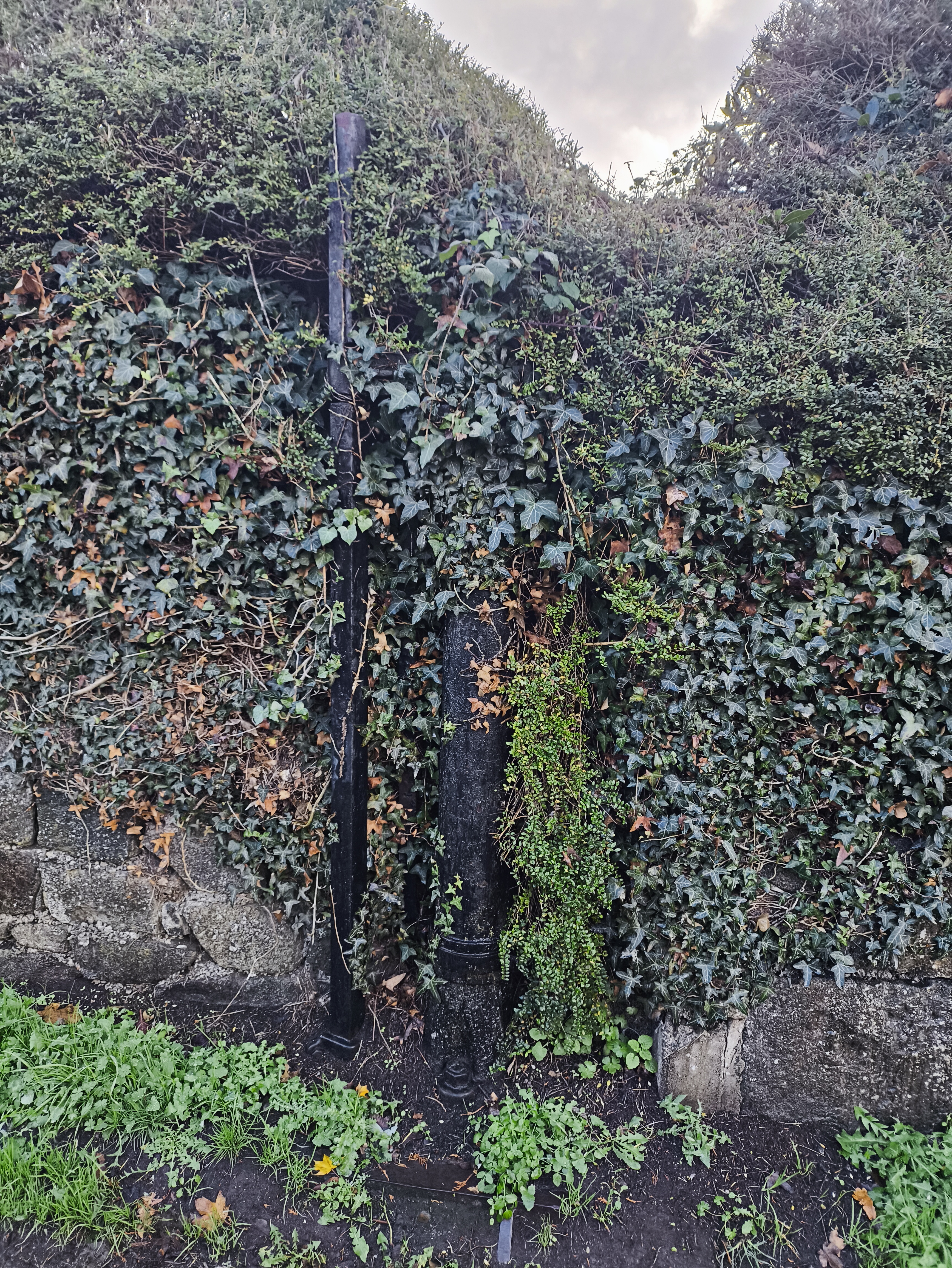
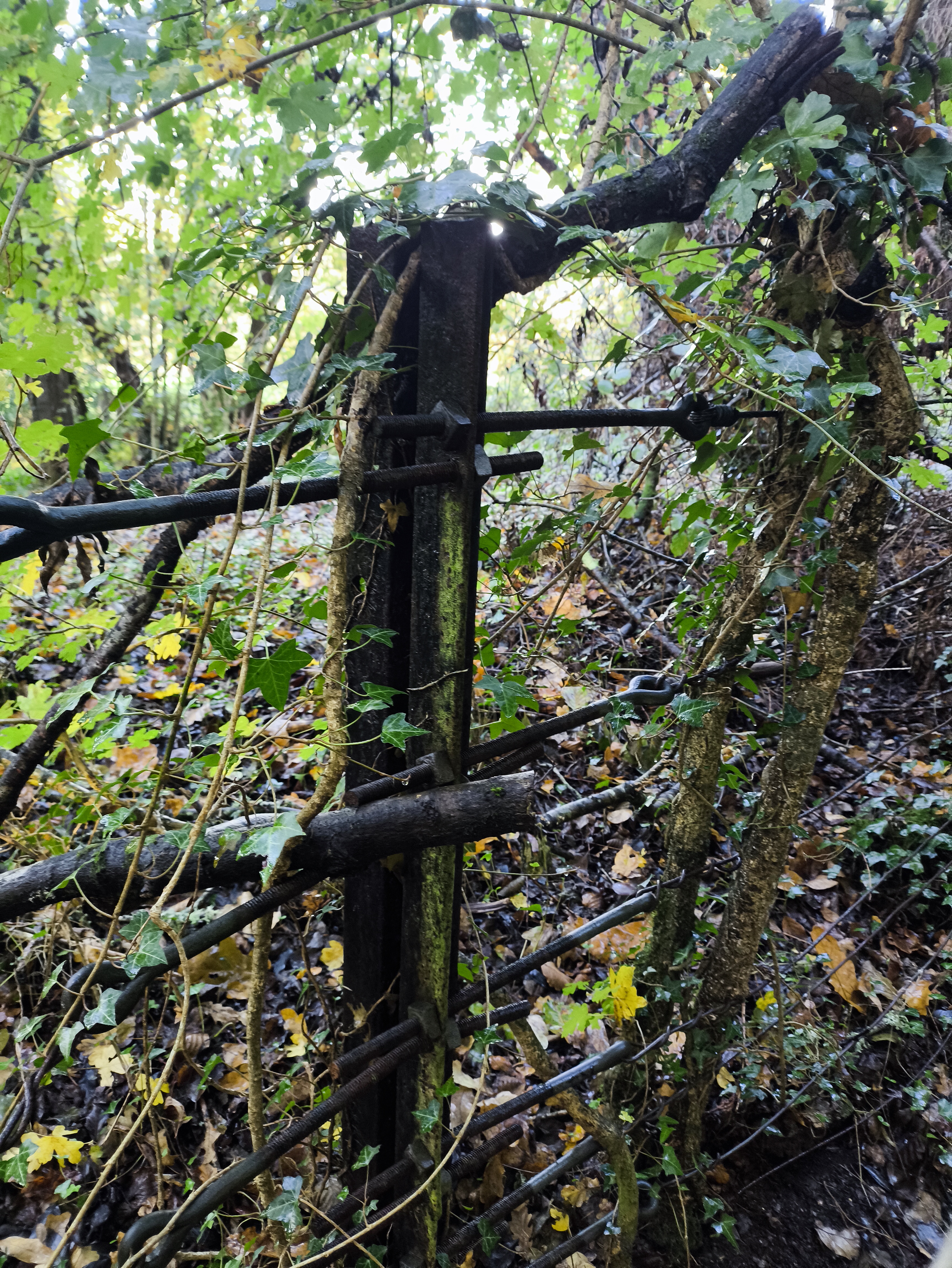
Gatepost on the right

Close up of the gatepost

Looking up valley alongside the old trackbed, now a private driveway

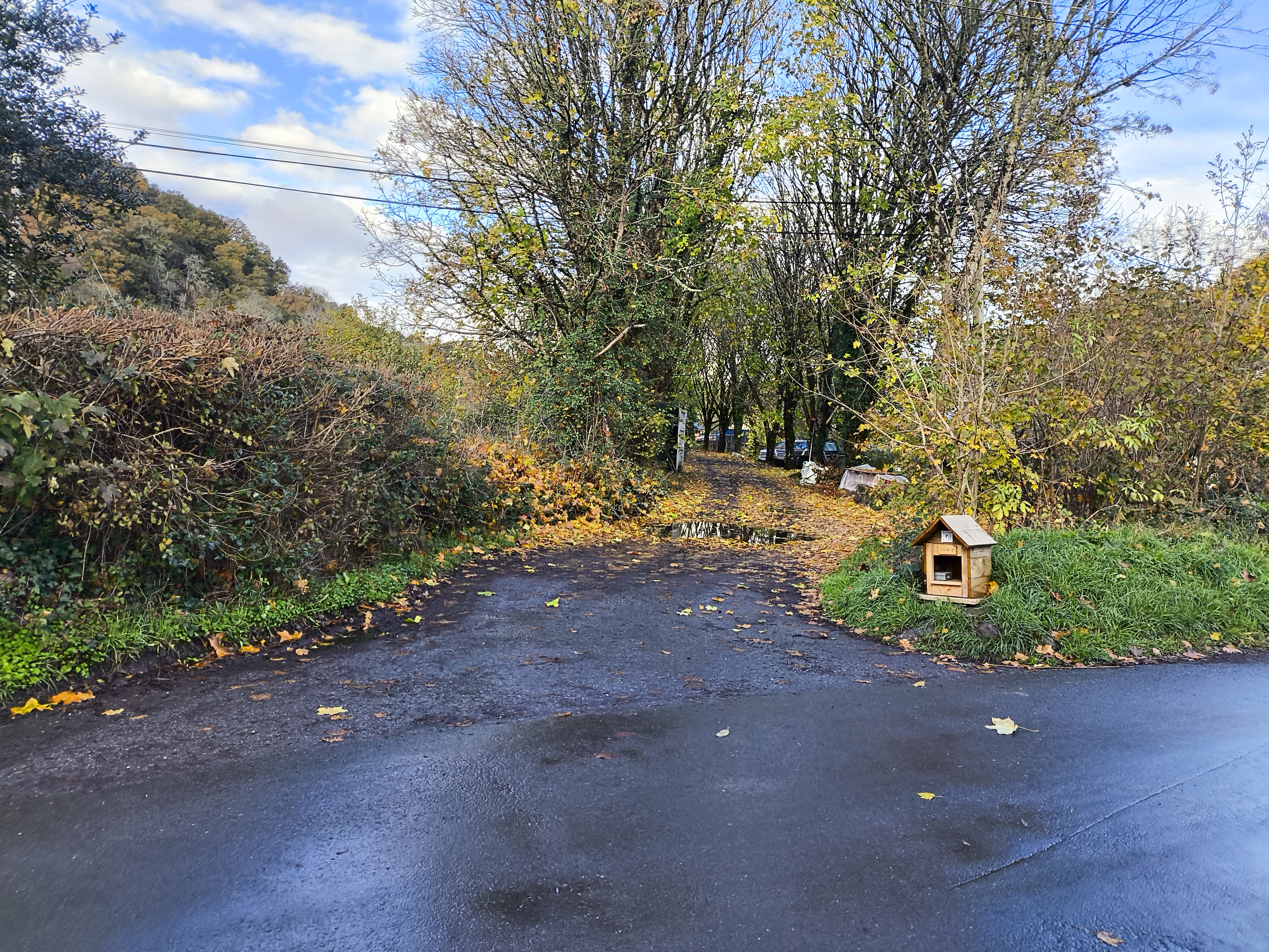
When ready, follow the small lane behind the parking area to the South

The start of the lane

We soon cross over a culvert which carries the France Brook, draining the Ashton valleys to the East.
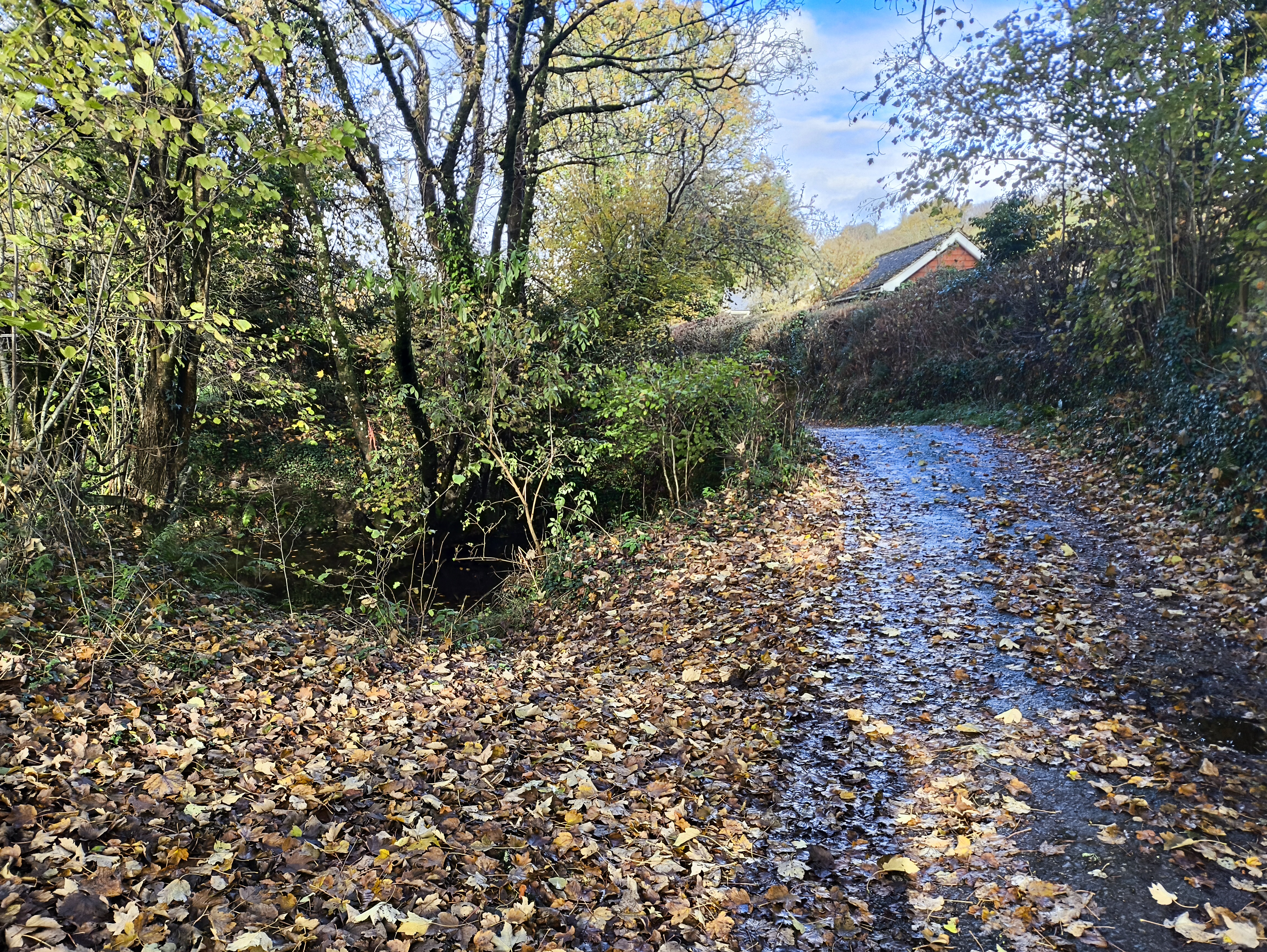
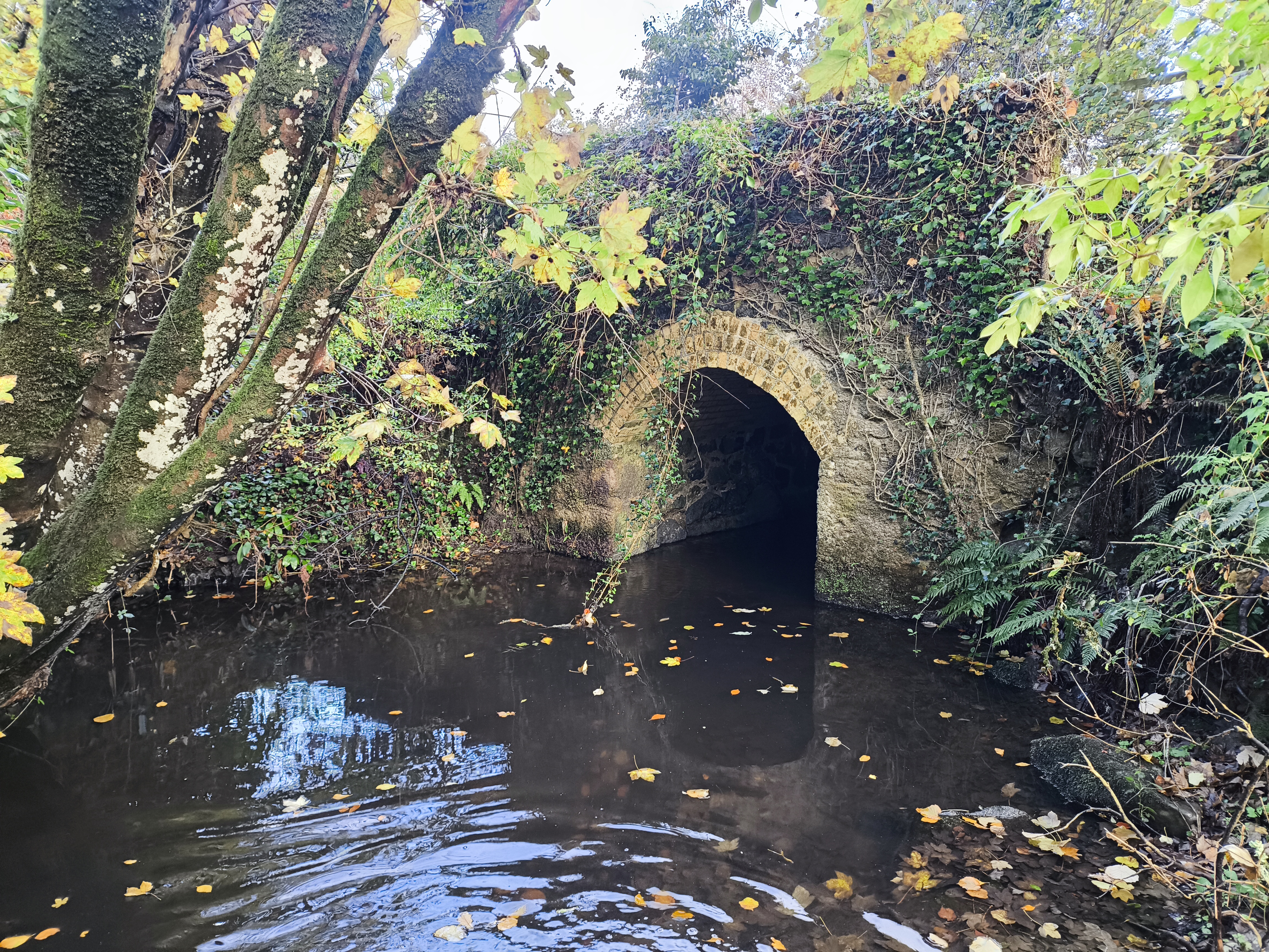
We soon cross over a small culvert

Fine brickwork

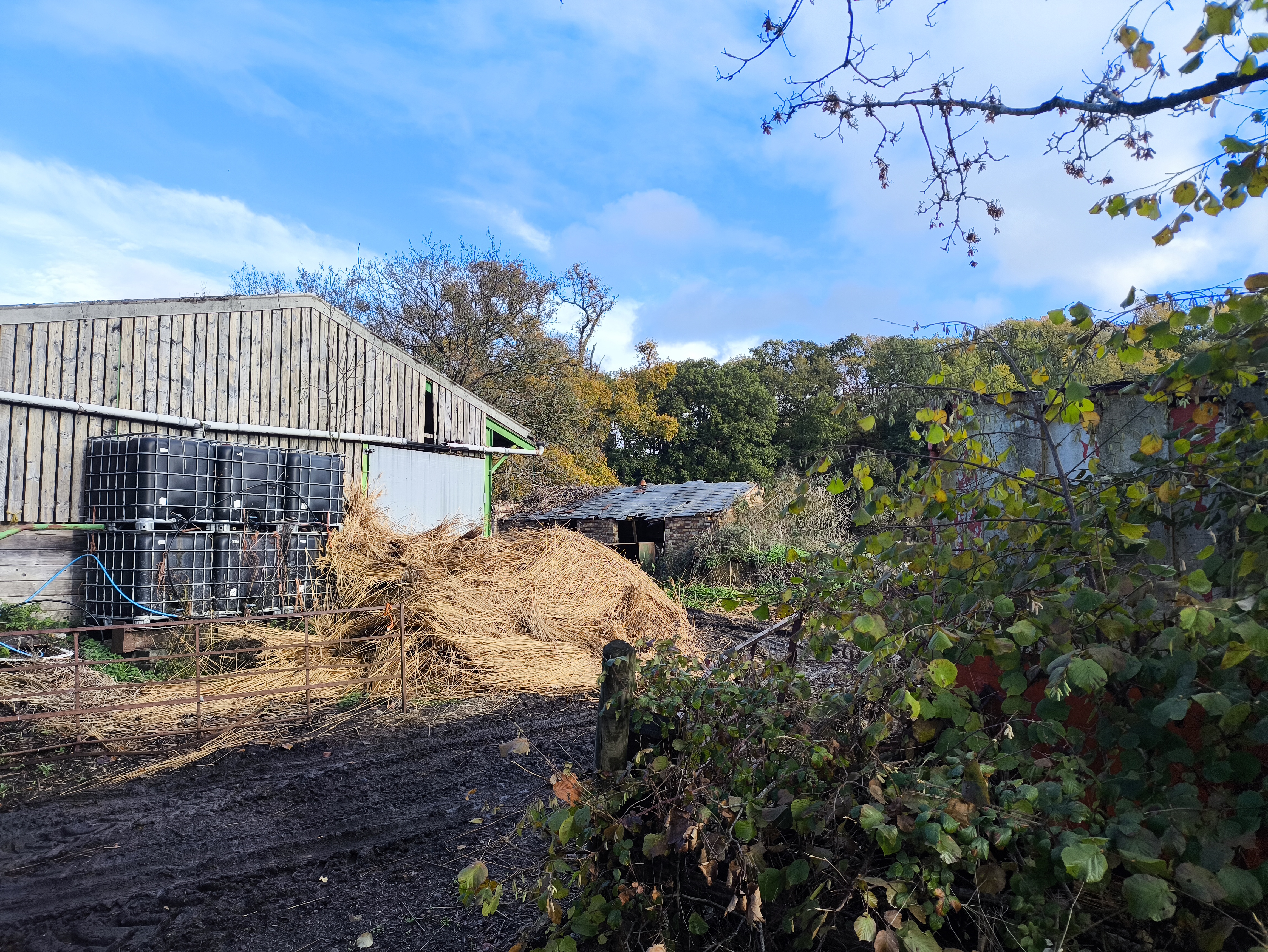
Almost immediately, we’ll pass some old lorry trailers on the left. This marks a long section of what was originally the Lower Ashton Station Yard. There are some remnants visible from the road.

Ashton Station

Ashton Railway Station was opened on 9th October, 1882 as the northern terminus of the Teign Valley Railway. Shortly afterwards in 1883 it became a “through station” when the line was extended to Christow.

The station had a timber platform and a raised causeway for access when the Teign flooded.[3] An engine shed and signal box were located to the South of the station and the goods yard was equipped with a 2-ton crane.

The station closed on 9th June, 1958
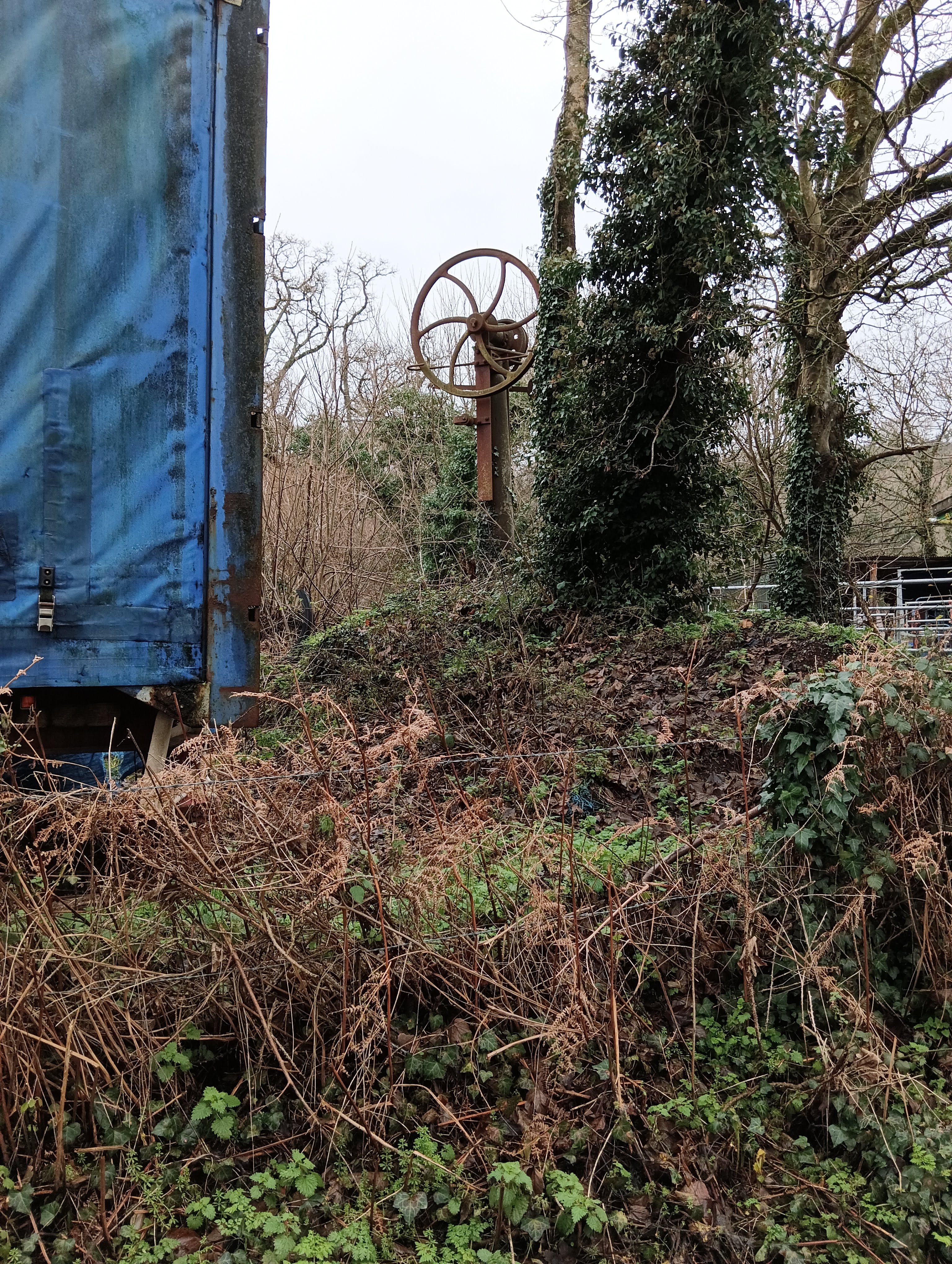
The “2 ton lifting crane” - 2023

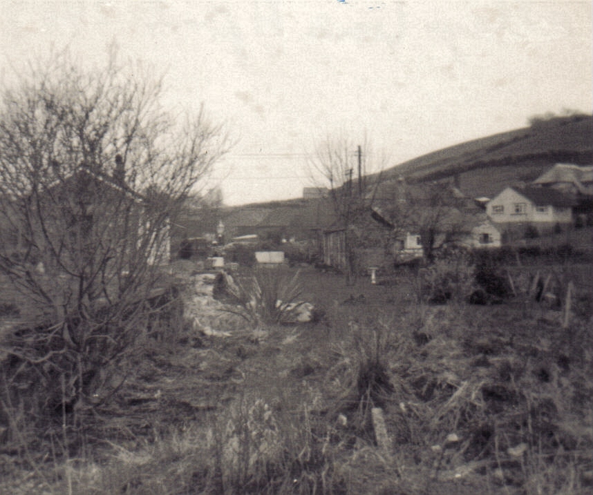
The station yard in 1970, 12 years after closure

The stone building on the right is still visible in 2026

The Lane

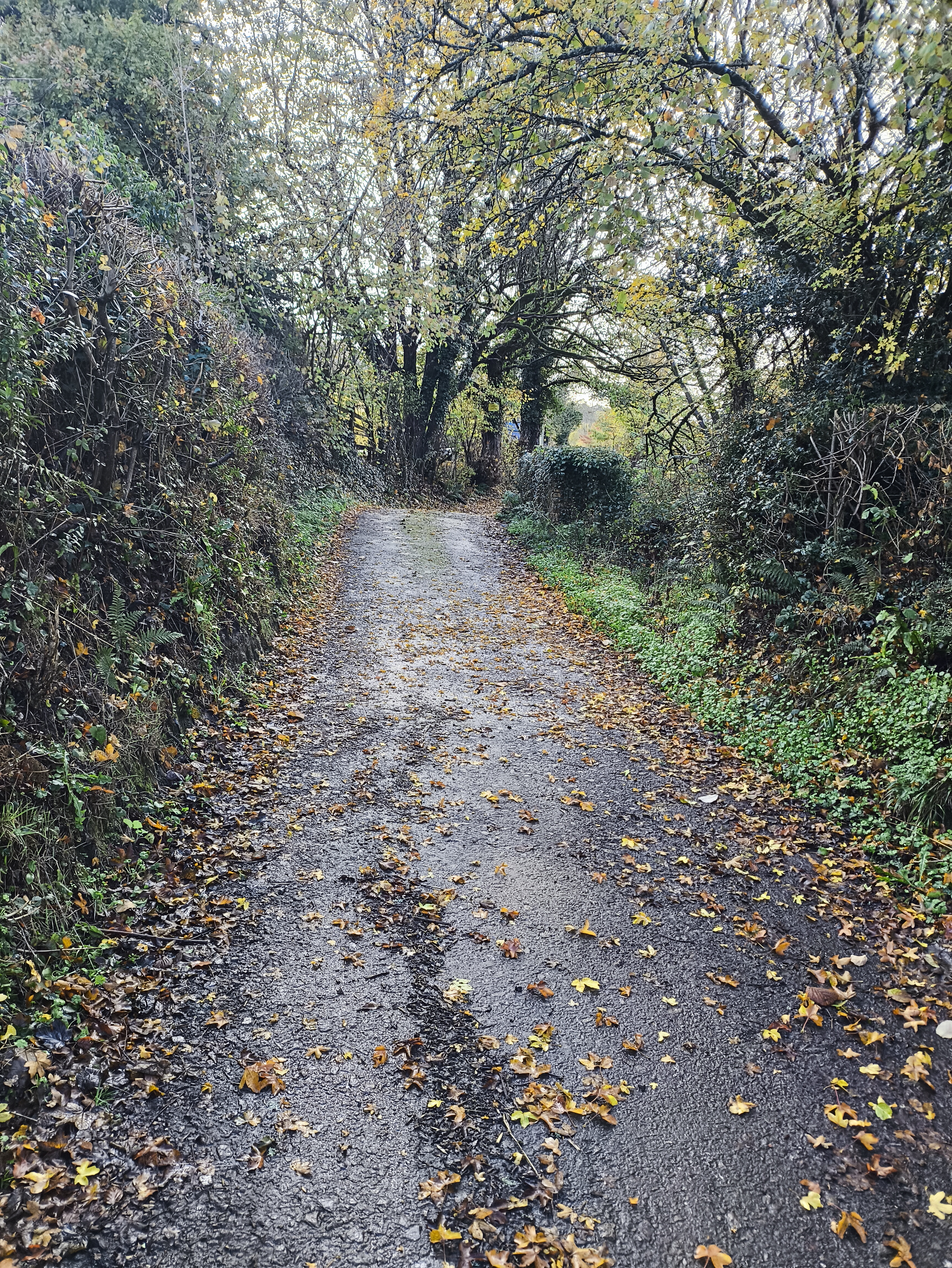
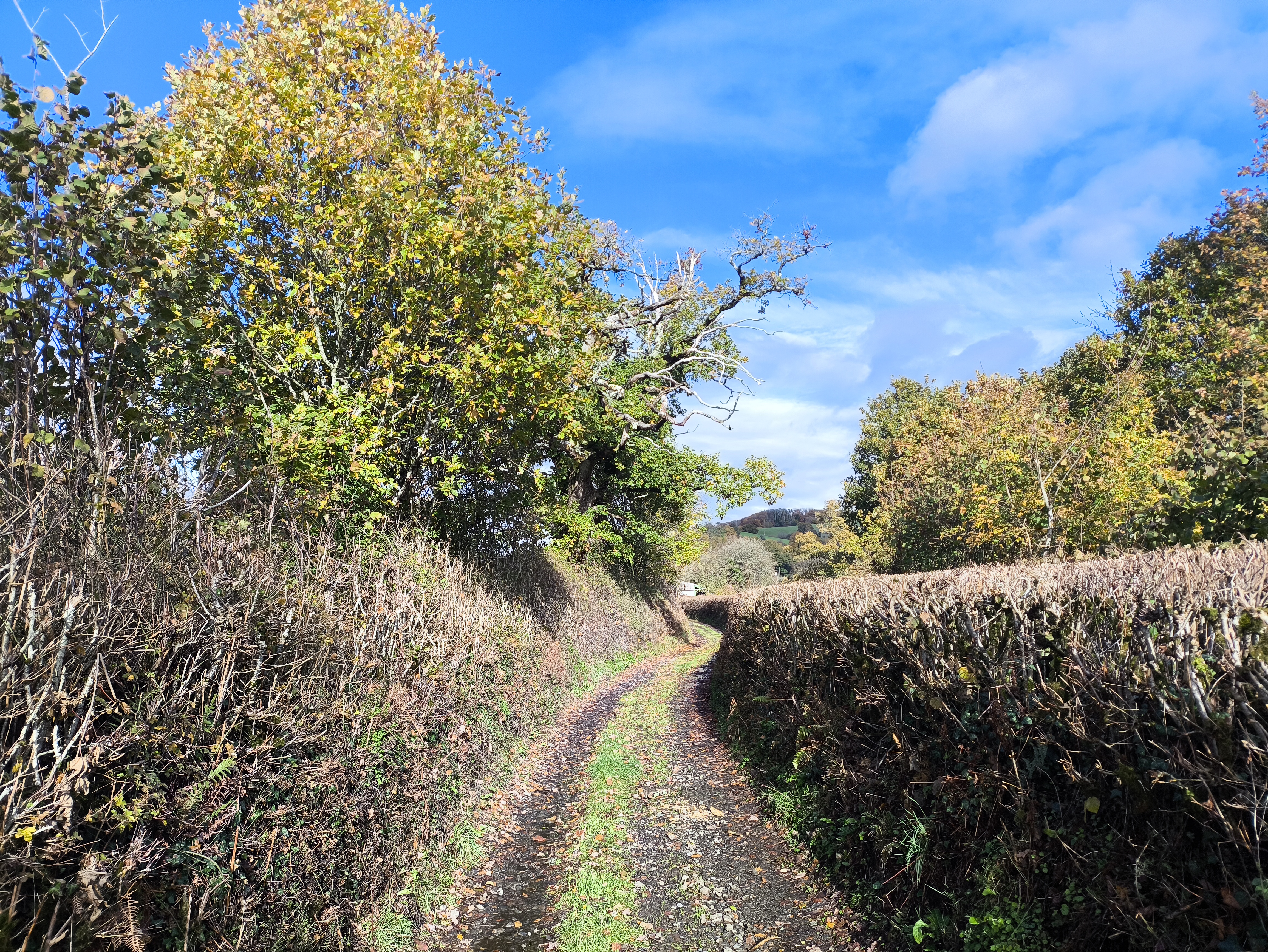
Continue down the lane until you face a gate, then turn to the right towards the river and follow the old path

Follow the lane for about 300m after the bridge

Looking down the  old railbed towards the station

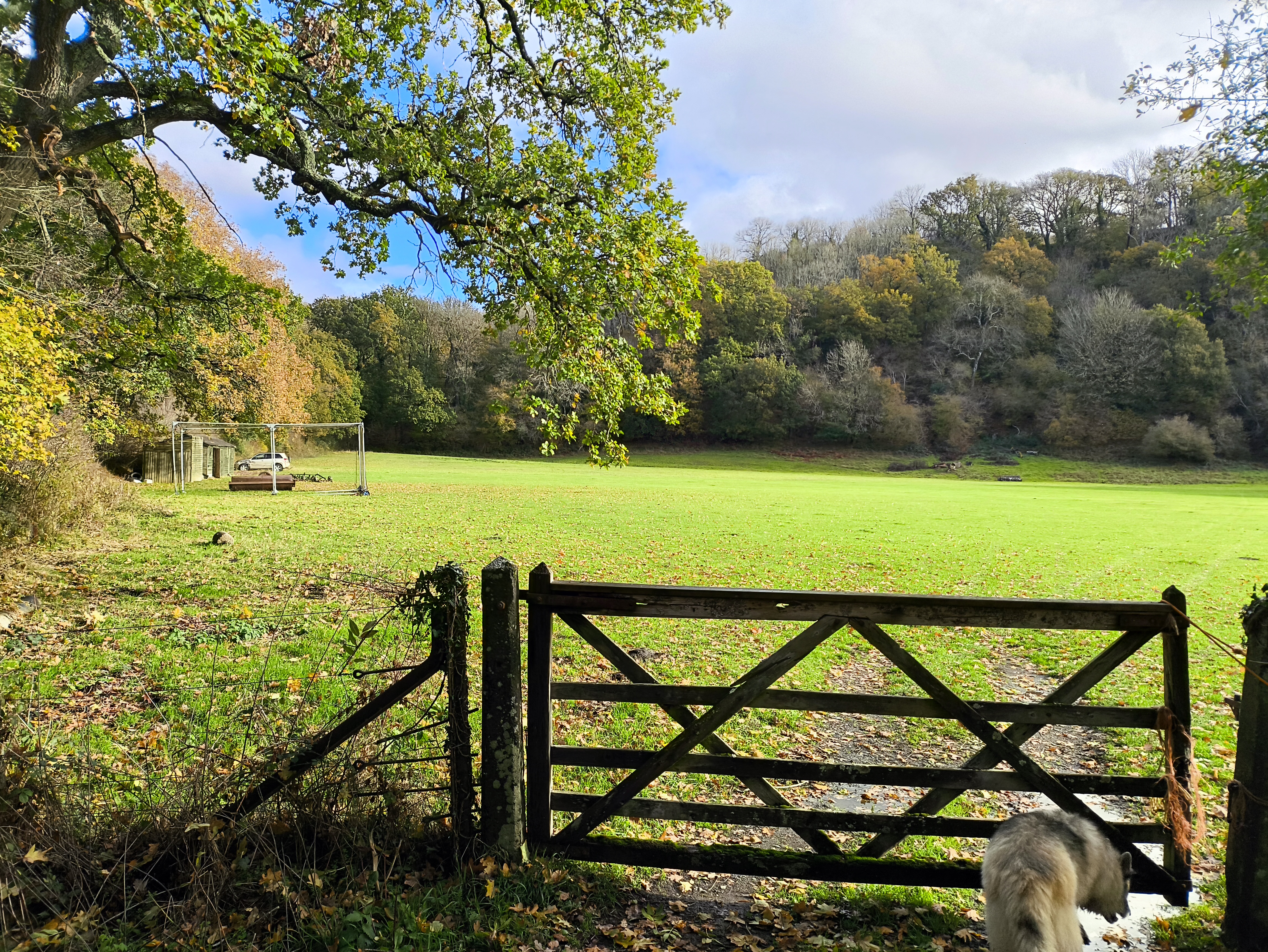
Dunsford Cricket Club is just beyond the old railbed at the end of the tarmac lane

The River

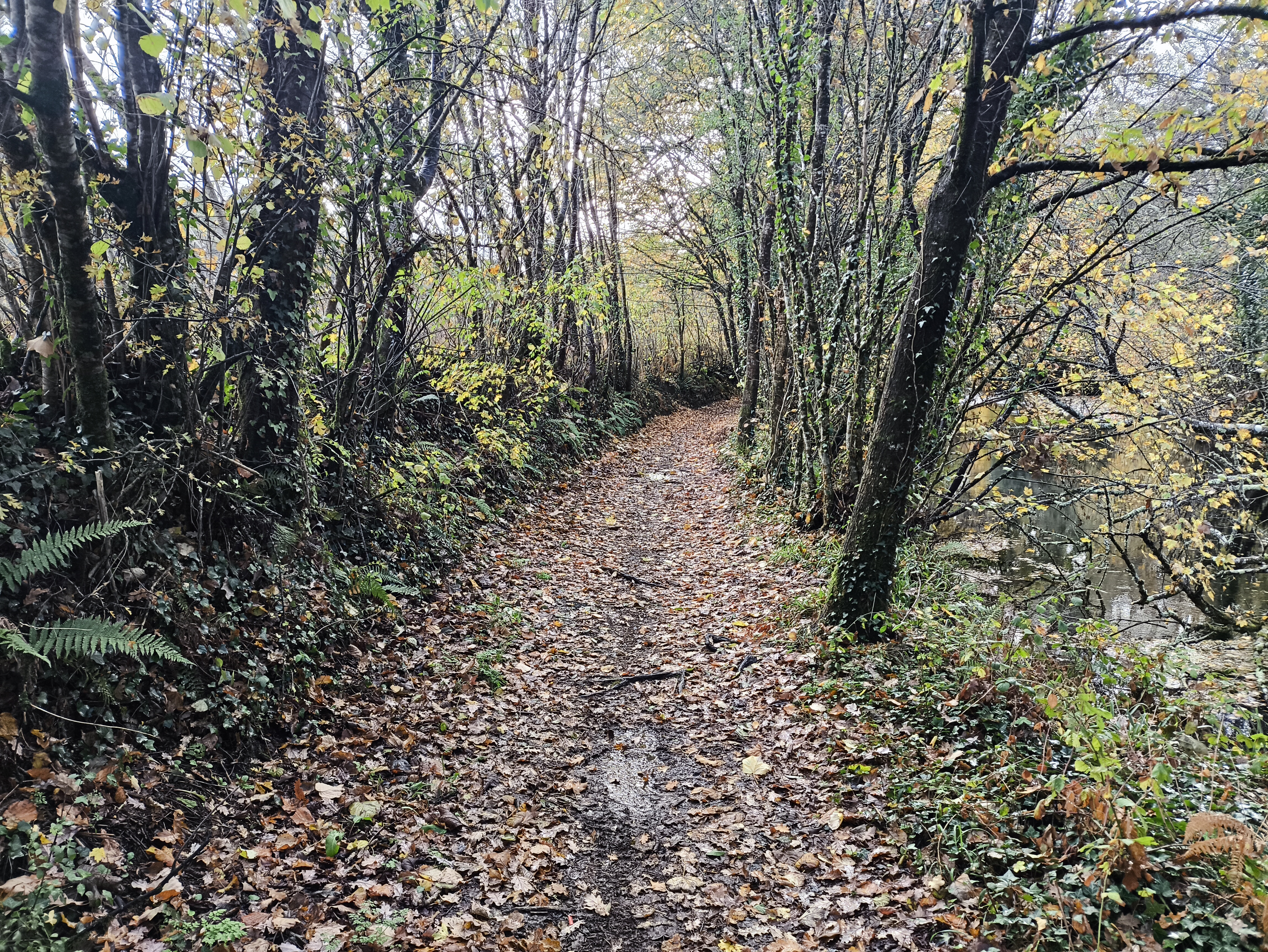
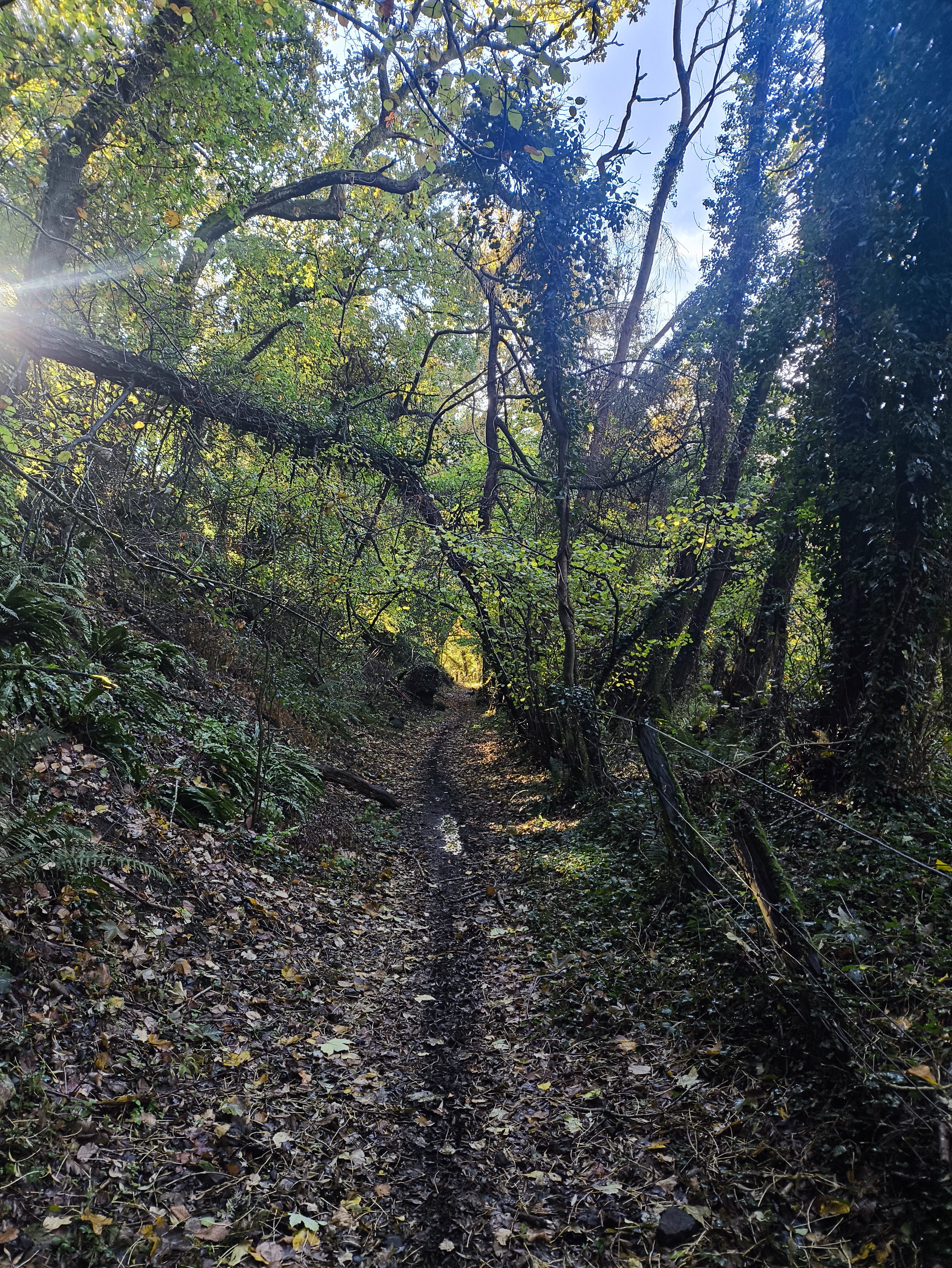
After leaving the tarmac lane, walk downstream by the River Teign on the old stoned track

The old track by the Teign

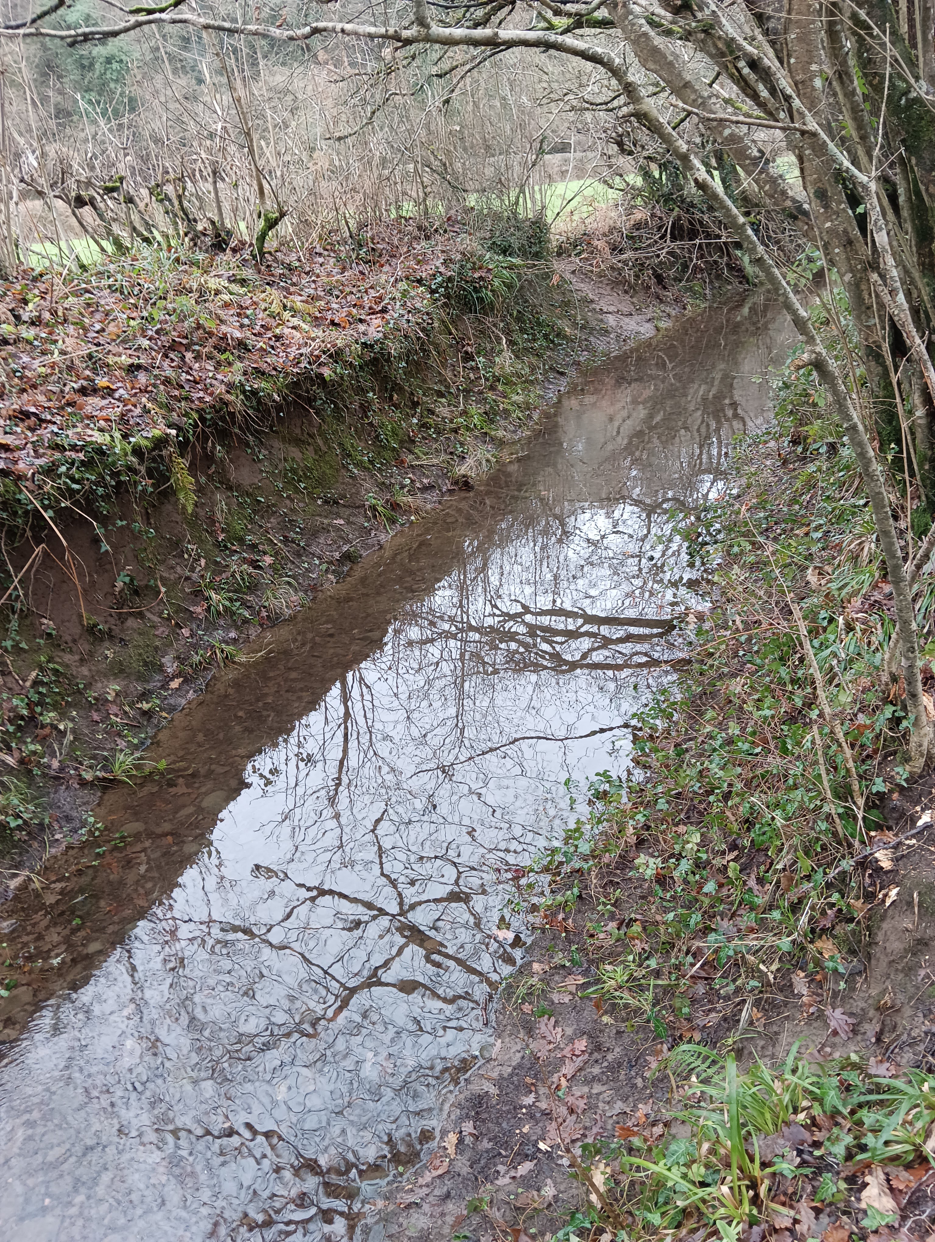
Sometimes it’s hard to tell the track from the river!

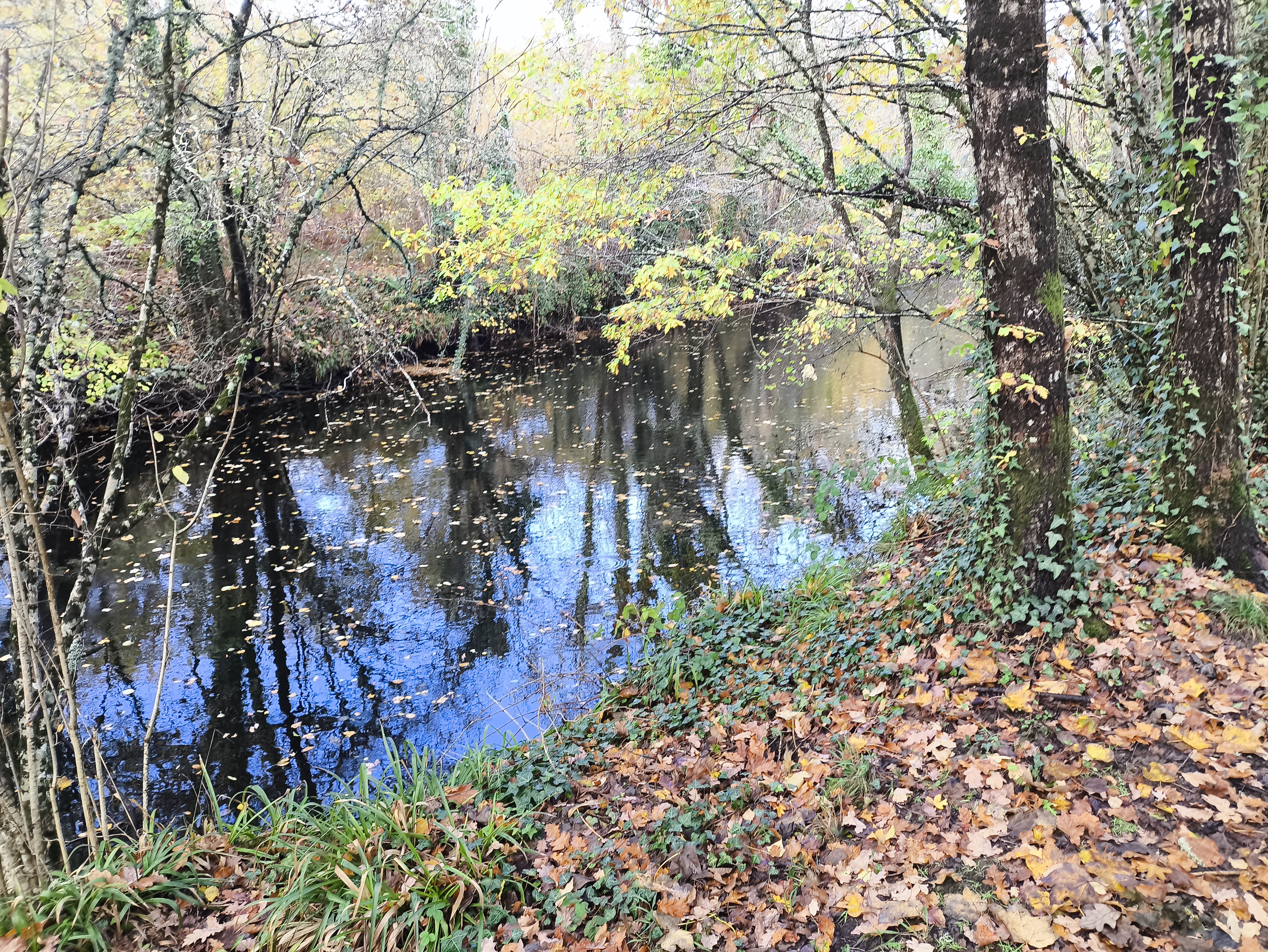
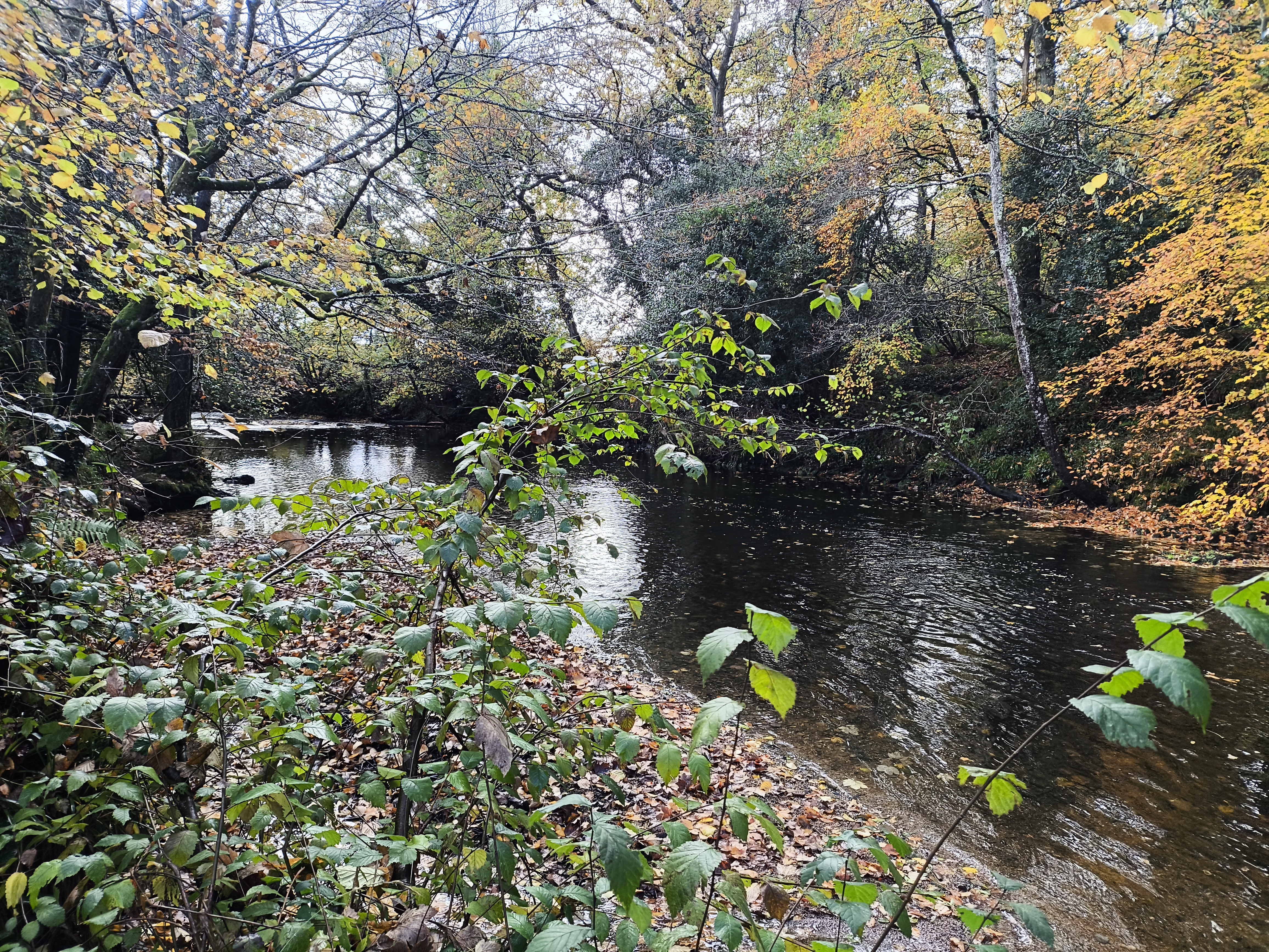
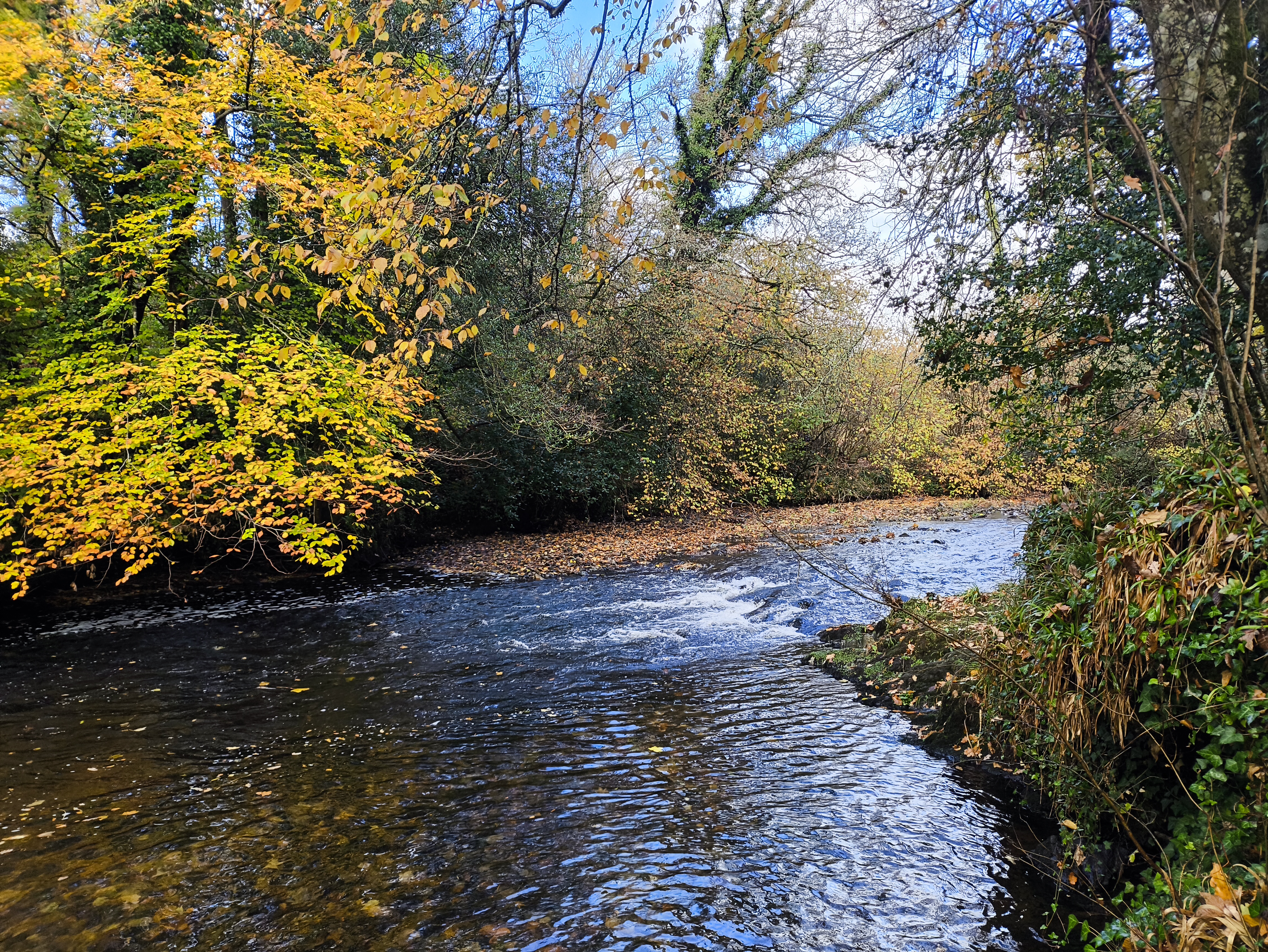
The River Teign

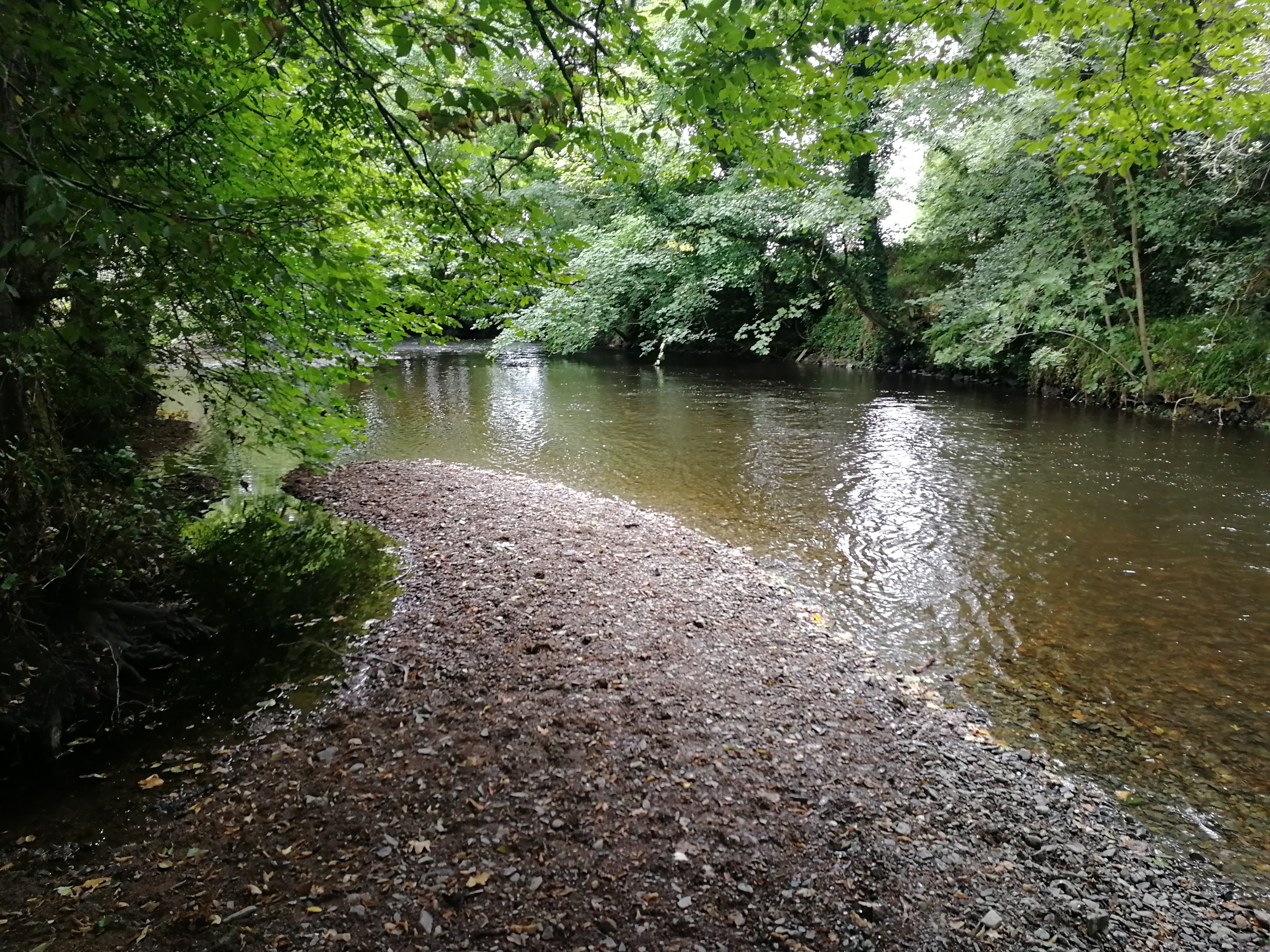
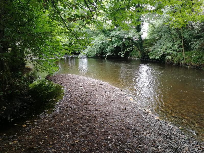
Looking down on the beach

A small beach, ideal for paddling from

A few hours after some heavy rain

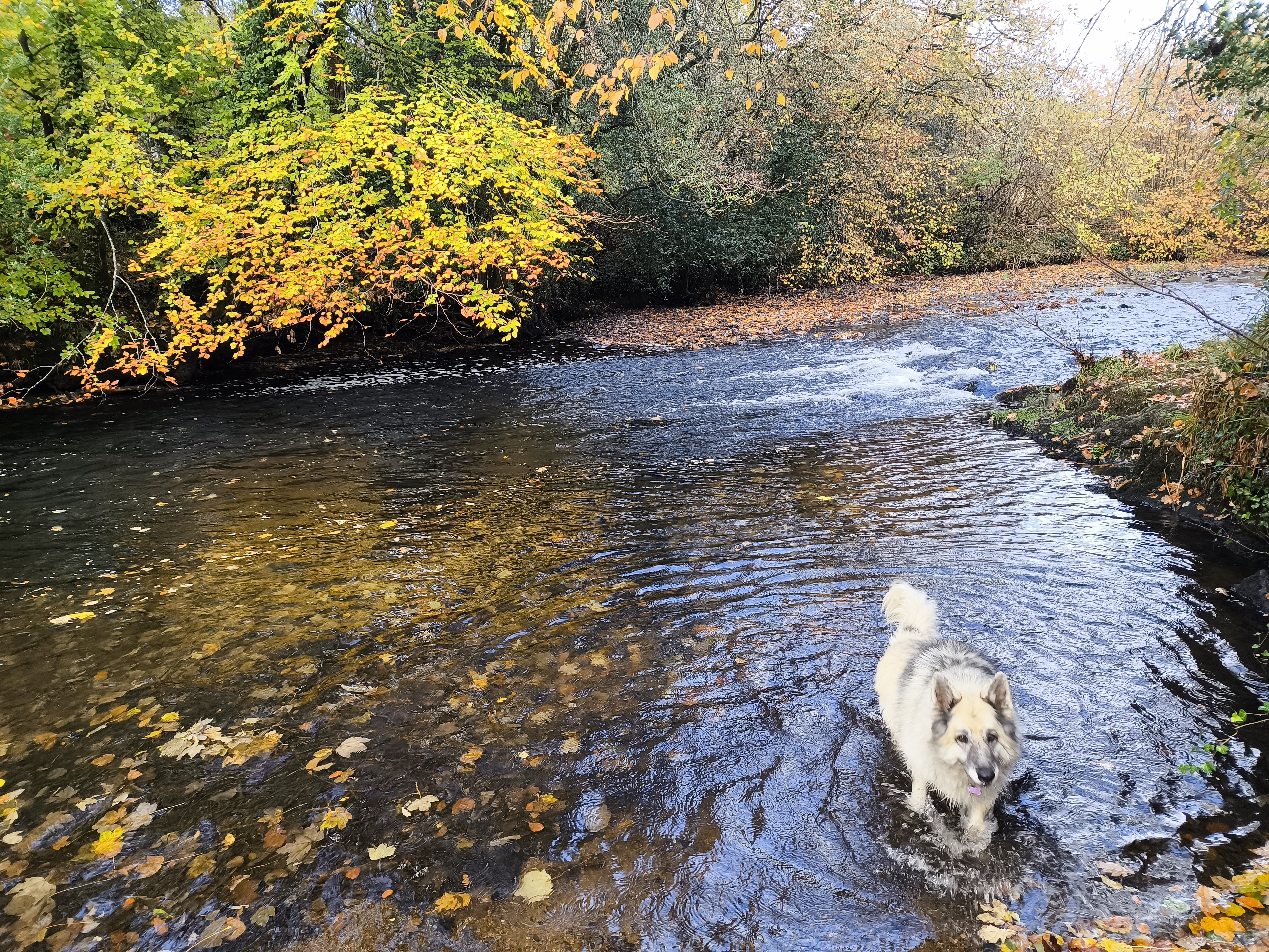
Paddling approved

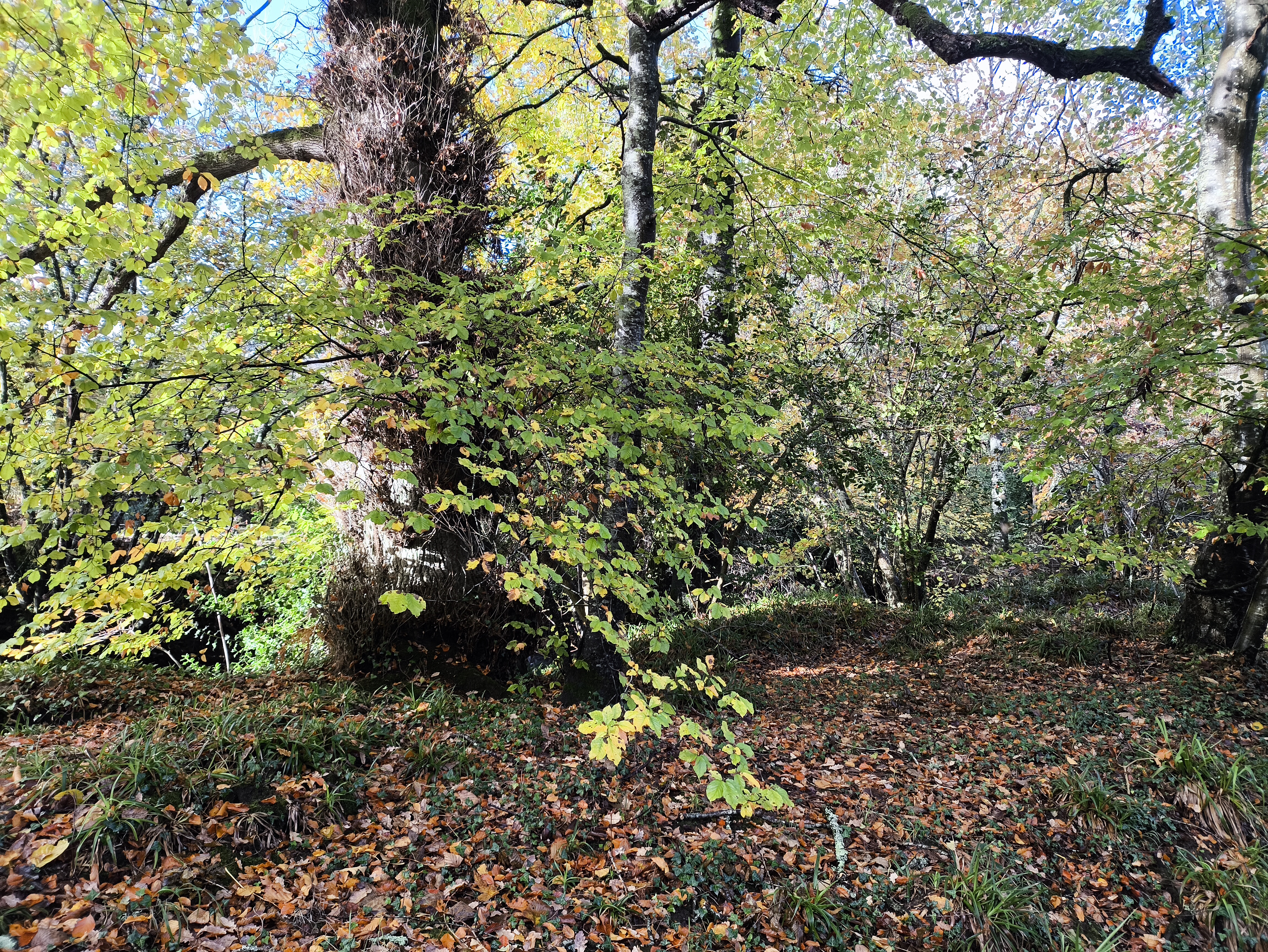
Oak, Beech and Hazel amongst others

Should you find any golf balls, do not be surprised! Teign Valley Golf Club is just over the river and it’s fairly common to find such strays along here.

Crossing Over
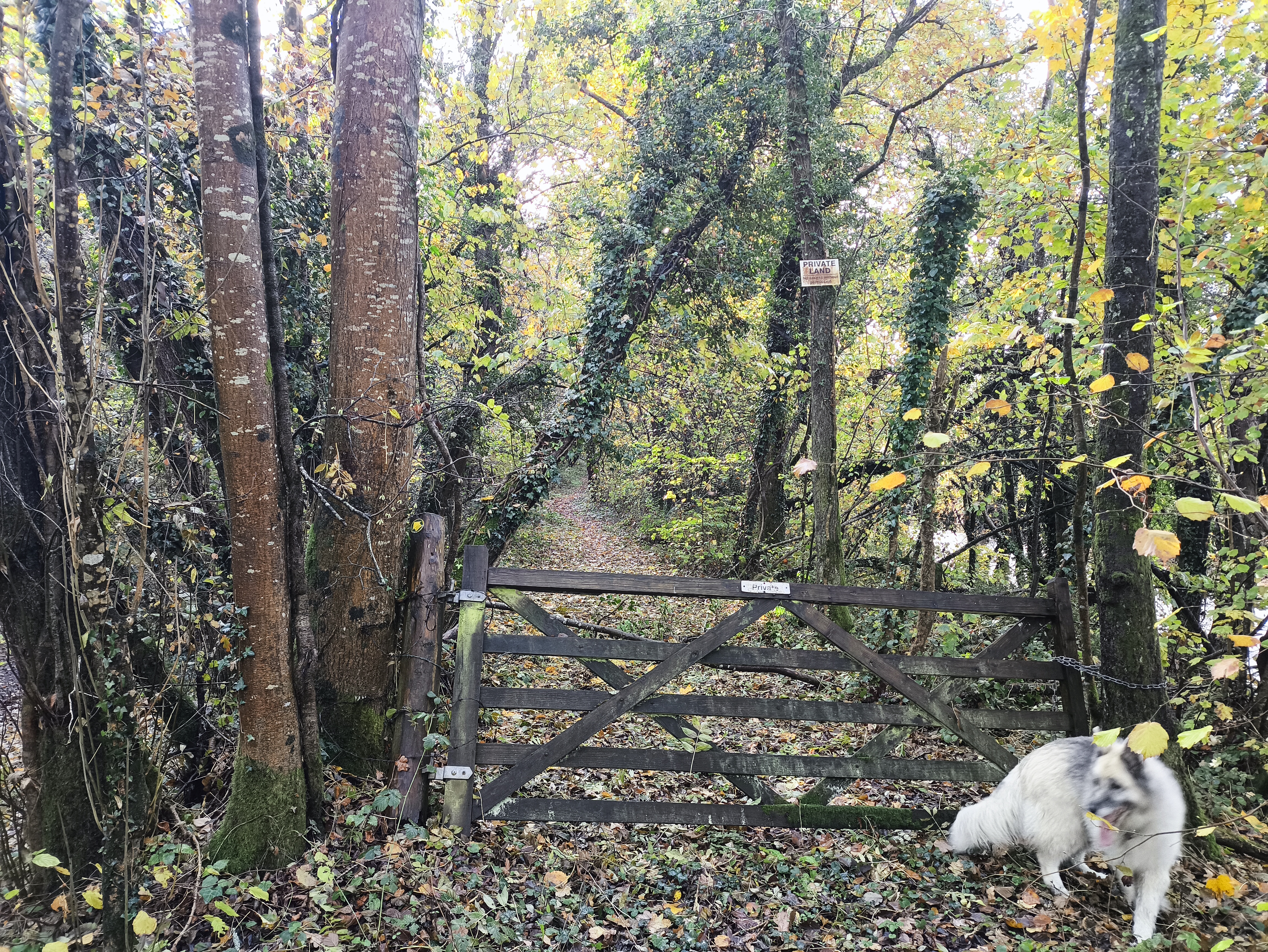
Some 300m after the lane, the track turns away from the Teign and rises up a couple of meters as we cross over the railway trackbed. Keep following the signed footpath.

The original trackbed

Facing the other way. A very thorough job was done removing the trackbed and reinstating this field

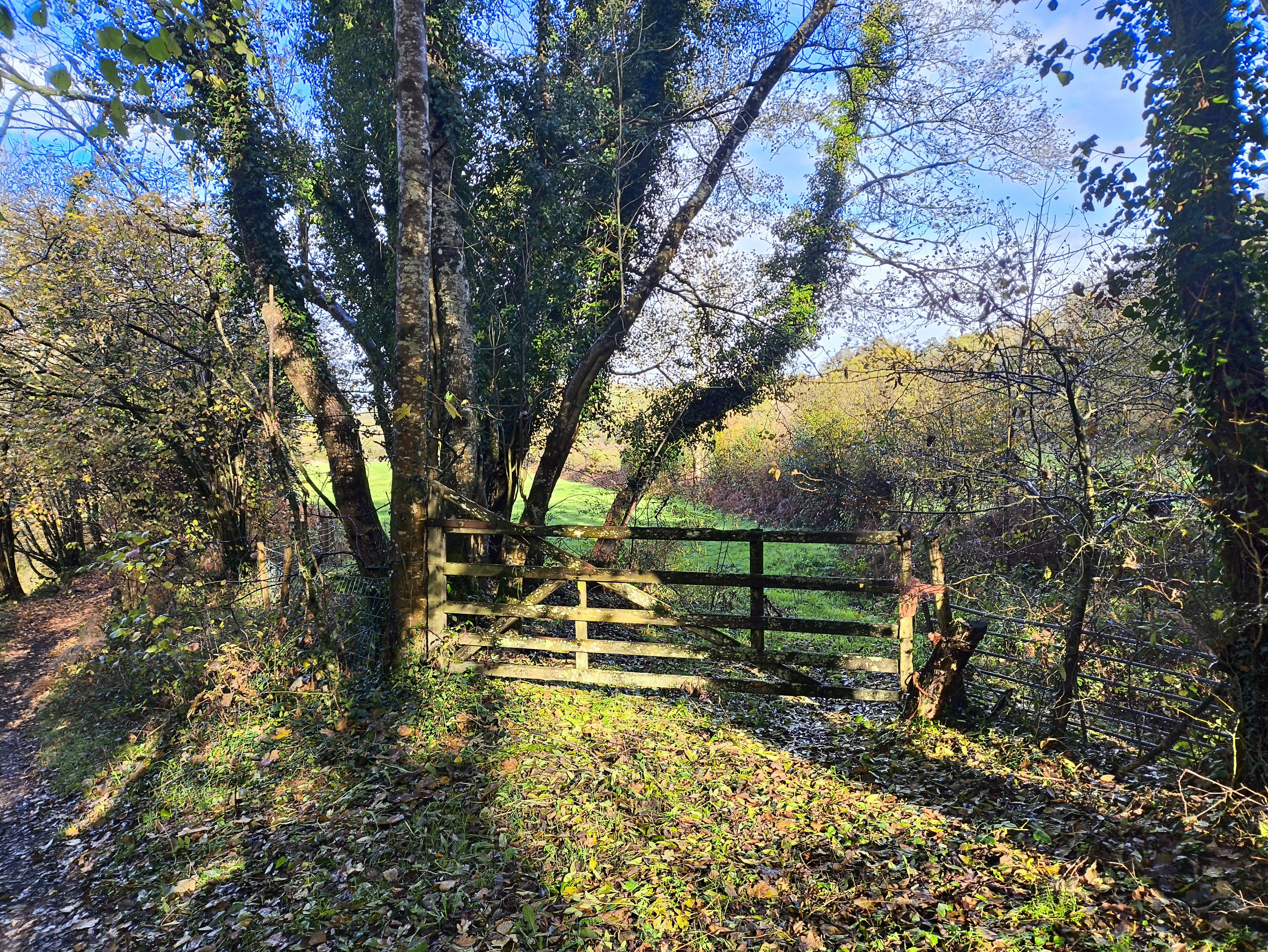
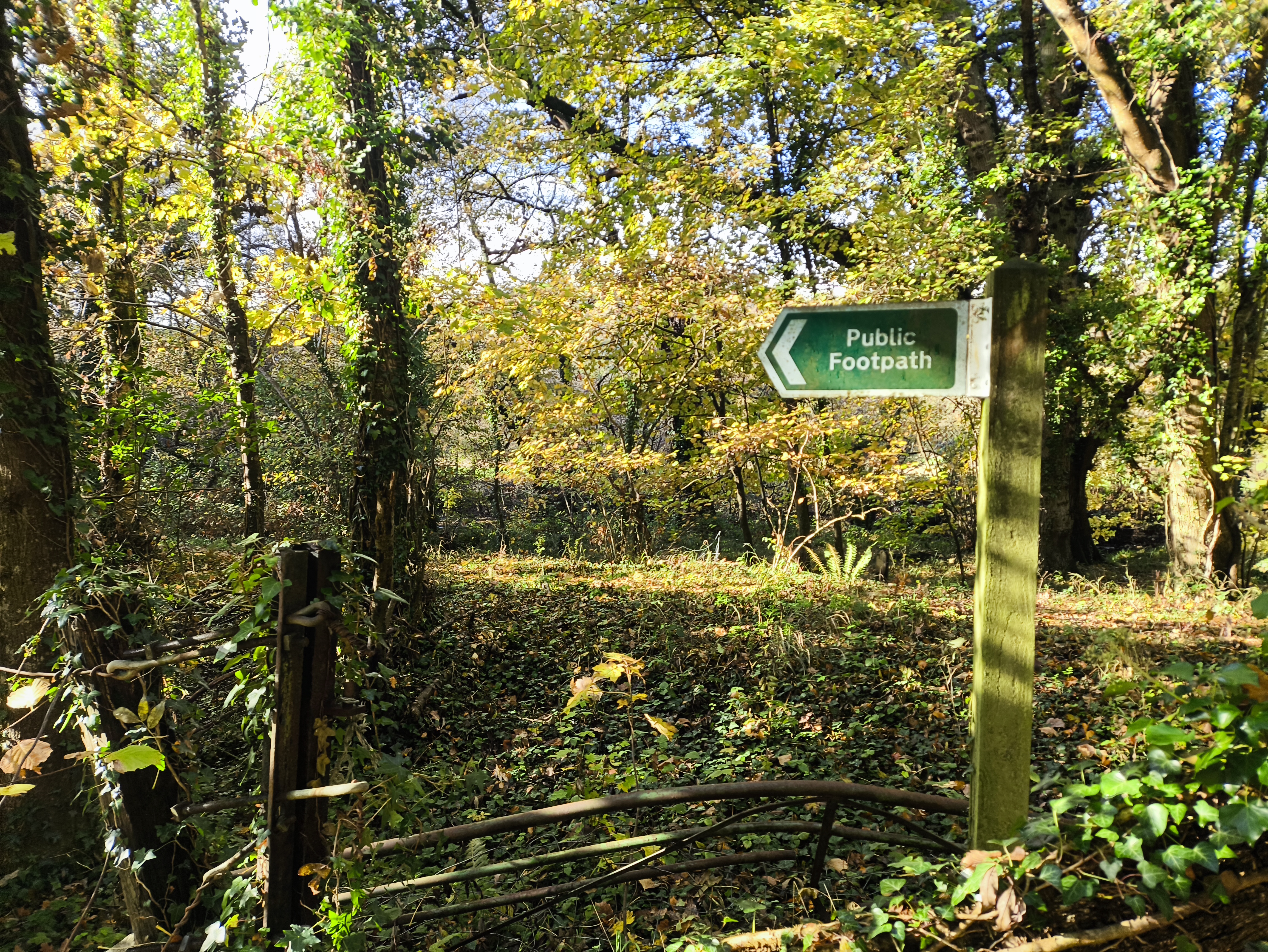
There are gateposts either side of the crossing, showing this track was once controlled and means the track was far more popular than it is now

Woods

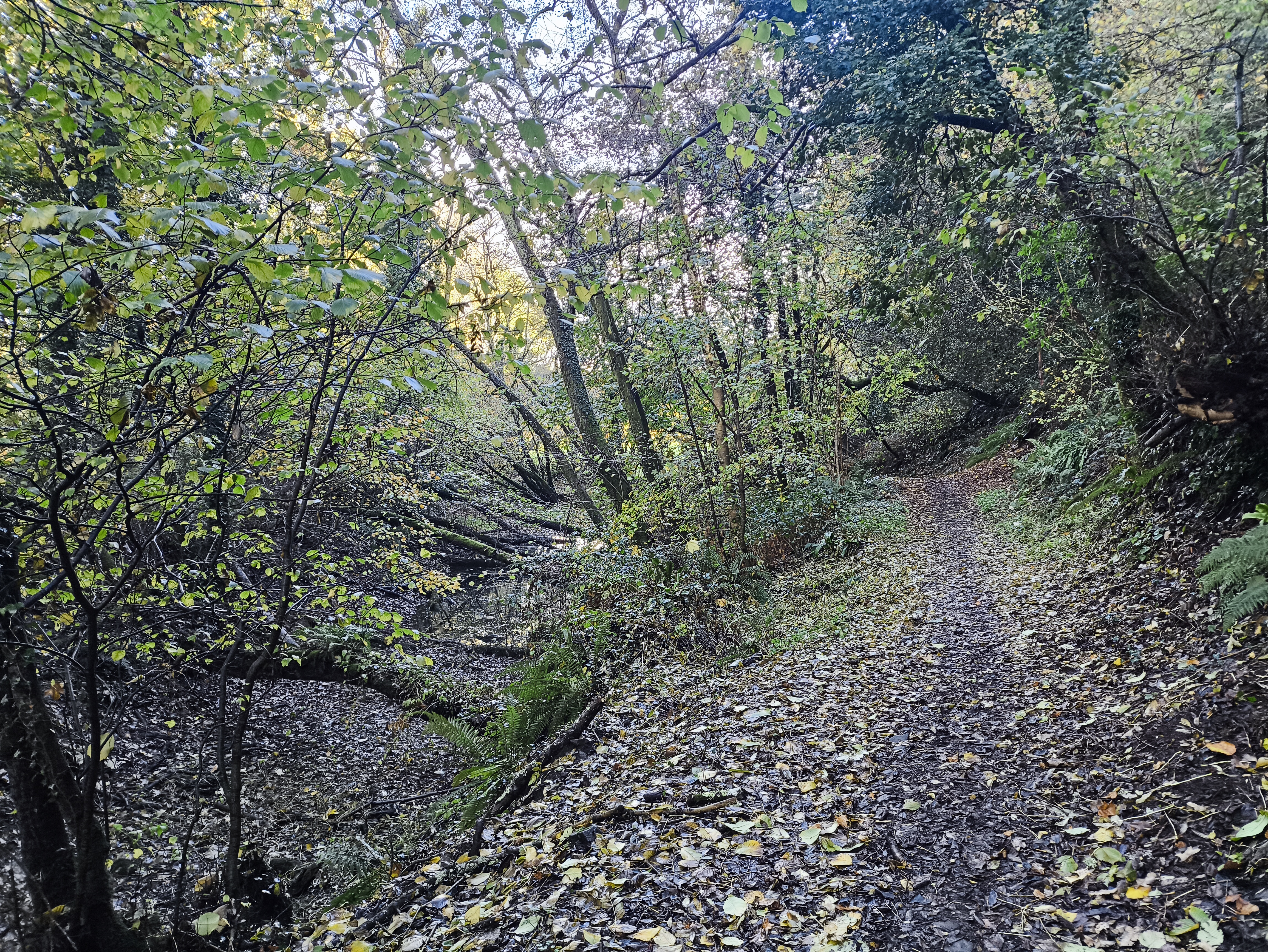
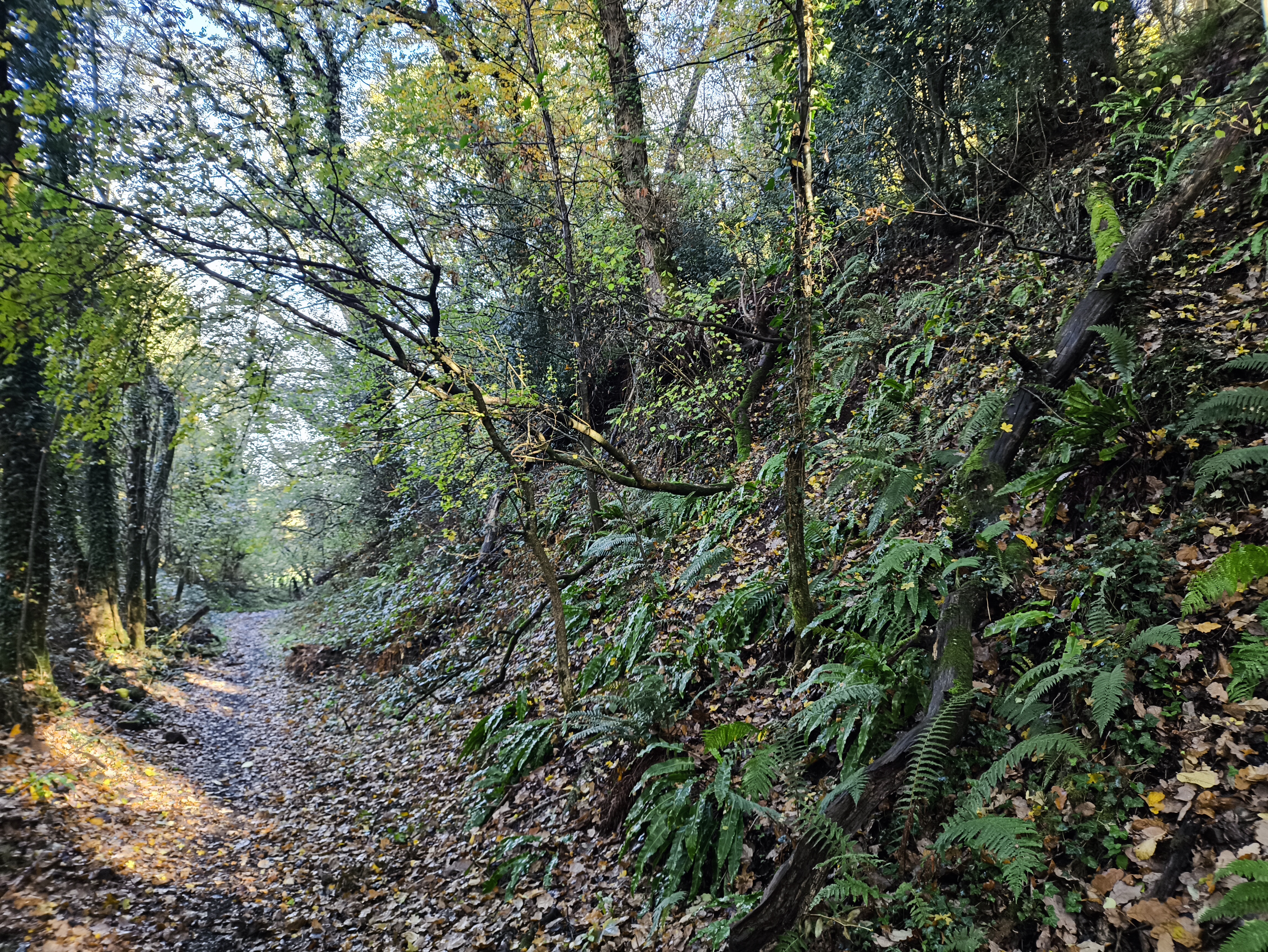
For the next 300m, we walk with steep woodland on our left and the old railbed on our right.

Track past a bog created when the trackbed was built

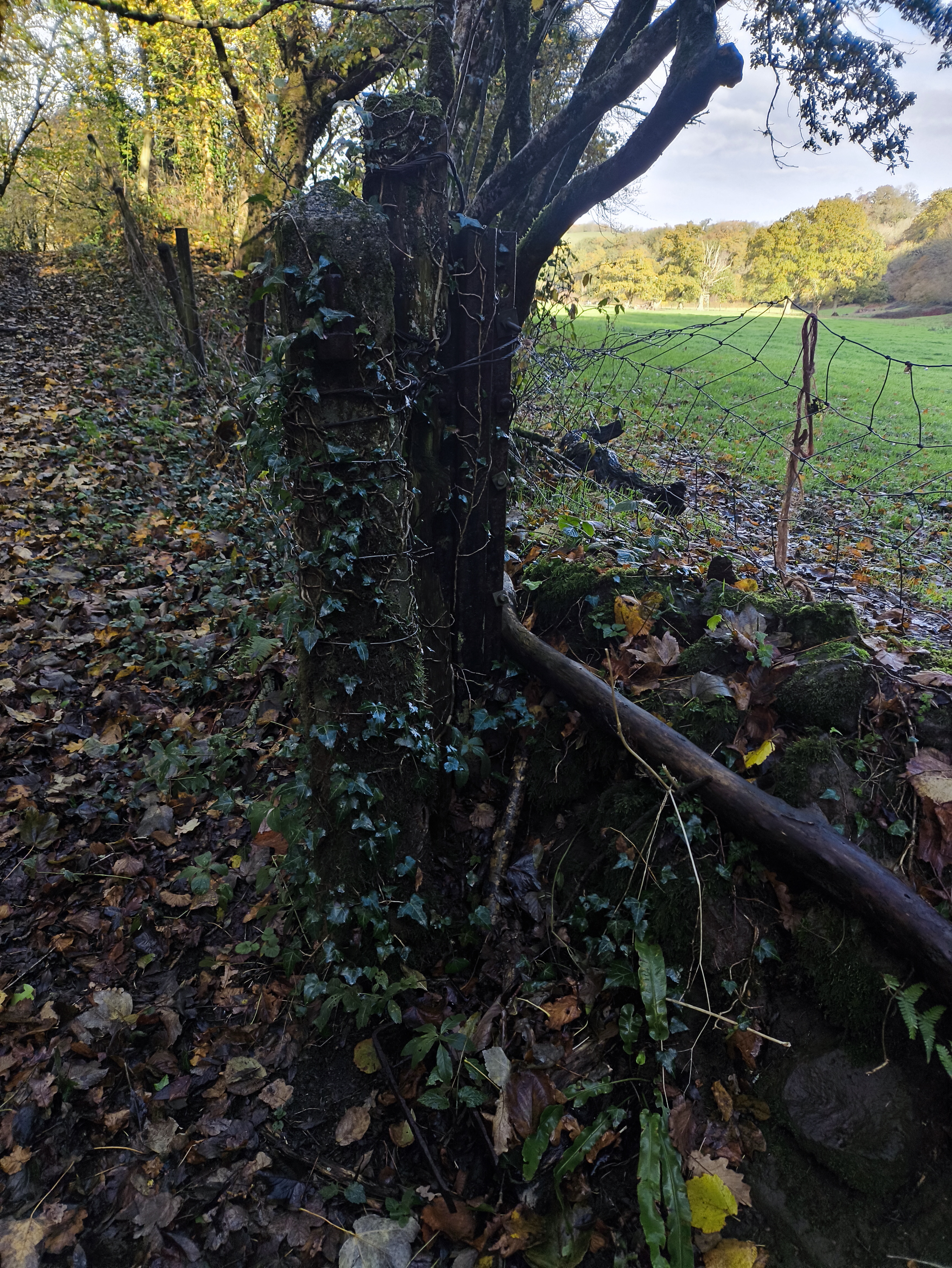
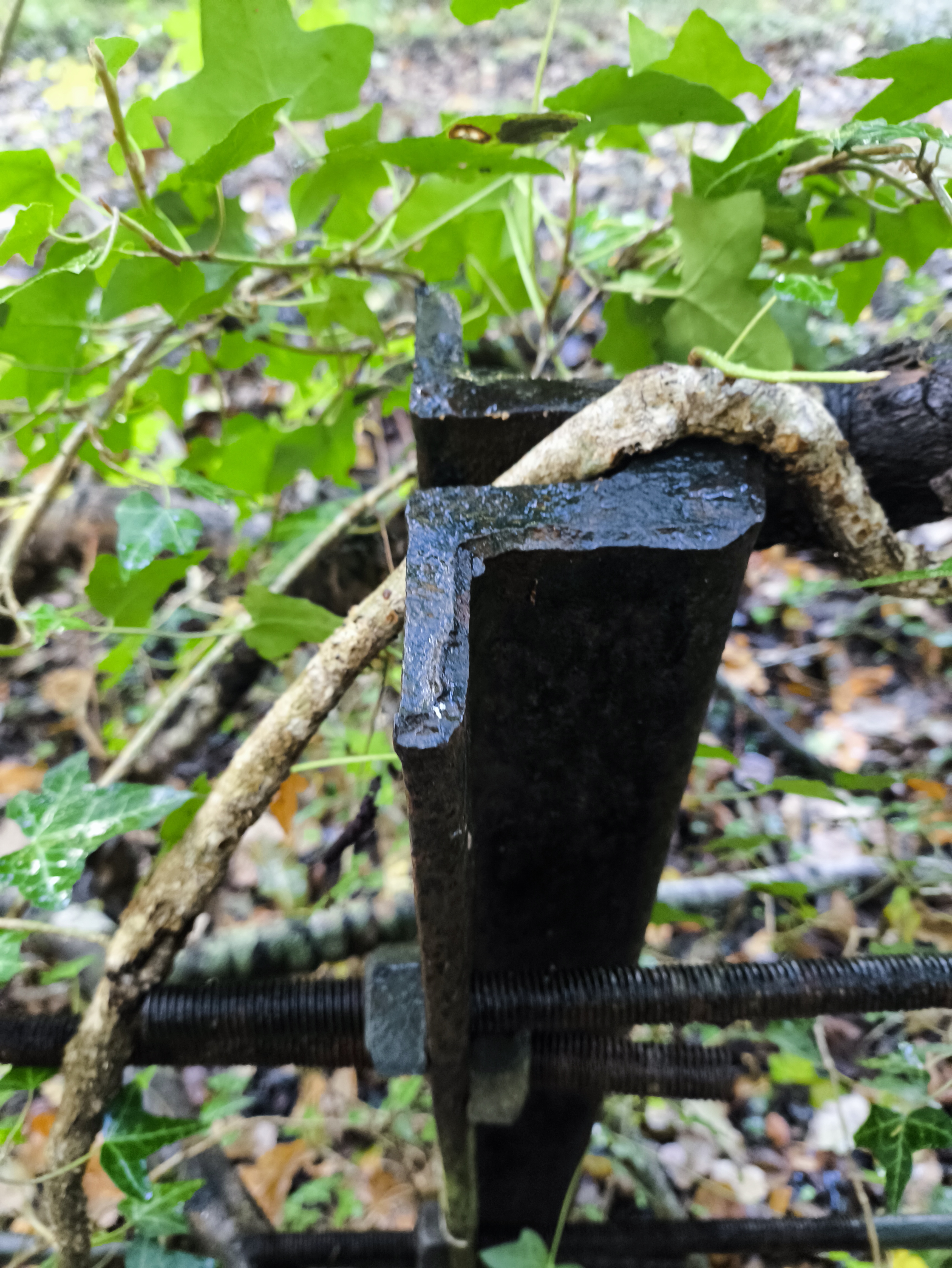
Some of the fence posts seems to be narrow-gauge rails?

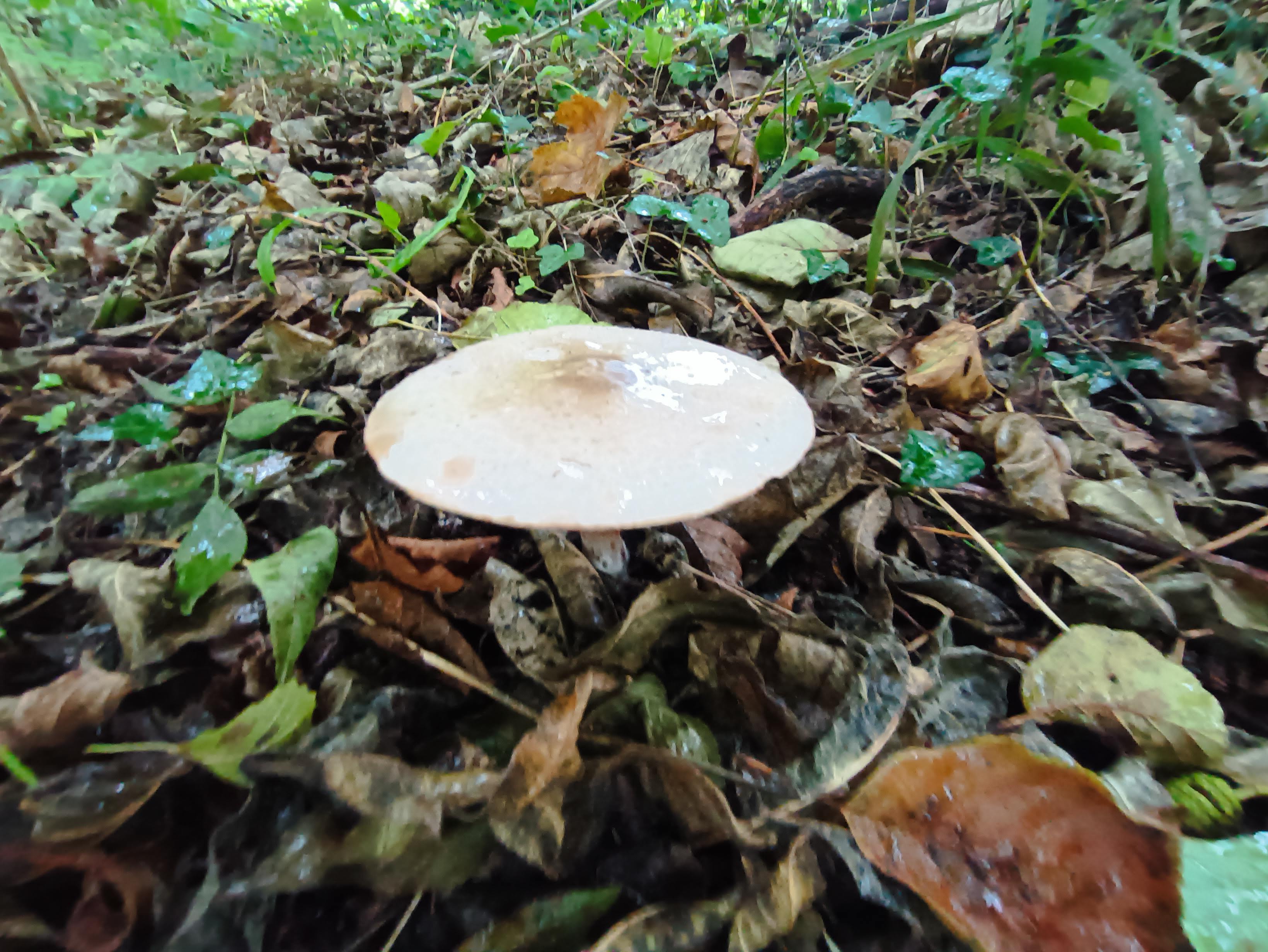
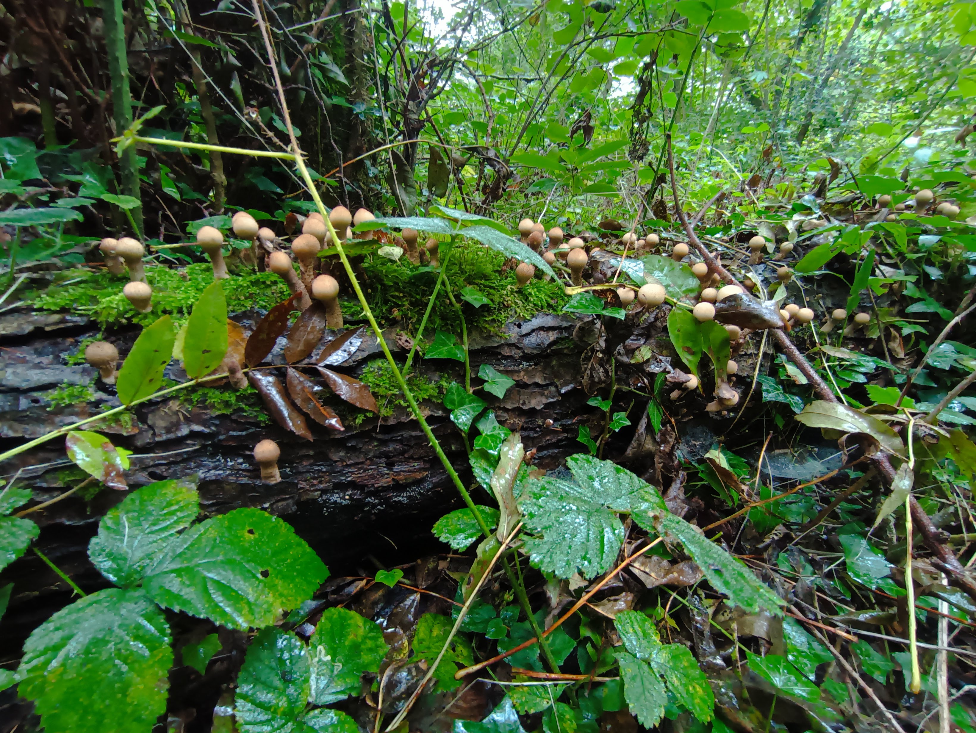
Interesting fungi

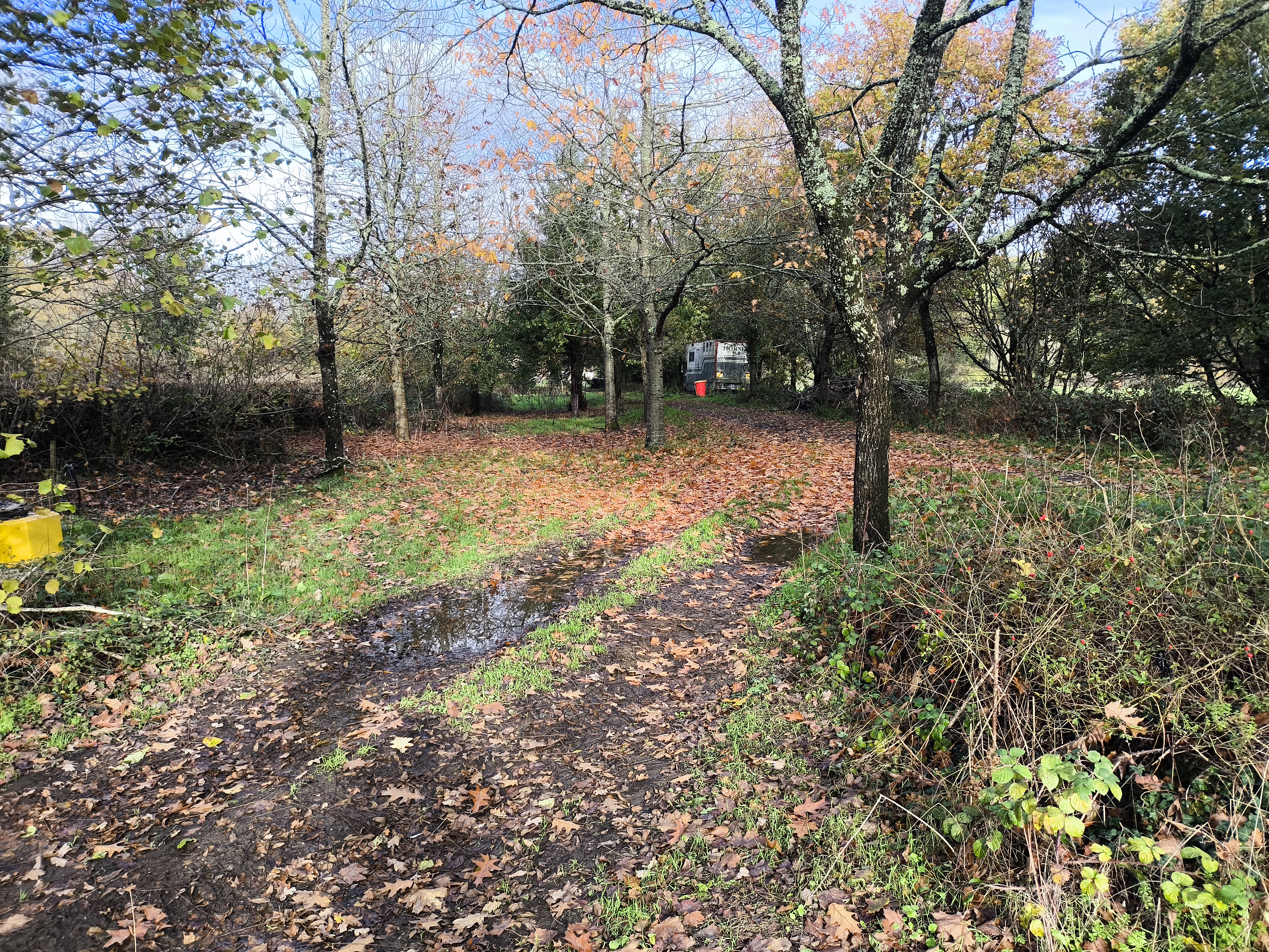
Nature creeping back in

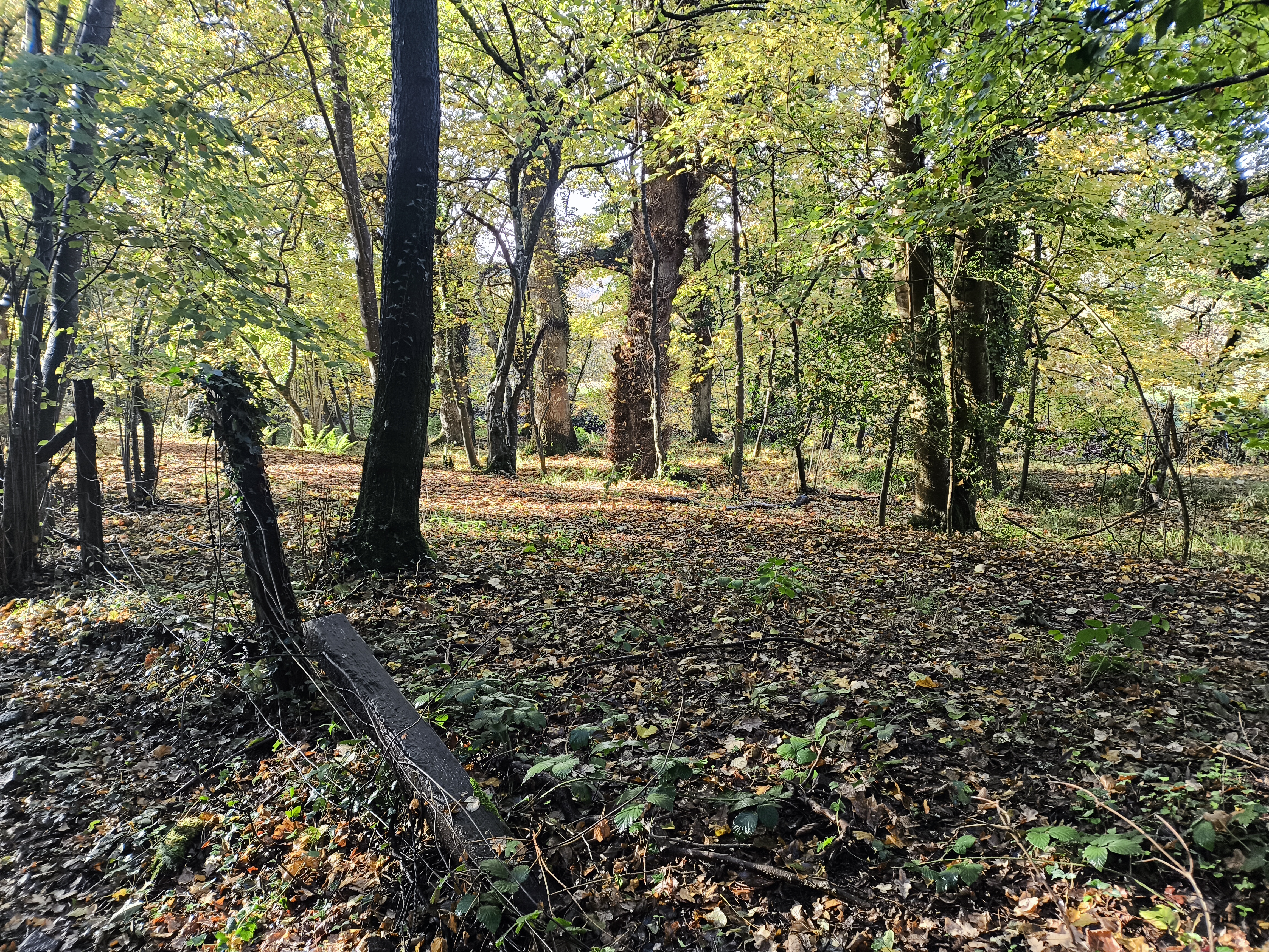
Vague sense of Mirkwood

Fungi city

Looking from the path across the trackbed into some beautiful native woodland

A strainer post, still strong after 150 years

Keeping us on track

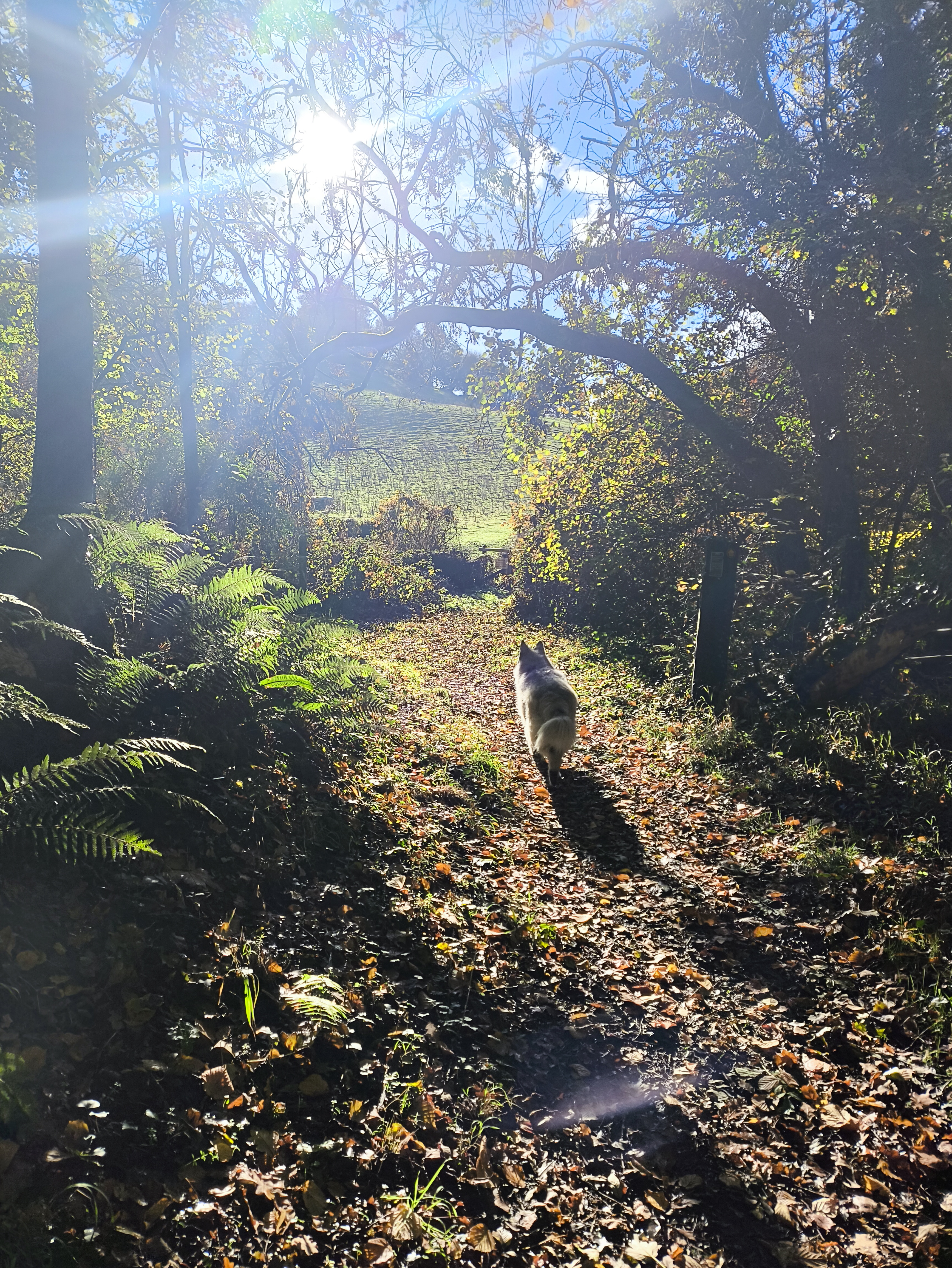
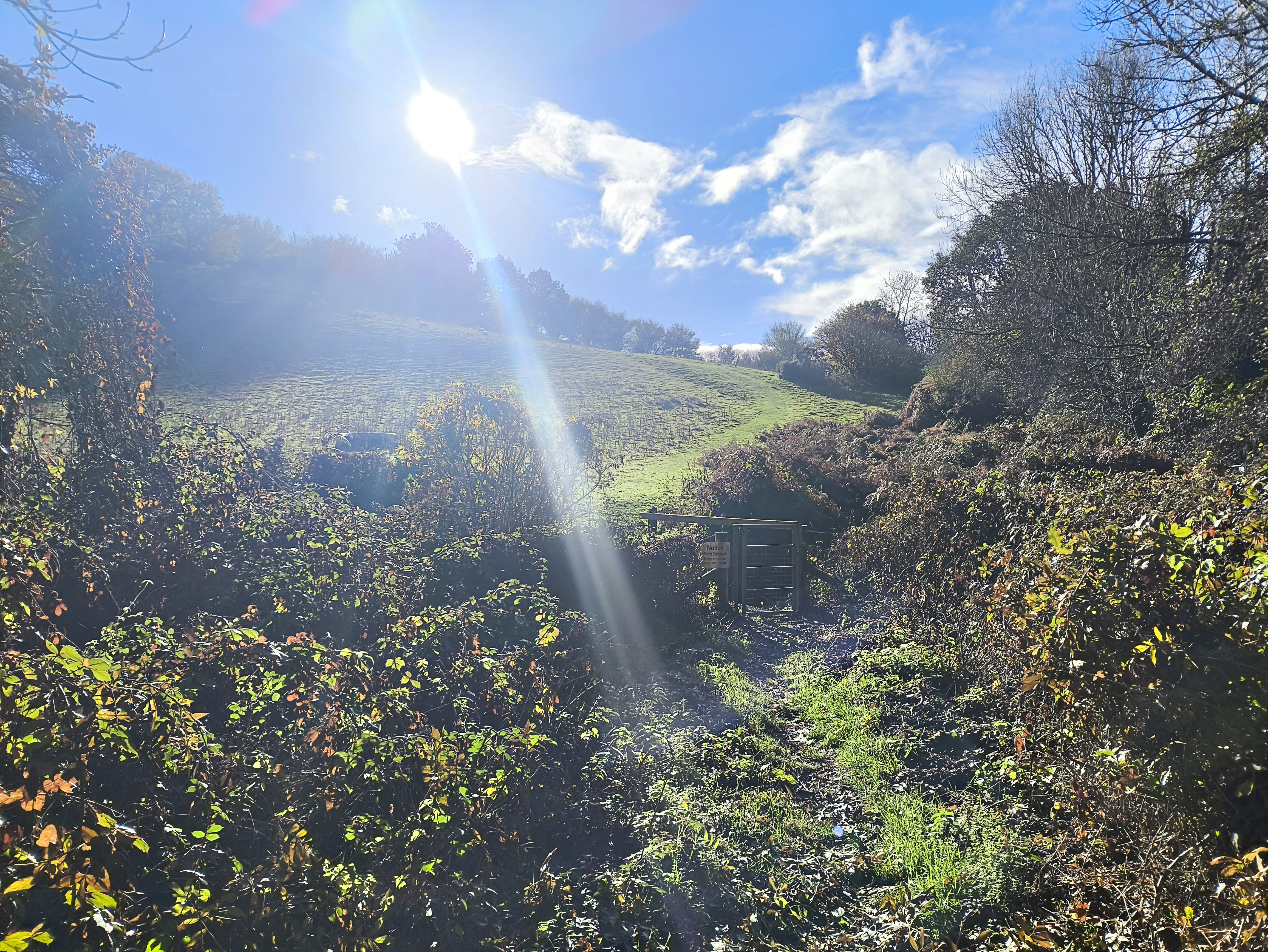
Emerging into the sun

Time to turn around

As the path leaves the wood there is a kissing gate leading into a field. For me, this is a nice point to turn around and retrace my steps. If you decide to continue along the footpath towards Ryden Farm and the village of Trusham, please note that there is usually livestock in these fields so keep any dogs on a lead.

Turn to turn around - or not!

Parking

There is space for one or two cars against the hedge just over the Teign River bridge, or if you prefer, on the road below the Manor Inn. Please don’t park in the pub car park unless you have their permission.

The Manor Inn is an excellent place to finish the walk.
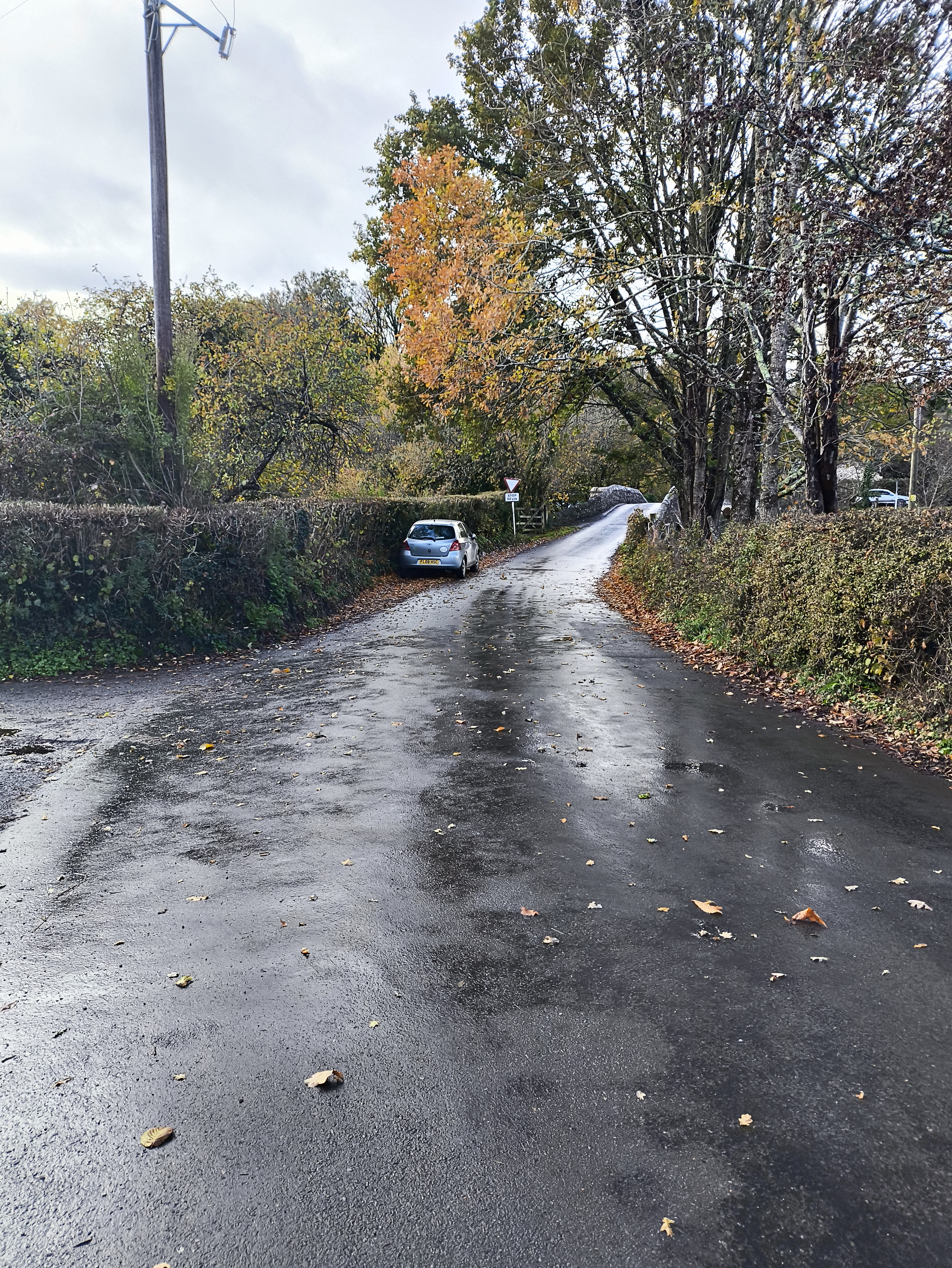
Parking for two cars

References