
Information
- Distance: 4 miles
- Grade: Gentle
- A GPX route of this walk is available: Download GPX
- Directions to Car Park
- What Three Words
looked.sizzled.husky
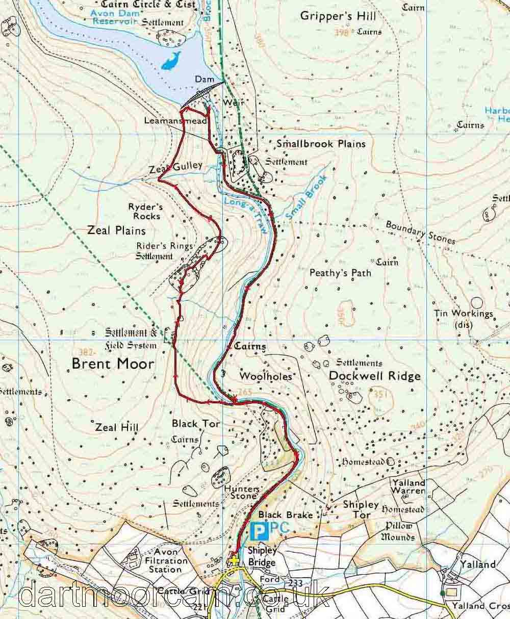
Map
Introduction
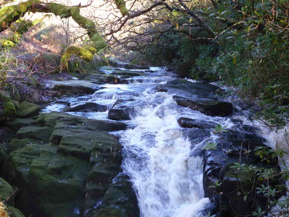
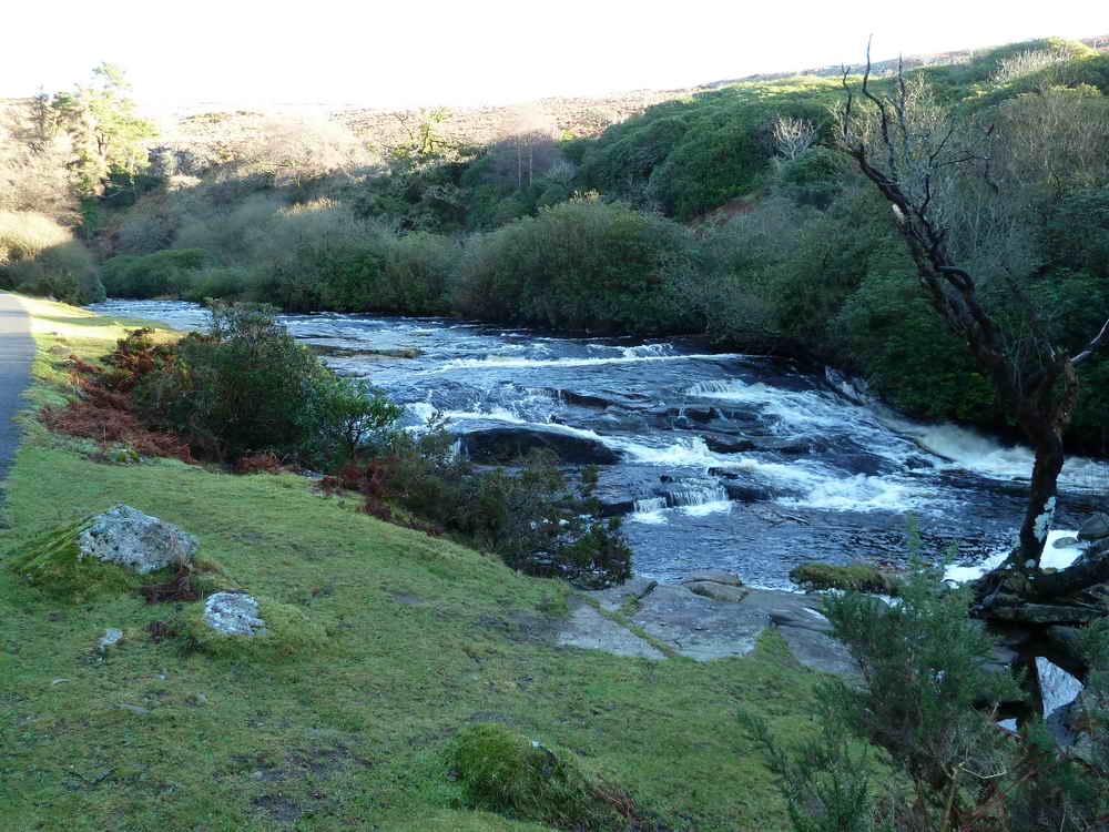
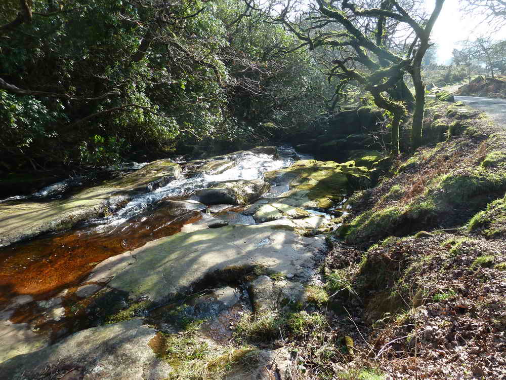
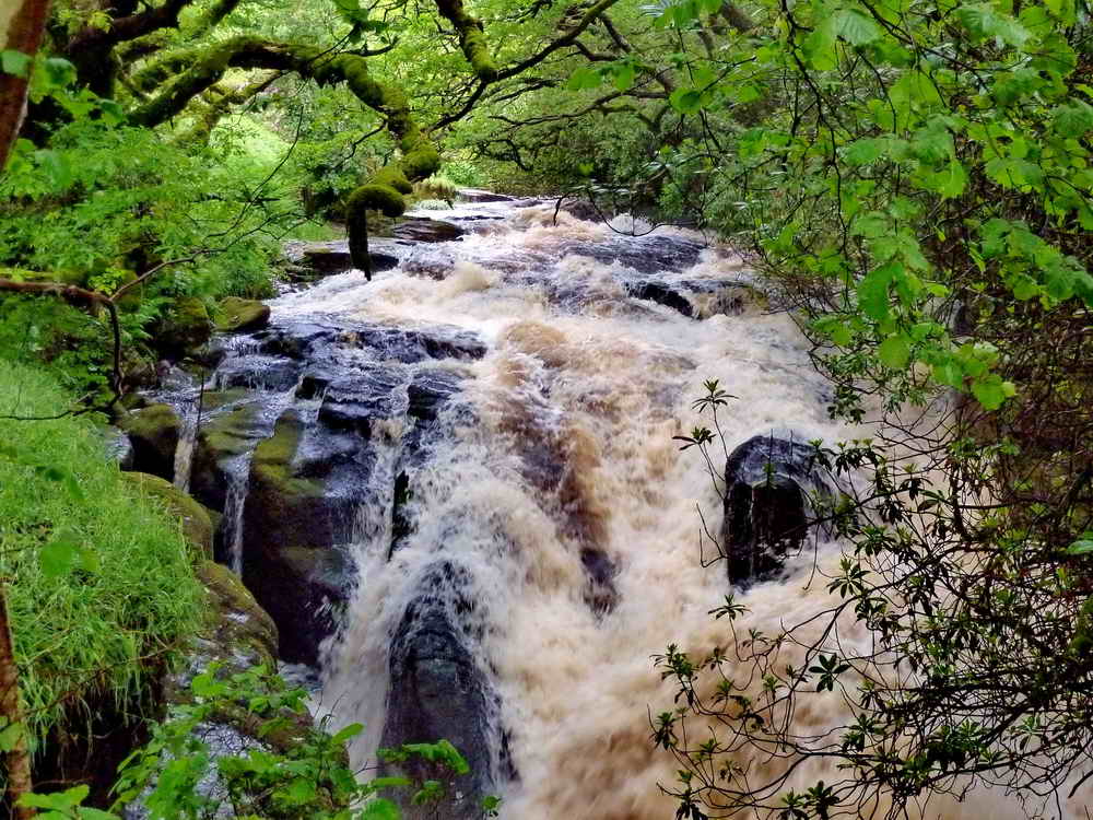
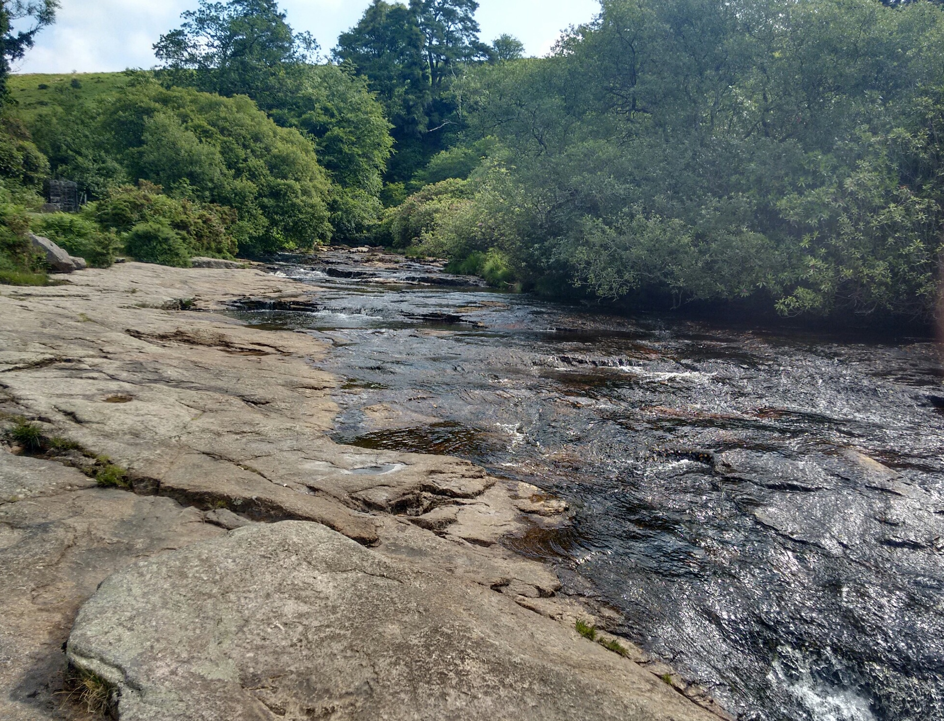
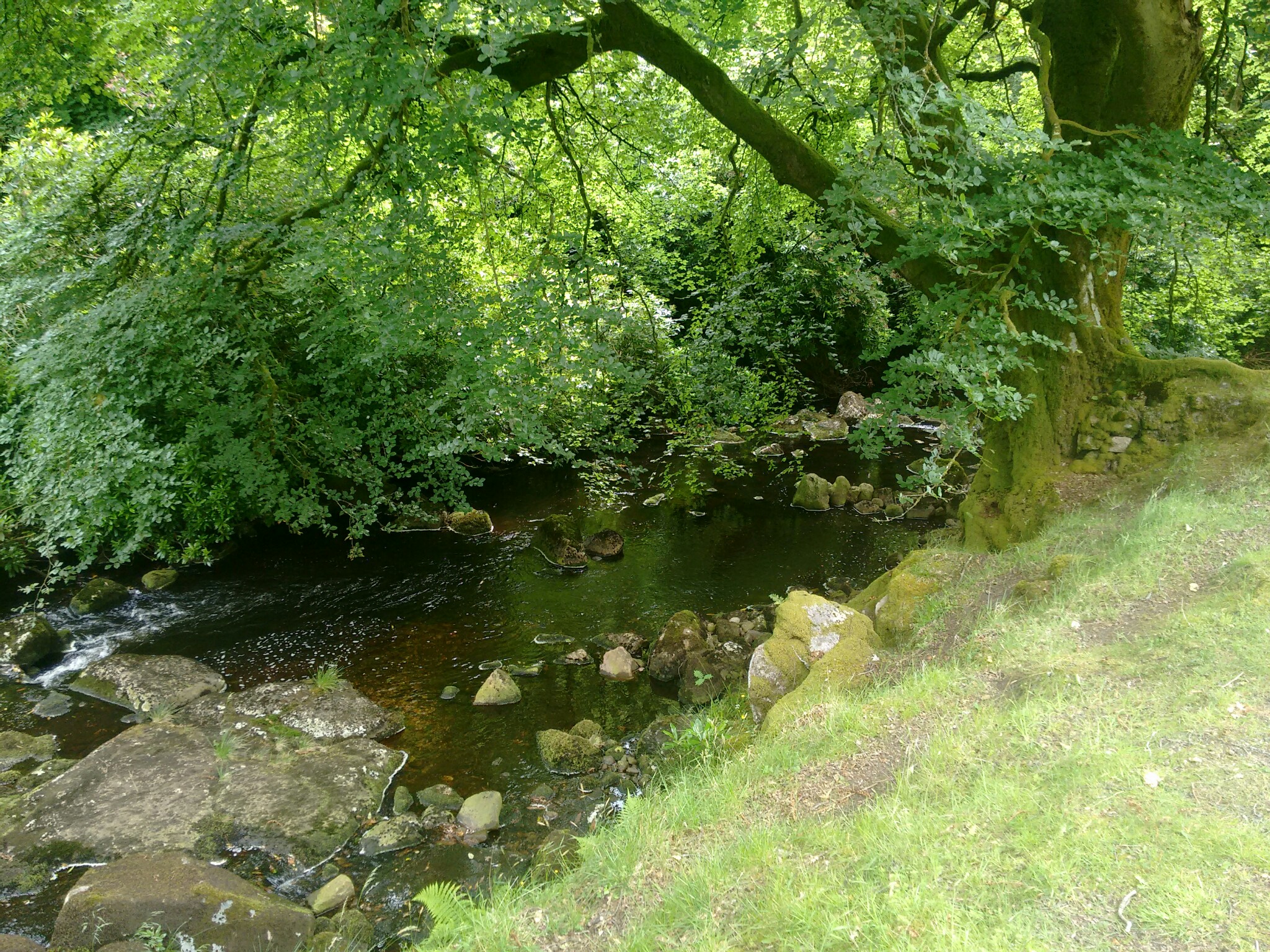
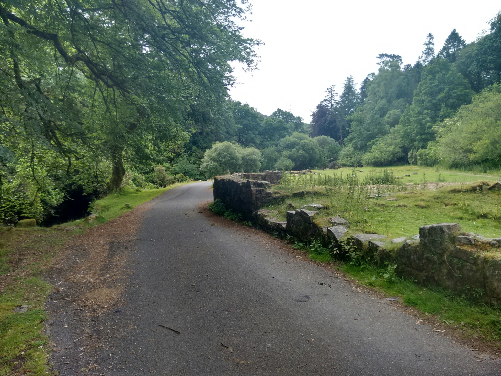
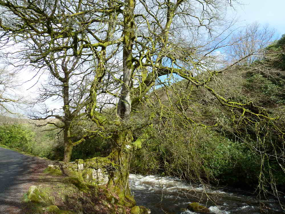
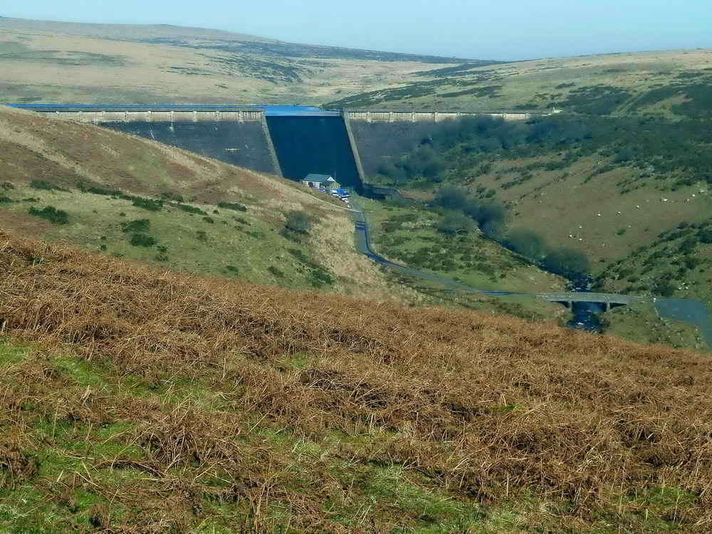
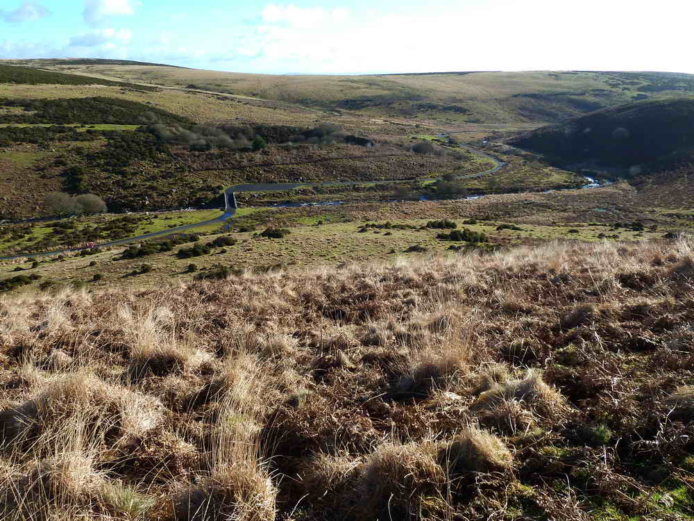
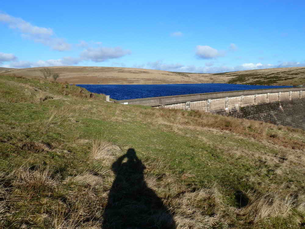
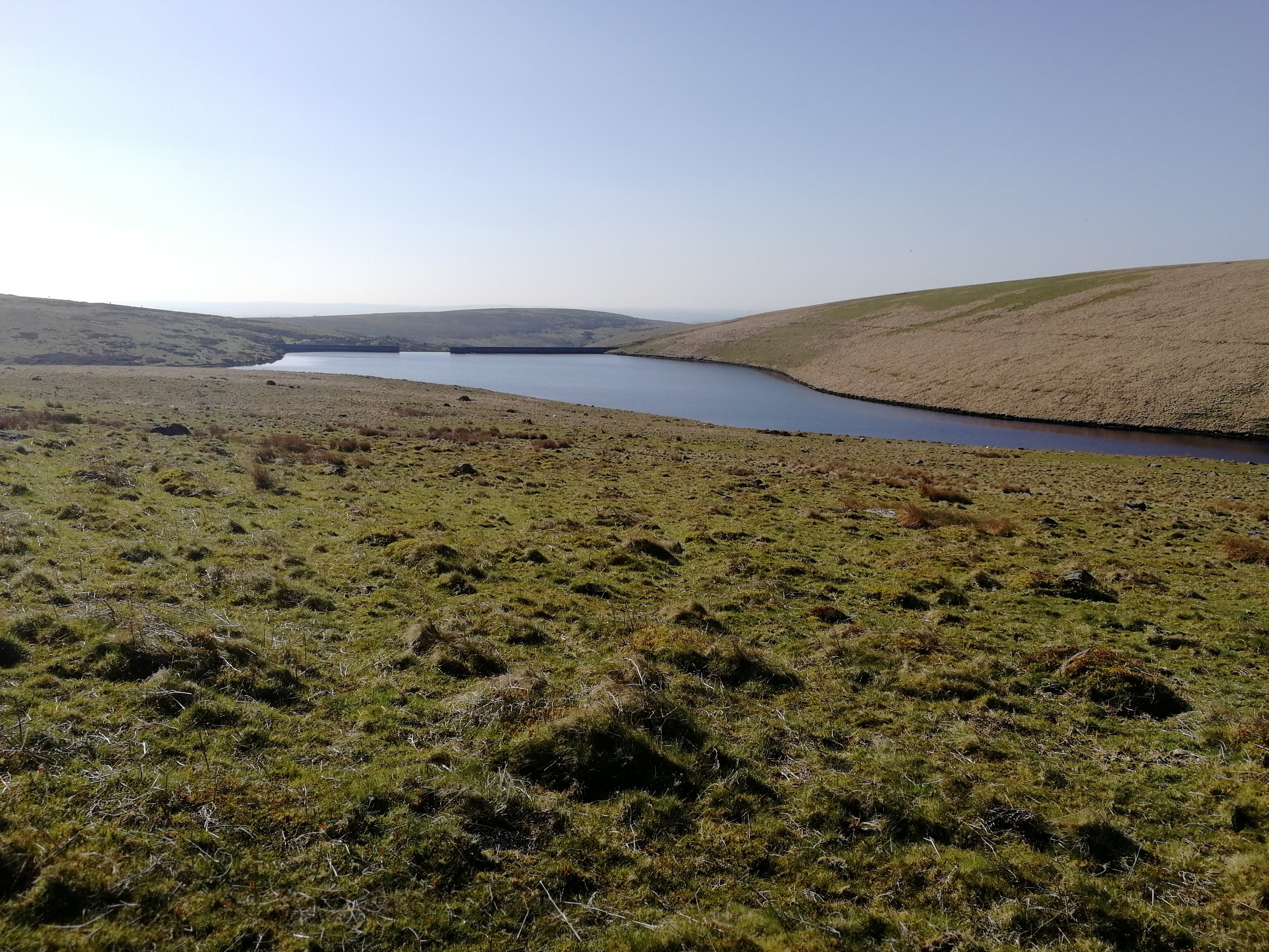
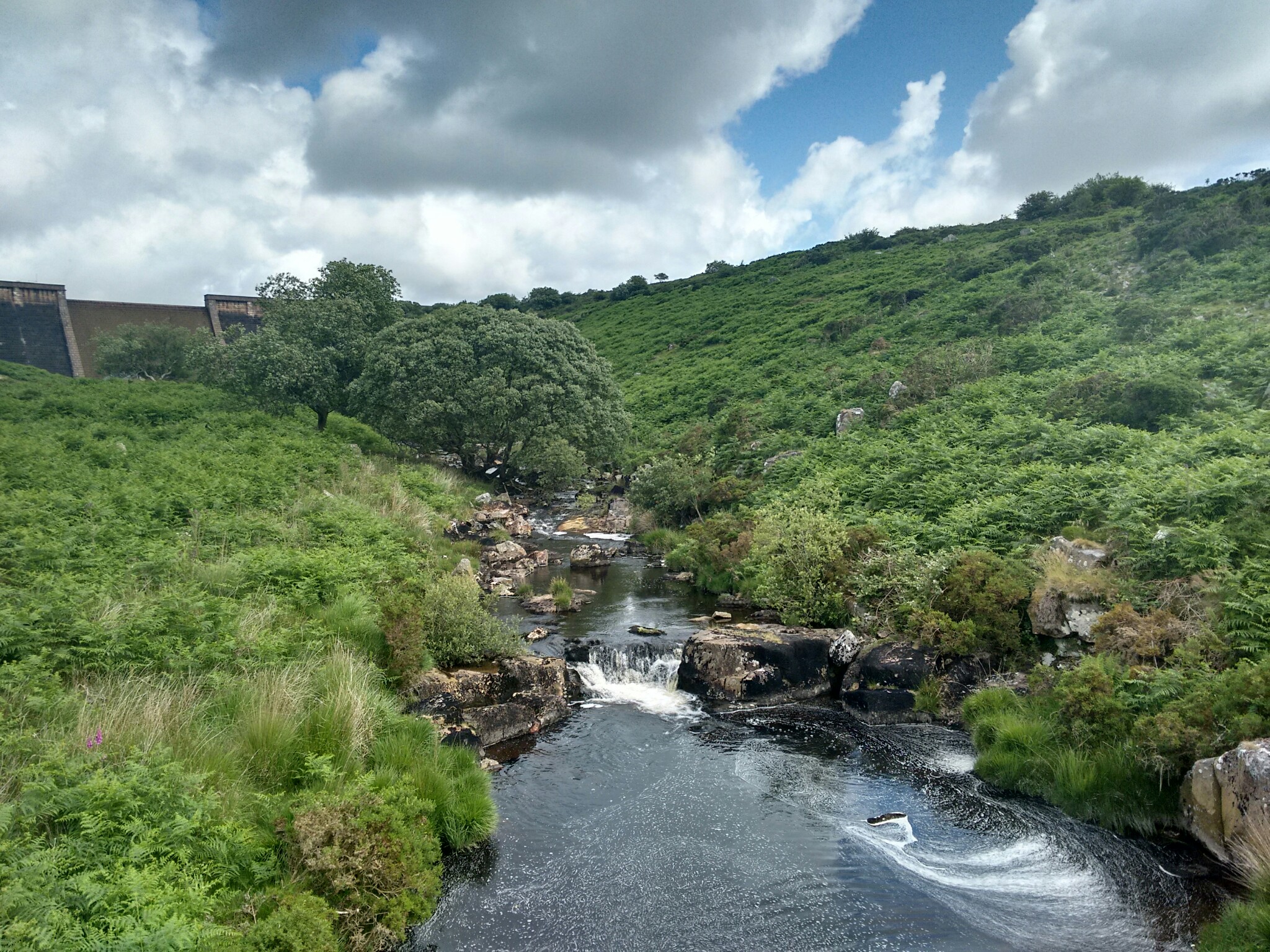
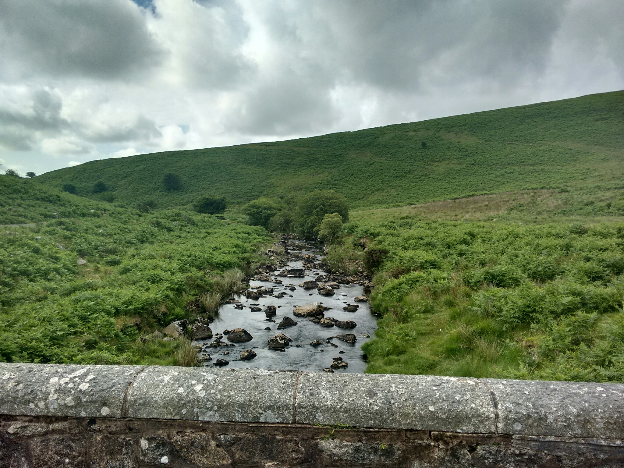
This is a walk that includes a wide variety. We start by strolling alongside the very pretty Avon River, which on a hot day is perfect for paddling in or just sitting by. We continue past a ruined building and the remains of its wild gardens, then leave the tarmac road to climb a gentle gradient to an ancient Bronze Age settlement. A short way past that, we arrive at Avon Dam Reservoir, nestling amongst low hills. We then descend below the dam and return along an easy tarmac path.
An easier option can be chosen by simply following the tarmac road all the way to the Dam. This is a bridlepath and also suitable for cyclists, and I’ve seen skateboarders and e-scooterists using it too. With no road traffic, the road is ideal for quiet enjoyment.
The tarmac road to the Dam is suitable for wheelchairs and pushchairs, making it one of the more accessible routes on Dartmoor.
Shipley Bridge
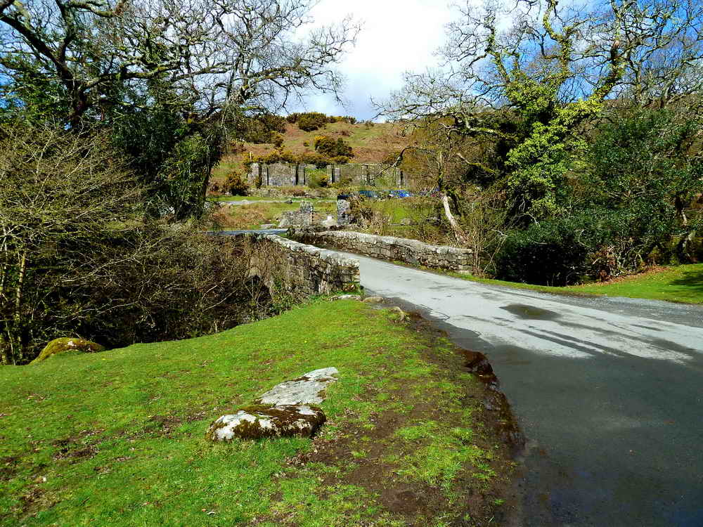
These C-Stones are described by Dave Brewer (2002) Dartmoor Boundary Markers, Halsgrove, pp. 217-219. Essentially, from 1841, these stones were erected in Devon to signify that the county adopted responsibility to maintain the bridge and the stones were set 300 feet either side of it.
Naphtha Works Ruins
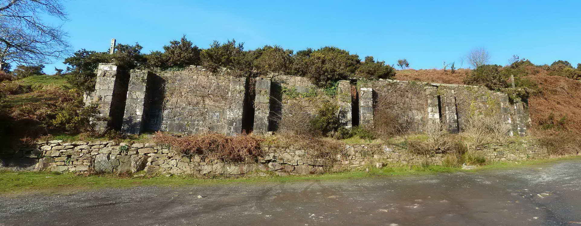
This car park is dominated by the stark granite walls of industrial ruin, left behind after a short and commercially unsuccessful attempt to extract Naphtha oil from Peat. There are extensive low-level remains of related industrial works from the late nineteenth centure in the hills a little way above and to the west of the car park.
- 1846: South Brent Peat and Peat Charcoal Works established at Shipley Bridge to extract naphtha from peat.
- 1847: Zeal Tor Tramway (horse-drawn) constructed to bring peat from Redlake. Portable tramway lines were laid across the peat beds.
- 1850: Company dissolved on 13th August.
Naphtha is a term for a broad category of light oils. Today, it is extracted from crude oil alongside other petroleum oils. In 19th Century Britain, Dartmoor was perhaps the only place where commercial attempts were made to extract it from peat. The process involves heating peat in the absence of oxygen when it breaks down into gases, tar and oils. Naphtha oils were used primarily as lighting oils as they burned well but were replaced by paraffin when it became more widely available, as it smoked less when burning.
- Book: The Redlake Tramway and China Clay Works. EA Wade, 1982, Twelveheads Press, Truro
- Wikipedia - Peat
- Legendary Dartmoor - Peat
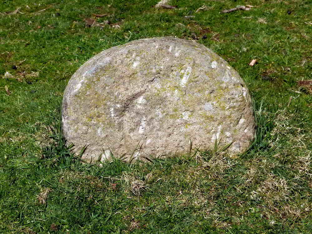
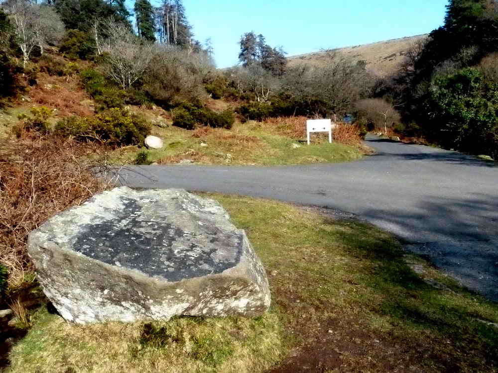
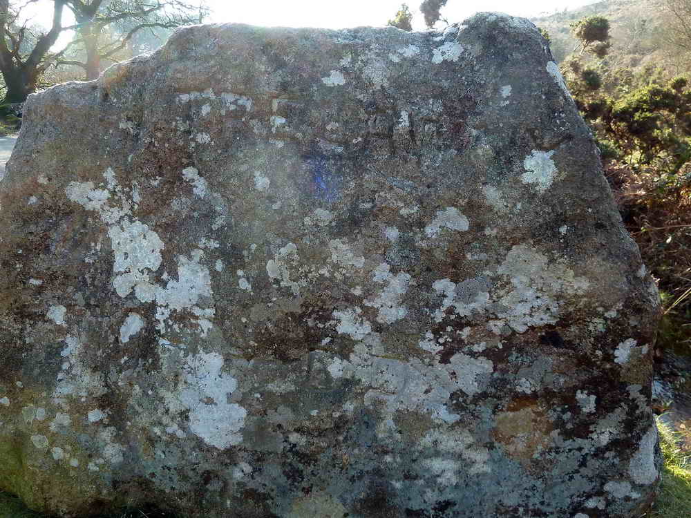
The Hunter’s Stone
About 250m after leaving the car park there is a large stone on the left, just before a junction which heads up to Avon Treatment Works. This is The Hunter’s Stone.
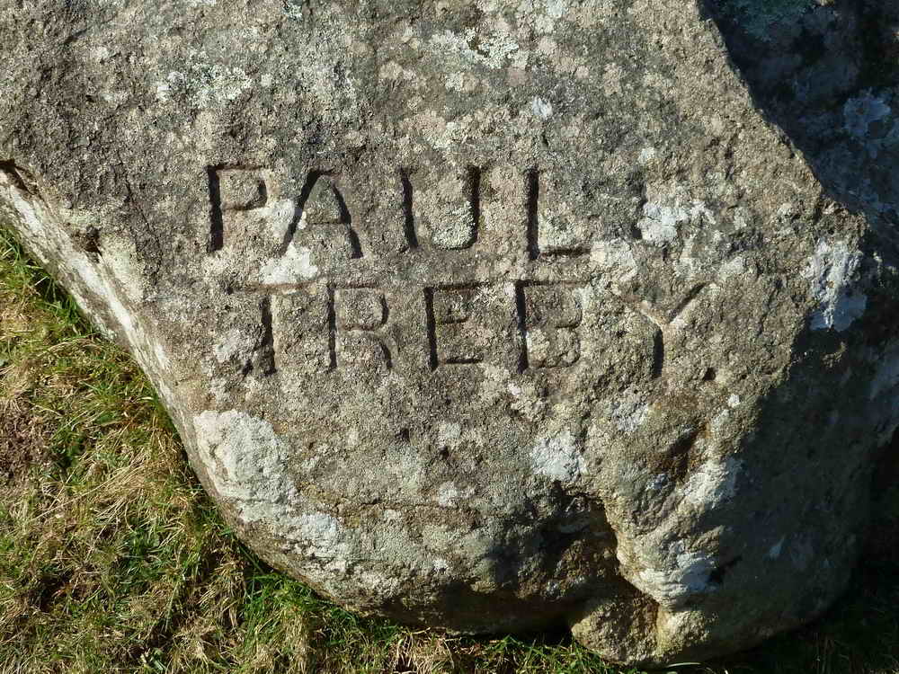
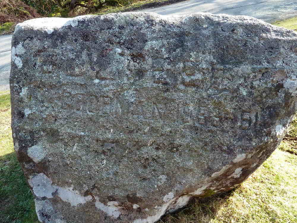
- The stone bears the names of past Masters of Dartmoor Foxhounds and was placed and first carved around 1894 by Mr. C.A. Mohun-Harris who owned Brentmoor House
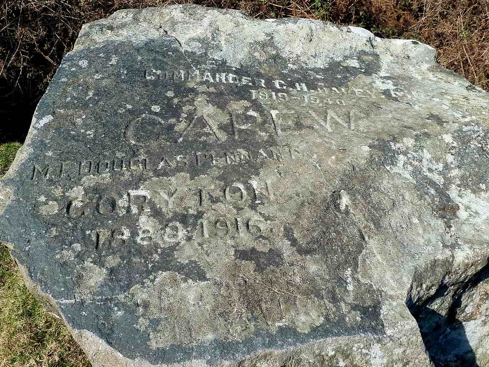
This top face is inscribed 1948 Commander C. H. Davey R.N. 1919 - 1940 and Carew Coryton 1888 - 1916
Between the words “Carew” and “Coryton” is inscribed MI Douglas Pennant. There appears to be illegible lettering at the bottom of the face, just above the straight edge.
In 2026, a new name was added to the stone - “D.Mills 1953-91”
It’s first mentioned in the 1895 book “Stones of Dartmoor”, but has obviously been added to since that date. It was relocated a short distance in 1954 to protect it from damage from vehicles accessing the water works, work costing £23 and paid for by Dartmoor National Park which had only been formed three years prior.
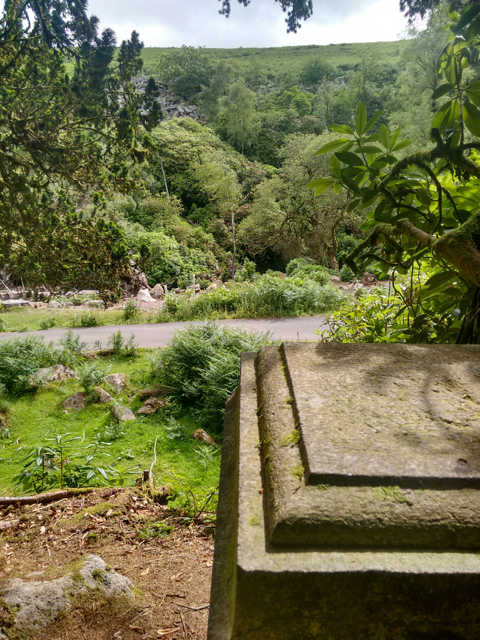
Memorial to Mary Meynell
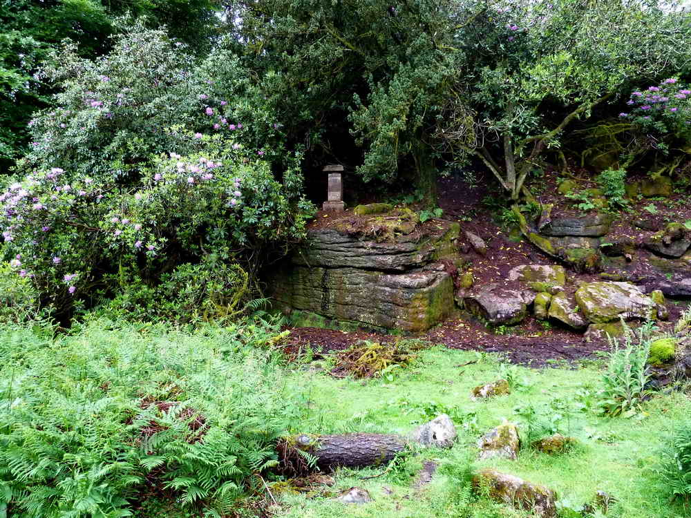
Mary Meynell was a five year old girl who died on the 27th March, 1863 and who lived at Brentmoor House.
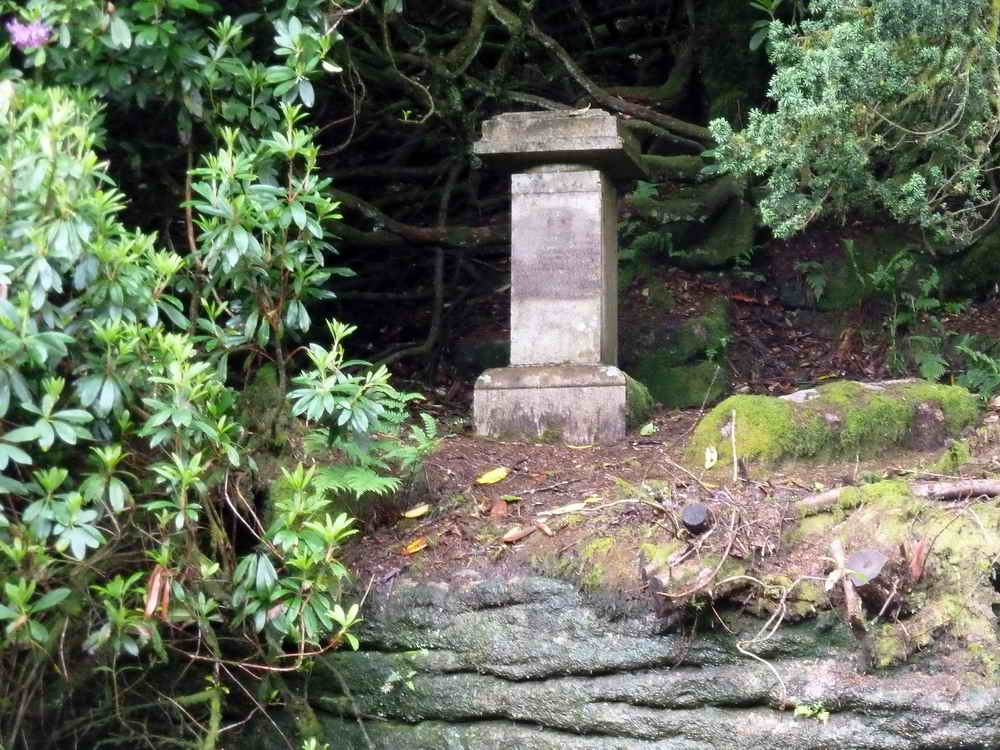
The Brentmoor House Memorial: this bears an inscription to Margaret or Mary, daughter of Francis Meynell who died, aged 4, after a riding accident. The inscription is almost illegible and the text below has been deciphered with reference to a Geocaching web page and to the Dartmoor Magazine, Issue 102, Spring 2011, pages 14-16.
The inscription reads:
MARCH 27TH 1865
MY LOVELY LITTLE LILY
THOU WERE GATHERED VERY SOON
IN THE FRESH AND DEWY MORNING
NOT IN THE GLARE OF NOON
THE SAVIOUR SENT HIS ANGELS
TO BEAR THEE HENCE MY OWN
AND THEY`LL PLANT THEE IN THAT GARDEN
WHERE DECAY IS NEVER KNOWN
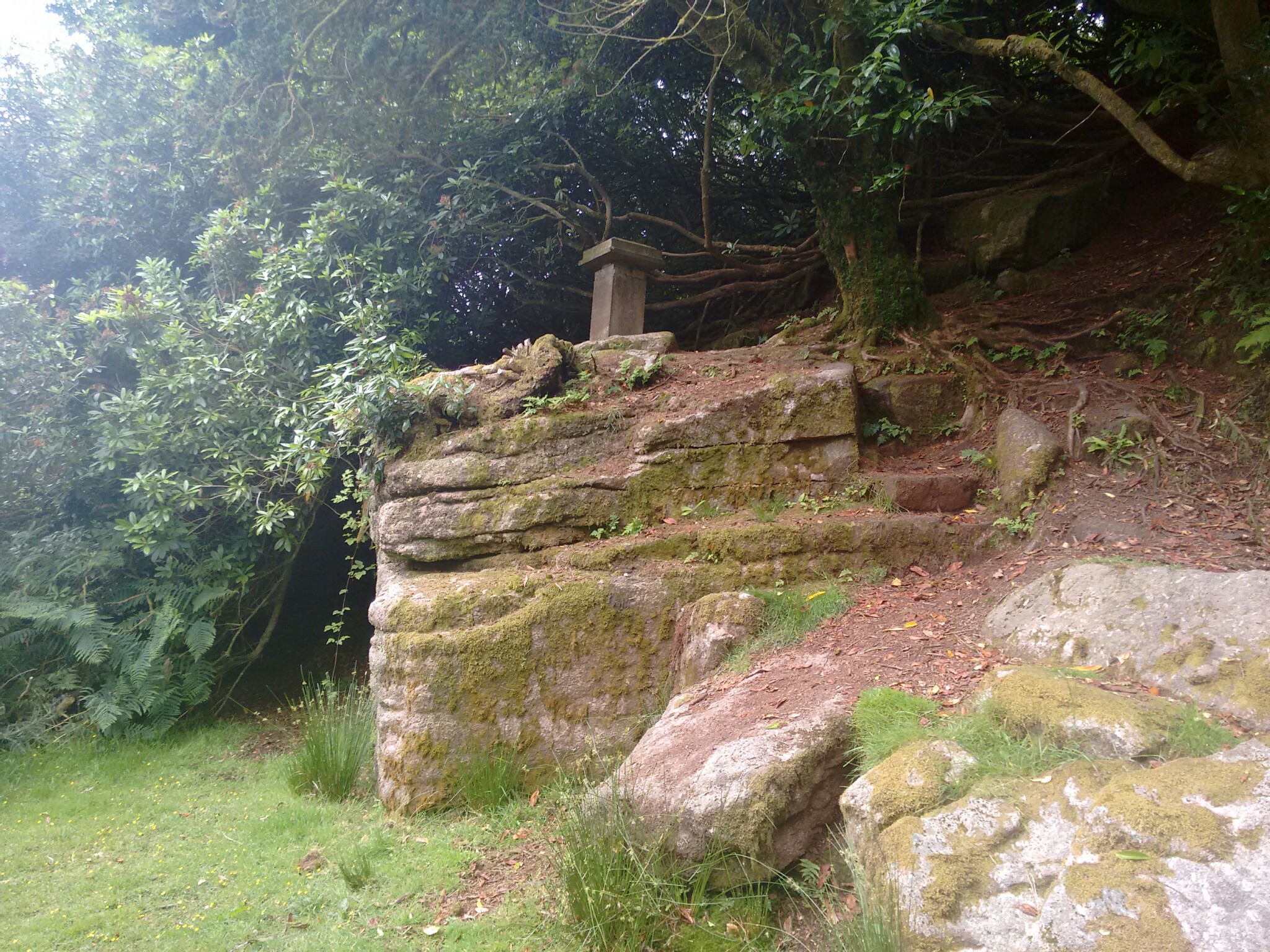
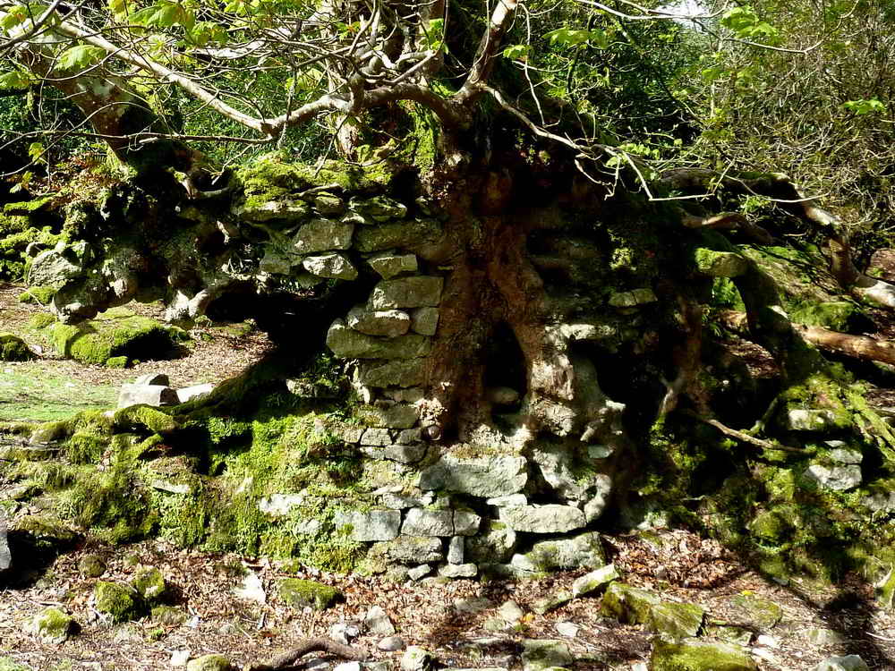
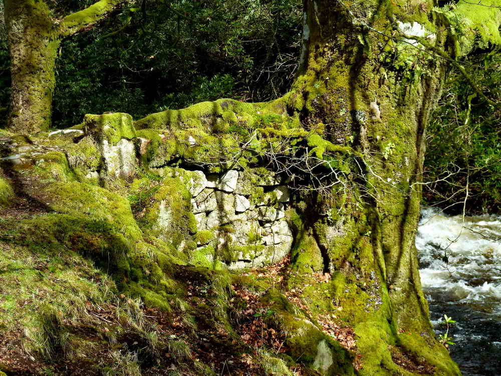
Brentmoor House
Brentmoor House and Brentmoor Cottages (SX 682 635) is currently little more than foundations and some low masonry remains sited close to the river under a sheltered spot. It’s not known exactly when this corner was settled, but there were certainly buildings here in the 1700s and, looking around, you can see why it was chosen. Sheltered, close to water and easily accessible.
Timespan
- 1700s: It was originally a farmstead with buildings set for animal husbandry and an orchard located across the river.
- Mid 1800s: Purchased by Francis Meynell, a distinguished naval officer who took part in anti-slavery operations. With his wife Caroline, he transformed it into a substantial house. He was also a noted watercolour artist whose illustrated journal is kept at the National Maritime Museum at Greenwich. Tragically, their five year old daughter contracted tonsillitis and died in 1863. They left a memorial to her in the grounds which remains today. In the same year, their second child, a 15 month old boy, also died. Francis left for Dawlish in 1870, and died shortly afterwards.
- 1880: Left empty.
- 1890: Bought by Mr C. A. Mohun-Harris who commissioned the Hunter’s Stone in 1894 nearby.
- 1900: Used by the Master of the Dartmoor Hunt.
- 1930s: Used as a Holiday home
- 1941: During World War 2, Brentmoor House was leased by the Friends Relief Service as an evacuation home for deaf children from Plymouth.
- 1945: Served as a Youth Hostel.
- 1955: Youth Hostel operations ceased.
- 1957: Avon Dam completed. Some concern about living below it may have made the site less desirable.
- 1968: Royal Marines were instructed to demolish the now derelict house with explosives.
- 2011: Listed for sale as part of a Brentmoor estate (and neighbouring Dock Ridge) comprising 2,763 acres for £600,000
- 2021: Both estates again listed for sale for £750,000
When the Avon Dam was built at the start of the 1900s, this property was amongst the land purchased by South West Water and was sold after the demolition into private ownership. Several planning requests to redevelop the land have been refused by Dartmoor National Park and it seems likely it will remain an interesting curiosity.
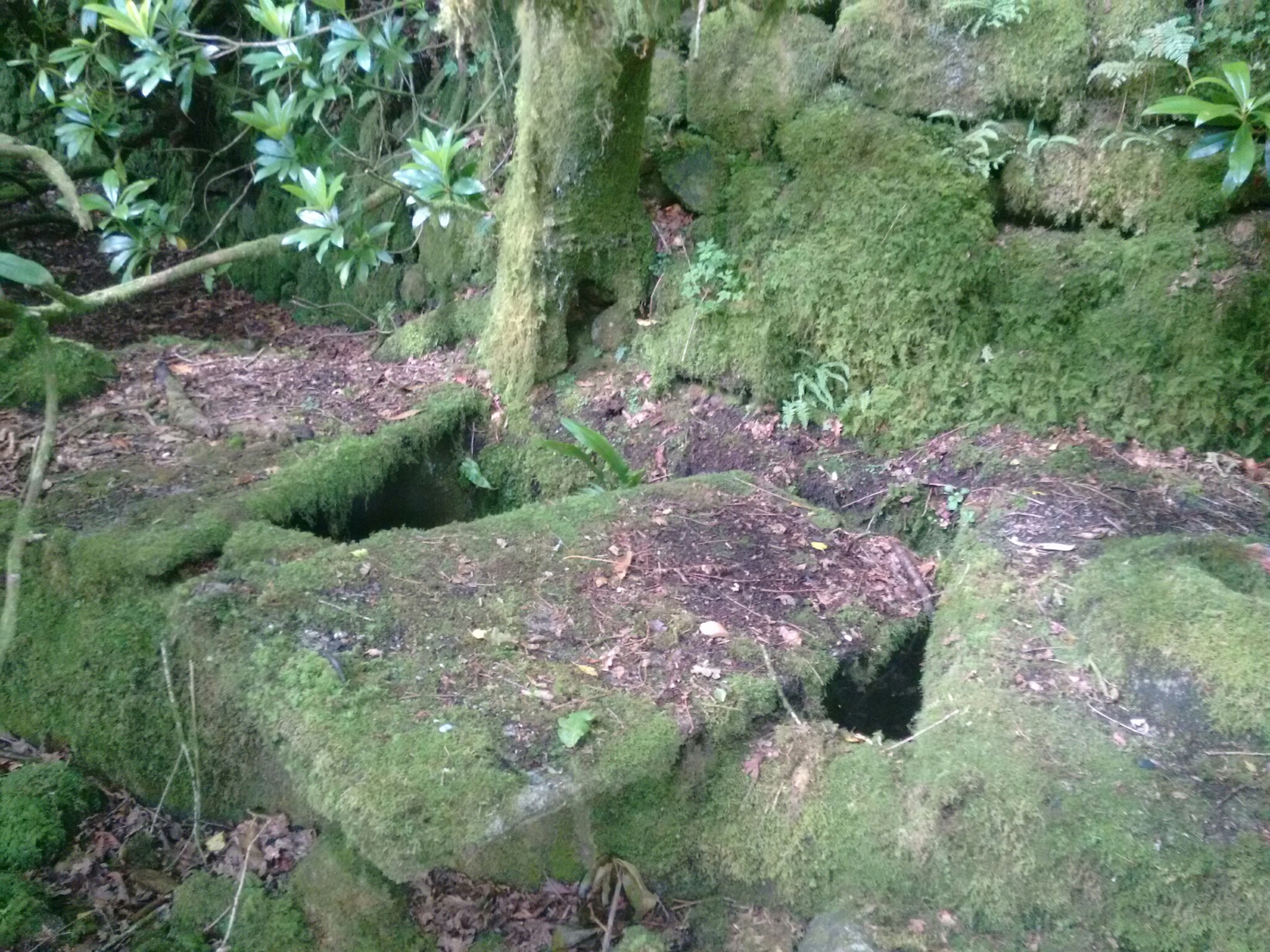
Brentmoor Cottages
A short way North of the main house there are further ruins of three terraced dwellings, and a separate house to the Northwest of those which was possibly a pump house. These show up on the Ordnance Survey’s 1880s tithe maps as “Brentmoor cottages”
Flint Knife
In 1930, half a flint blade knife of early Bronze Age was found 200m above the main house, and is now kept at Totnes Antiquarian Society’s Museum.
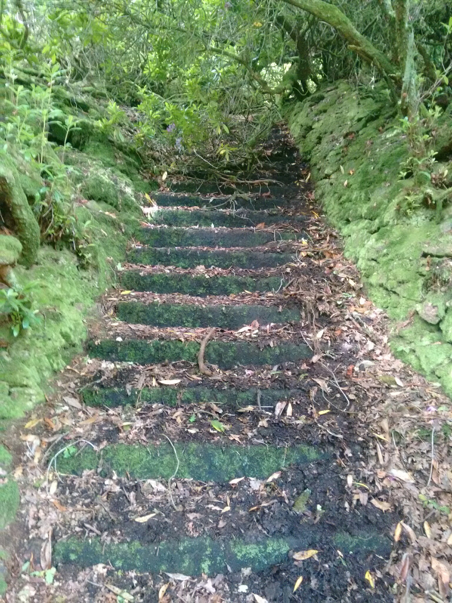
Leaving the Tarmac
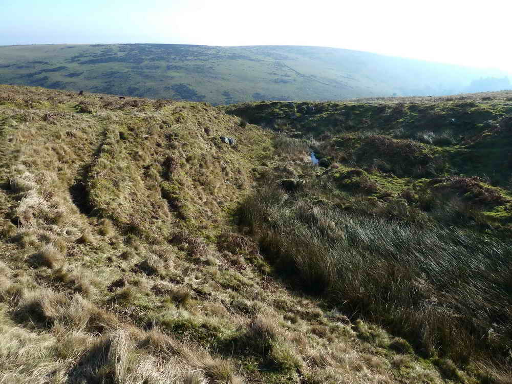
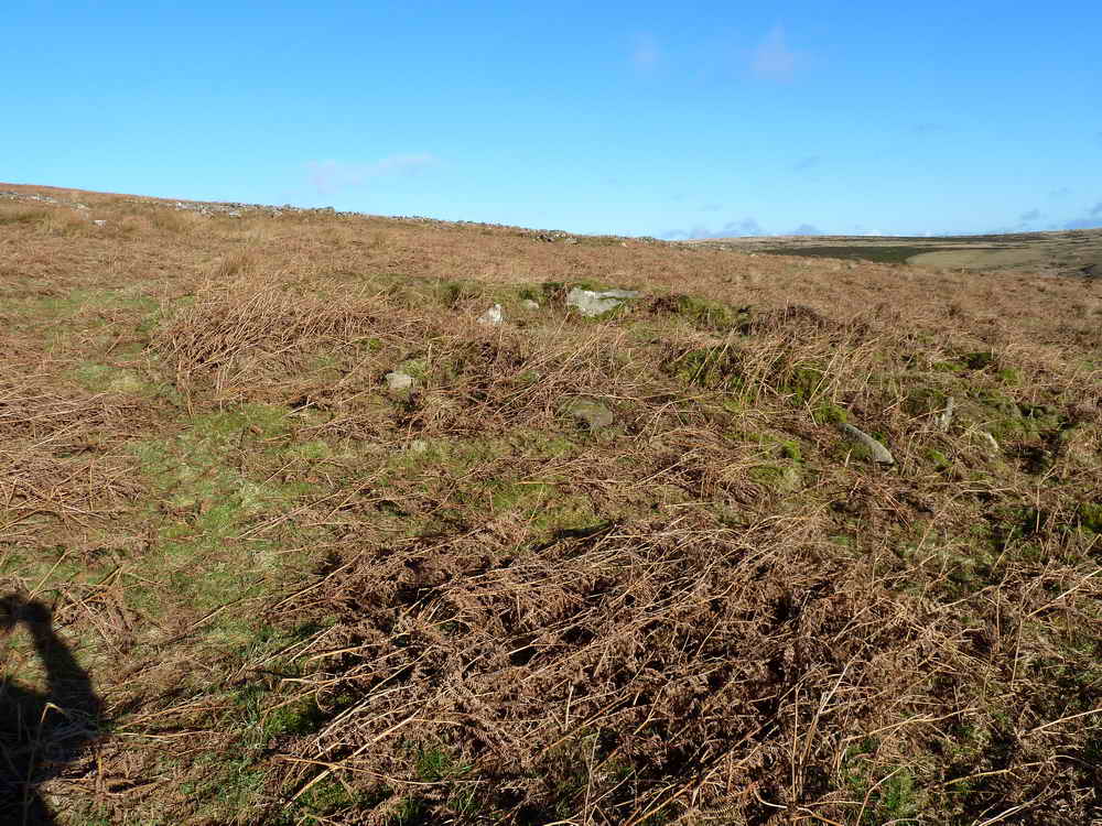
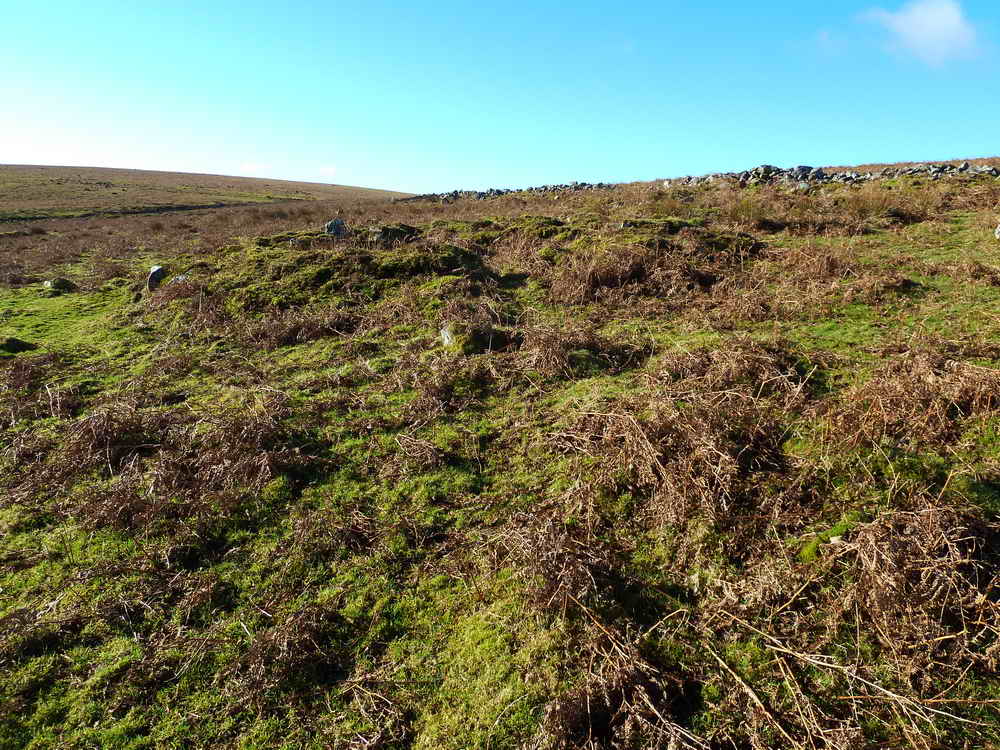
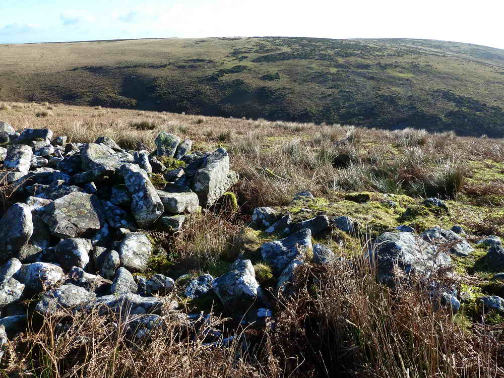
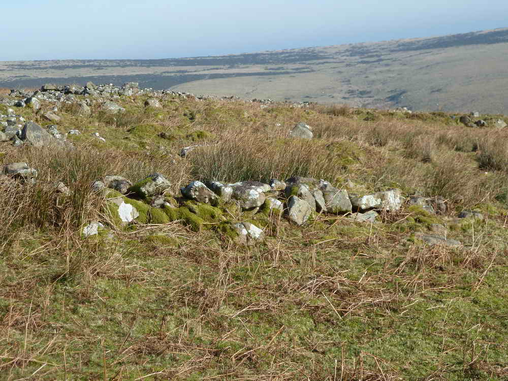
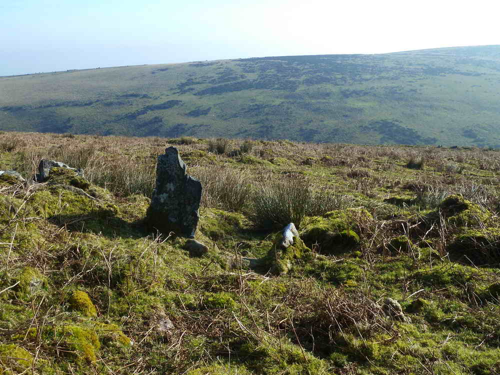
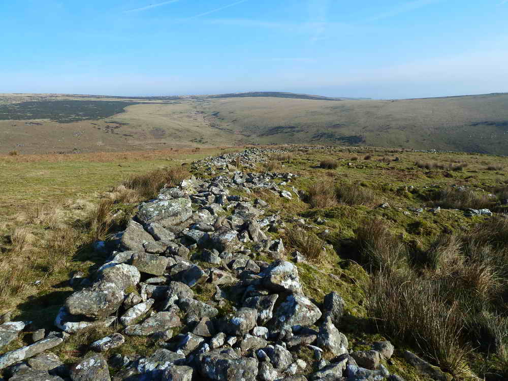
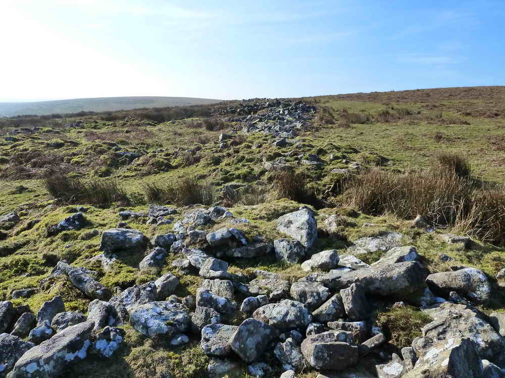
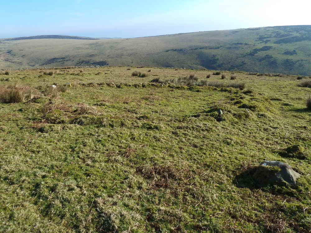
Rider’s Rings
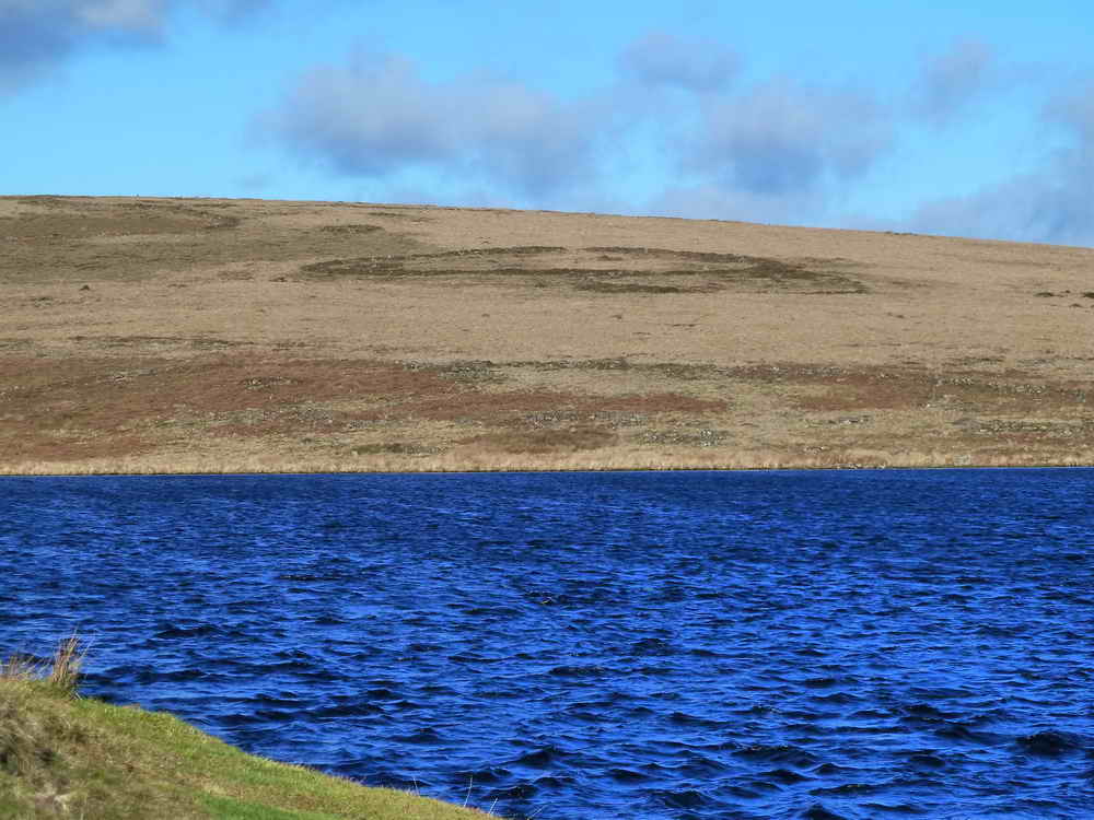
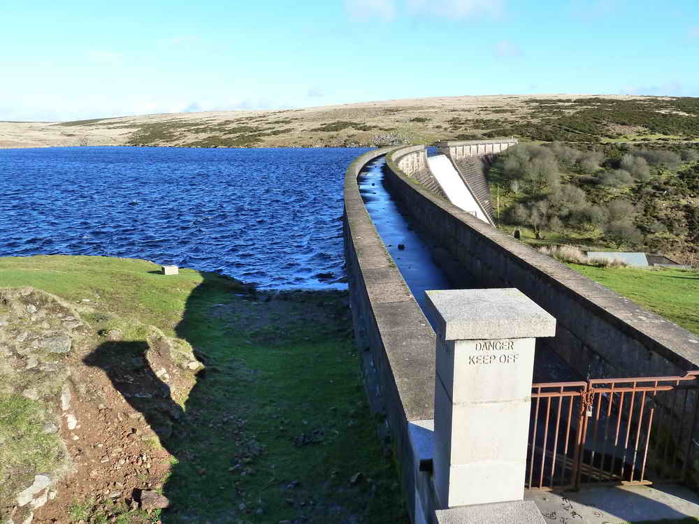
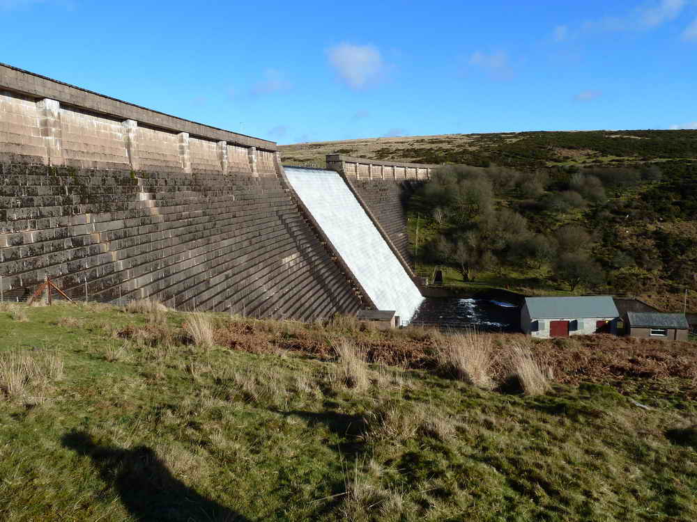
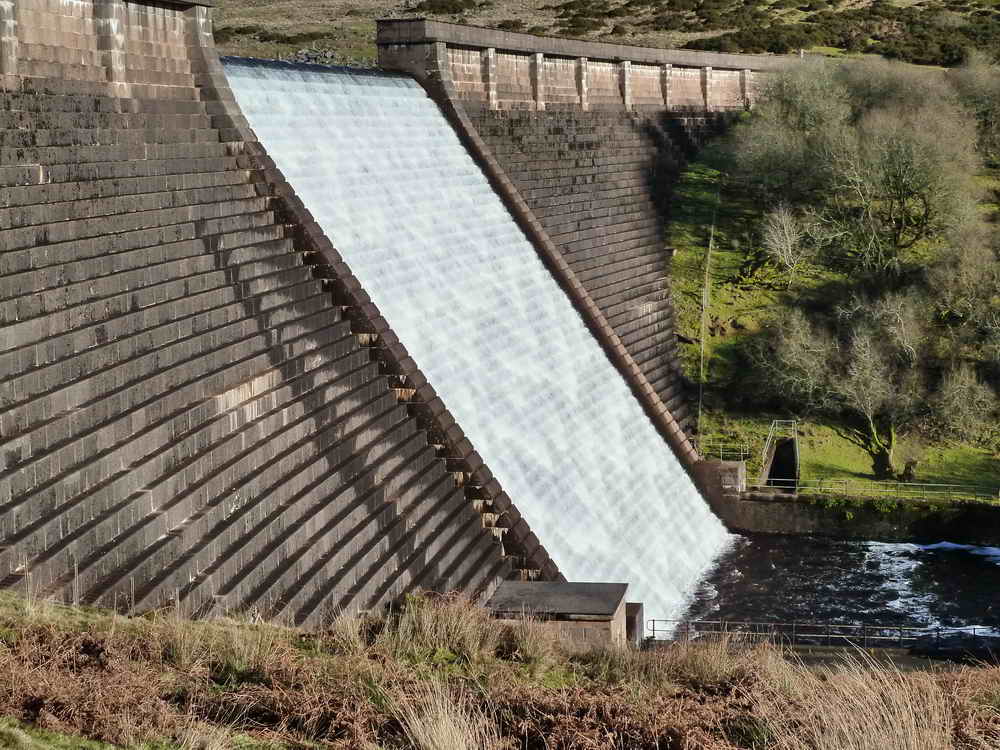
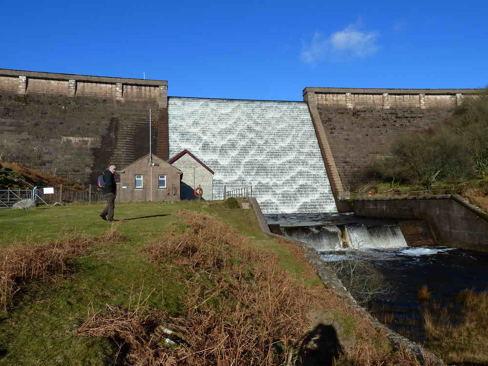
Avon Dam Reservoir
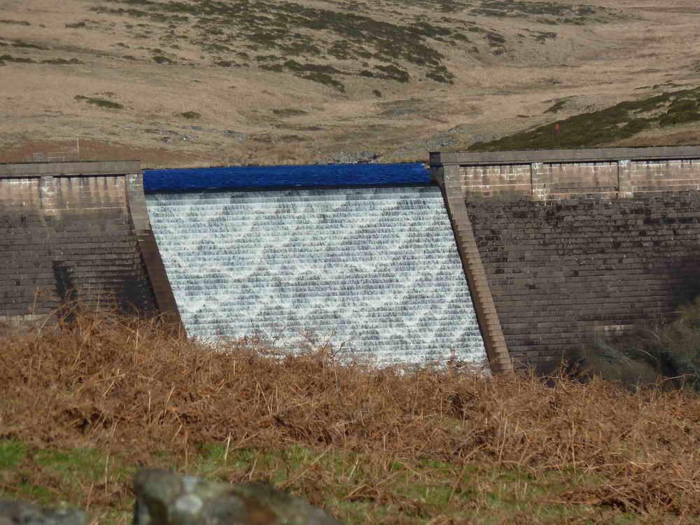
Avon Dam was completed in 1957 and supplies water to a large region of the South Hams and elsewhere.
- Archaeological investigations before the dam’s construction revealed evidence of medieval tin activity, including Blowing Houses consistent with other parts of Dartmoor.
- It’s owned by South West Water and managed by South West Lakes Trust - Avon Dam
- There is angling for Natural Brown Trout allowed by permit.
Avon Dam
Parking
There are around 20 pay and display parking spaces at the posted coordinates which can get busy and even full at peak times. There are toilets and sometimes an ice cream van makes a welcome appearance in the Summer.