Information
- Distance: 5 miles, walked by Keith Ryan and transcribed by Simon Avery
- Grade: Strenuous
- A GPX route of this walk is available: Download GPX
- Directions to Car Park
- What Three Words
searching.pleasing.sleeping
Map

Warning This walk enters the Okehampton Military Training area. Before embarking, do check the Dartmoor Firing times The road access to the area will be manned and blocked at these times by the camp.
Additionally, you should not approach or touch and strange or metallic objects on this walk. It is common to spot such things, including live munitions and rounds, that have been left behind by the live firing training.
If you do encounter such an item, take a positional reading and report it to the Training Safety Officer (tel: 01837 657210), Okehampton Camp or the Police who will investigate and dispose of the item safely.
Introduction
This walk takes you onto the Okehampton Military Training area and passes the anti-tank weapon firing points, Command Post, Target Butts, an OS Trig point and Red-a-Ven Brook and visit the second highest point on Dartmoor, Yes Tor at 610meters, or 2,000 feet. (High Willhays, only a short distance further, holds the title at 619m, 2031 ft)


East Mill tor

Tank Firing Positions


Okehampton Military Range was established in 1876.
Three types of target built in 1901 - static, moving and disappearing. The camp became the HQ for the Army School of Gunnery in the summer months and thereby the county’s most important practise camp

Route Suggestion If you’re interested in military history, a short detour to the railway a few hundred meters ahead is well worthwhile.


Railway Target Shed


Telephone Box

This part of Dartmoor has many such containers from various dates. They were (and some still are) used for field communications with the various permanent Observation Posts.
West Mill Tor


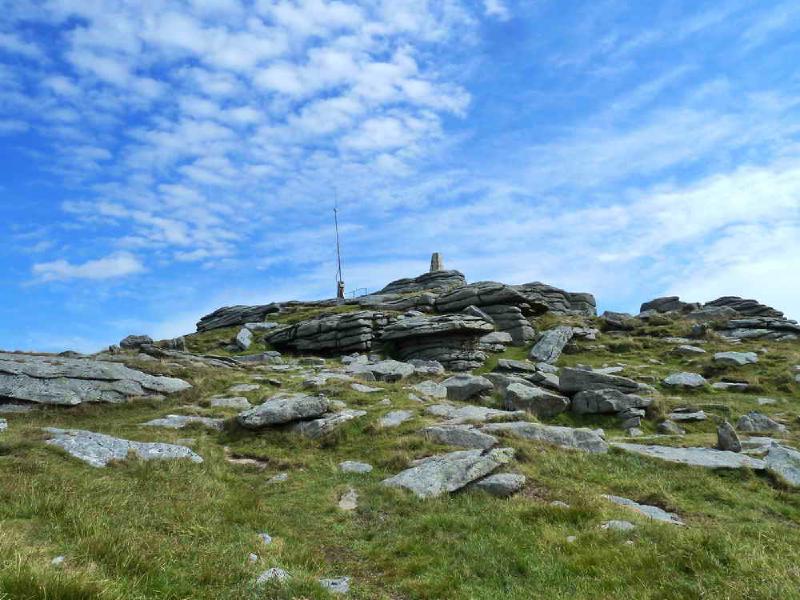
Yes Tor


Route Suggestion If you haven’t visited Dartmoor’s highest point yet and have some energy left, continuing on to High Willhays pictured about for an additional 850 meters will give you that distinction.


This walk was accessed by driving from Tavistock into Okehampton, turning right at the traffic lights, following the road up the hill and over the A38 dual carriageway. Passing the military camp on the right and driving up onto the moor to a large parking area on the right, marked by the yellow cross.
